Yeagarup Beach
- Saltwater
- Beach
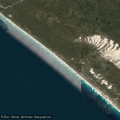
Yeagarup Beach
- Saltwater
- Beach
- Sq. miles
- 2.2
- Boat Ramps
- 0
- Access Points
- 0
- Campsites
- 2
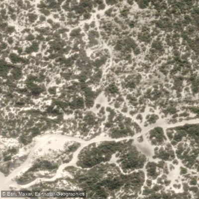
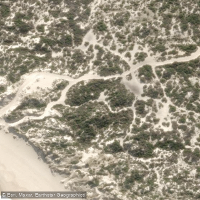
Yeagarup Beach is a remote coastal beach located within the D'Entrecasteaux National Park, accessible only by four-wheel drive vehicle via a challenging track over the massive, mobile Yeagarup Dunes. The beach itself is a long, open stretch of coastline known for its magnificent views and relaxed ambience. Access for paddlers involves driving from Yeagarup Lake, which is the gateway area accessible by 2WD vehicles, and then navigating the soft sand track over the dunes, a journey that is challenging and rewarding. There are no formal boat ramps or dedicated paddler facilities at the beach itself. The beach is noted for being a bit windy once the seabreeze sets in, which is a significant consideration for paddlers planning a launch from shore, especially for kayaks or SUPs. The area is part of a pristine national park environment, with the beach flanked by the vast dune system on one side and the Southern Ocean on the other. The Warren River mouth is a nearby feature, reachable as a day trip destination for those launching from the beach. Camping facilities are available at Yeagarup Beach, as well as at Yeagarup Lake, which could serve as a basecamp. Due to the 4WD-only access and the need to cross the dunes, which are not suitable for trailers, paddlers must be fully self-sufficient, carrying all gear. The soft sand and potential for strong winds require careful trip planning. The beach is used for sightseeing and, during certain seasons, sees high vehicle traffic for activities like salmon fishing, which paddlers should be aware of when accessing the water.
Water access, boat ramps & amenities
Learn how to get on Yeagarup Beach. Uncover great paddling access points, boat ramps, and all the facilities you need for an unforgettable day on the water. Some locations shown may border or include private property. Always check property boundaries and applicable regulations before visiting. PaddleWays's Public & Private Land layer can help you plan your access with confidence.
Paddle smarter with real-time insights
Whether you're en route and conditions shift or you're looking for the best spot based on current flows, we enable you to make informed decisions on the fly.







Western Australia licenses and regulations

Find Places to Paddle

Over 400,000 Places to Paddle
Every user gets free access to launch points, boat ramps, and public property parcels.


Tides, wind & water conditions (10 day forecast)
On open water, wind and tide matter as much as the weather. See the best times to paddle Yeagarup Beach and check the marine forecast before you launch.
Loading tide predictions…
Paddling near Yeagarup Beach
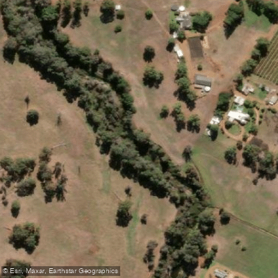
Preston River
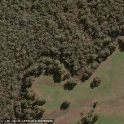
Margaret River
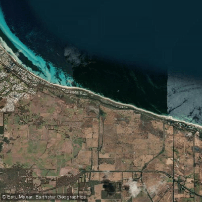
Tobys Inlet
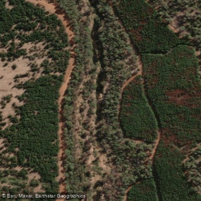
Blackwood River
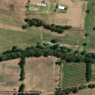
Collie River
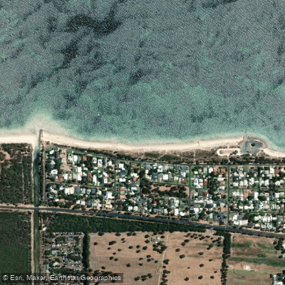
Abbey Beach
Capel River
Donnelly River
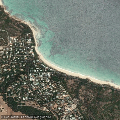
Eagle Bay
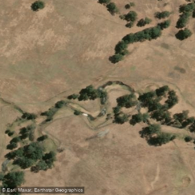
Brunswick River
Explore Western Australia waters
Top paddling waters
No waters available right now.
Popular Cities
Loading popular cities...
Explore near Yeagarup Beach
Access points
Nearby waters
More in Western Australia

Smarter Paddling Starts in the App.
Paddleways gives you everything you need to plan smarter, paddle better, and own every trip from first launch to takeout.