Pembina River
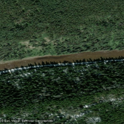
Pembina River
- Boat Ramps
- 0
- Access Points
- 0
- Campsites
- 1
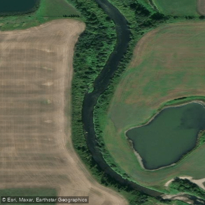
The Pembina River in Alberta flows through central Alberta roughly an hour west of Edmonton via Highway 16 (Yellowhead), making it a practical destination for a day trip or weekend outing. The river winds through a wide valley of mixed grassland and poplar bush, and near Entwistle it cuts through a 62-metre gorge carved during the last ice age — a feature visible from Pembina River Provincial Park, which sits between Entwistle and Evansburg. The overall character is mellow: current averages 2 to 7 km/h depending on recent rainfall, with no significant rapids. The river meanders through outside bends with cutbanks and inside bends with shallow gravel and sand bars.
Several put-in and take-out options exist along the river's length. A commonly used launch is south of Entwistle off Range Road 80, near a signed boat launch. The Pembina River Provincial Park day use area near Entwistle serves as a popular take-out, with free daily parking. Further upstream options include the Cynthia Bridge on AB-621, Easyford Park, and access points near Lodgepole and Drayton Valley. A shorter 16-kilometre section runs from Highway 18 to Township Road 603A, taking roughly four hours for a solo paddler in a canoe. A 36-kilometre run from Reno Road to the provincial park is used by canoe clubs for overnight trips. The two- to three-hour float from south of Entwistle to the provincial park is the most popular short outing.
At lower water levels, particularly during extended dry spells in late summer, shallow stretches can require dragging a canoe; kayaks handle low water better than open canoes. The river does not loop back around Pembina River Provincial Park — paddlers who miss the signed take-out face several hours of additional travel before reaching the next road access at Rangeton Campground. Cell phone connectivity along the river is unreliable.
The paddling season generally runs from spring through summer. Wildlife along the corridor includes deer, waterfowl, beaver, and cliff swallows nesting in cutbanks. All watercraft must carry Transport Canada-required safety equipment: a PFD for each person, a whistle or sound signalling device, a bailer, and a 15-metre throw rope. Some portage routes pass through Indigenous territory, and posted guidelines should be respected. Park permits are required when paddling through provincial or national park waters.
Water access, boat ramps & amenities
Learn how to get on Pembina River. Uncover great paddling access points, boat ramps, and all the facilities you need for an unforgettable day on the water. Some locations shown may border or include private property. Always check property boundaries and applicable regulations before visiting. PaddleWays's Public & Private Land layer can help you plan your access with confidence.
Paddle smarter with real-time insights
Whether you're en route and conditions shift or you're looking for the best spot based on current flows, we enable you to make informed decisions on the fly.







Ab licenses and regulations
No licenses or regulations available for Ab.
Find Places to Paddle

Over 400,000 Places to Paddle
Every user gets free access to launch points, boat ramps, and public property parcels.


Water and weather conditions (10 day forecast)
See the best times to paddle Pembina River and check the forecast before you go.
PEMBINA RIVER BELOW PADDY CREEK
All Flow Stations
Explore Ab waters
Top paddling waters
No waters available right now.
Popular Cities
Loading popular cities...
Explore near Pembina River
Access points
More in Ab

Smarter Paddling Starts in the App.
Paddleways gives you everything you need to plan smarter, paddle better, and own every trip from first launch to takeout.