Pitt Lake

Pitt Lake
- Boat Ramps
- 0
- Access Points
- 0
- Campsites
- 7
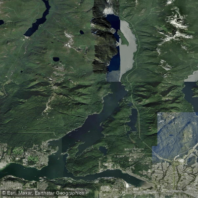
Pitt Lake is one of the largest tidal lakes in the world, located near Pitt Meadows in the Lower Mainland of British Columbia. It is notably the only tidal lake in Western Canada, with water levels fluctuating approximately three feet in response to Fraser River tides. The lake is a fjord lake reaching depths of up to 900 feet, and only its southern end is accessible by road.
The primary access point is Grant Narrows Regional Park at the southern end of the lake, reached via 208th Street. A boat launch is available there, with a $10 fee for power boats and daily parking at $6 (or $18 overnight). Canoe rentals are available on-site from at least two operators, including Xwum, which is owned and operated by the Katzie First Nation. Rental rates for a two-person canoe run approximately $80–$90 per day. Note that at least one rental operator restricts canoes to Widgeon Creek only, prohibiting them from venturing onto Pitt Lake itself due to wind and tidal hazards.
The most popular paddling route begins at Grant Narrows and crosses the southern portion of the lake toward Widgeon Slough, then continues up Widgeon Creek to a backcountry campground and, for those continuing on foot, Widgeon Falls in Pinecone Burke Provincial Park. The full route is approximately 15 kilometers — 10 km by water and 5 km on trail — and typically takes four to six hours. The Widgeon Creek campground has 12 sites, a pit toilet, and a food cache. At the fork in the creek roughly 30 minutes from the lake, paddlers should bear left.
The primary hazard on Pitt Lake itself is wind. Afternoon winds funnel up the fjord and can generate significant waves, typically between noon and 7 p.m. Weather can also change rapidly, with clear skies turning to heavy rain within an hour. Paddlers are strongly advised to wear PFDs. Tides are a secondary concern: at low tide, sections of Widgeon Creek become very shallow, requiring paddlers to wade and pull their boats. Checking tide tables before departure is essential, particularly in late summer when water levels are lowest. When heading up the main lake rather than toward Widgeon Creek, staying to the right side of the channel is recommended, as the north side consists of mud flats.
Wildlife in the area includes blue herons, migratory waterfowl, beavers, osprey, deer, and bears. The lake also supports cutthroat trout fishing, and several salmon species pass through in fall. Petroglyphs estimated to be over 4,000 years old are carved into rocks along the lake's shores. The area falls within Katzie First Nation traditional territory.
Water access, boat ramps & amenities
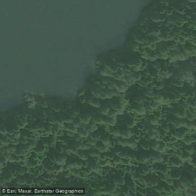
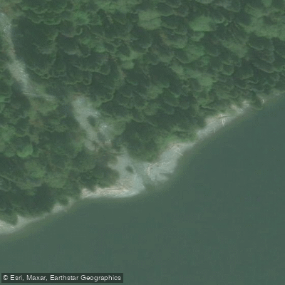
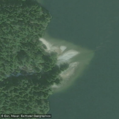
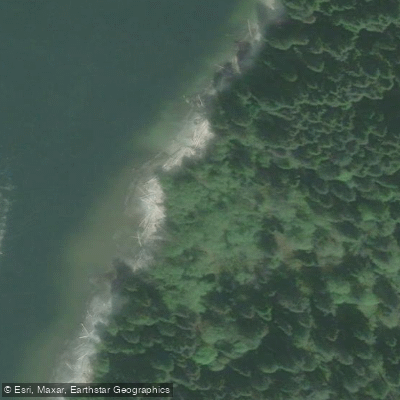
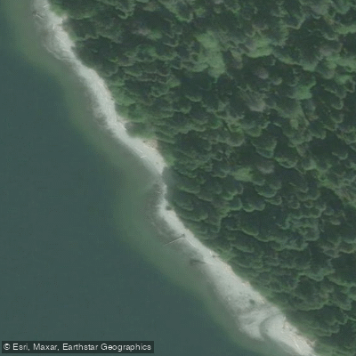
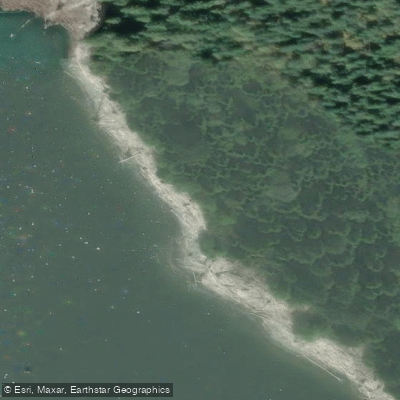
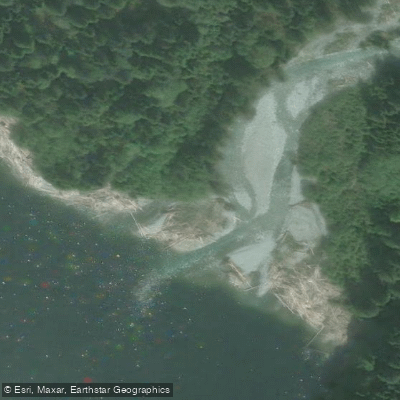
Learn how to get on Pitt Lake. Uncover great paddling access points, boat ramps, and all the facilities you need for an unforgettable day on the water. Some locations shown may border or include private property. Always check property boundaries and applicable regulations before visiting. PaddleWays's Public & Private Land layer can help you plan your access with confidence.
Paddle smarter with real-time insights
Whether you're en route and conditions shift or you're looking for the best spot based on current flows, we enable you to make informed decisions on the fly.







Bc licenses and regulations
No licenses or regulations available for Bc.
Find Places to Paddle

Over 400,000 Places to Paddle
Every user gets free access to launch points, boat ramps, and public property parcels.


Water and weather conditions (10 day forecast)
See the best times to paddle Pitt Lake and check the forecast before you go.
No forecast data available.








Explore Bc waters
Top paddling waters
No waters available right now.
Popular Cities
Loading popular cities...
Explore near Pitt Lake
Access points
Nearby waters
More in Bc

Smarter Paddling Starts in the App.
Paddleways gives you everything you need to plan smarter, paddle better, and own every trip from first launch to takeout.