Rivière Seine
Rivière Seine
- Boat Ramps
- 0
- Access Points
- 0
- Campsites
- 0
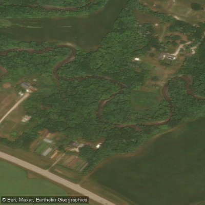
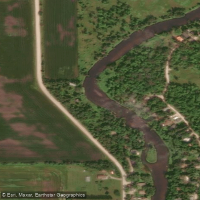
The Seine River (Rivière Seine) in Manitoba flows from the Sandilands Provincial Forest southeast of Steinbach, passing through communities including Marchand, La Broquerie, Ste. Anne, and Lorette before entering Winnipeg, where it winds through St. Vital and St. Boniface and joins the Red River north of The Forks. Within Winnipeg, it is a relatively narrow, shallow, slow-moving river with no motorboat traffic, forested banks, overhanging branches, and marshy stretches. The river twists and turns considerably, and fallen trees regularly block sections of the channel, requiring paddlers to portage, squeeze through gaps, or occasionally step out. A hand saw can be useful. Water levels are a key planning consideration: the river is typically best paddled in spring and early summer, and later in the season it can become too shallow to paddle comfortably except after heavy rainfall.
There are more than 25 put-in locations within Winnipeg city limits. Notable access points include the Seine River Parkway near the intersection of Provencher and Des Meurons in St. Boniface, Lagimodière-Gaboury Park, the end of John Bruce Road in Southdale (which features an accessible dock built into the riverbank, completed in 2020), the Seine River Greenway near Shorehill Drive in Royalwood, Blenheim Avenue at Egerton, and Happyland Park at the end of Prosper Street. Distinguishing public from private access can occasionally be difficult, and paddlers should choose a different location if uncertain.
A popular full-day route puts in on the Seine, follows it downstream to the confluence with the Red River, then continues up the Red to the junction with the Assiniboine and back — a leisurely 12-kilometre roundtrip. Another described route runs from the Perimeter Highway to John Bruce Park. Upstream from Southdale, a 15-kilometre out-and-back to the Shorehill Bridge is also a recognized trip. Near the mouth of the Seine, paddlers pass the ruins of the St. Boniface Cathedral and Louis Riel's grave, as well as the Lagimodière-Gaboury homestead area. The Forks, at the confluence of the Red and Assiniboine rivers, offers amenities and a natural rest stop.
Wildlife along the river includes deer, geese, turtles, and songbirds. A Facebook group called Seine River Paddlers is an active community resource for current conditions, launch information, and trip coordination. Kayak rentals are available through Horned Owl Kayaks in Grande Pointe, Manitoba, which maintains a 7-kilometre course on the river outside city limits.
Water access, boat ramps & amenities
Learn how to get on Rivière Seine. Uncover great paddling access points, boat ramps, and all the facilities you need for an unforgettable day on the water. Some locations shown may border or include private property. Always check property boundaries and applicable regulations before visiting. PaddleWays's Public & Private Land layer can help you plan your access with confidence.
Paddle smarter with real-time insights
Whether you're en route and conditions shift or you're looking for the best spot based on current flows, we enable you to make informed decisions on the fly.







Mb licenses and regulations
No licenses or regulations available for Mb.
Find Places to Paddle

Over 400,000 Places to Paddle
Every user gets free access to launch points, boat ramps, and public property parcels.


Water and weather conditions (10 day forecast)
See the best times to paddle Rivière Seine and check the forecast before you go.
SEINE RIVER NEAR STE. ANNE
All Flow Stations

Explore Mb waters
Top paddling waters
No waters available right now.
Popular Cities
Loading popular cities...
Explore near Rivière Seine

Smarter Paddling Starts in the App.
Paddleways gives you everything you need to plan smarter, paddle better, and own every trip from first launch to takeout.