Cocagne River
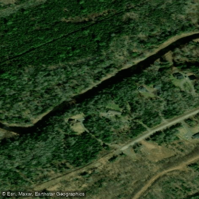
Cocagne River
- Boat Ramps
- 0
- Access Points
- 0
- Campsites
- 0
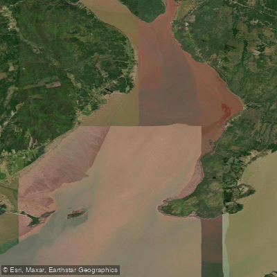
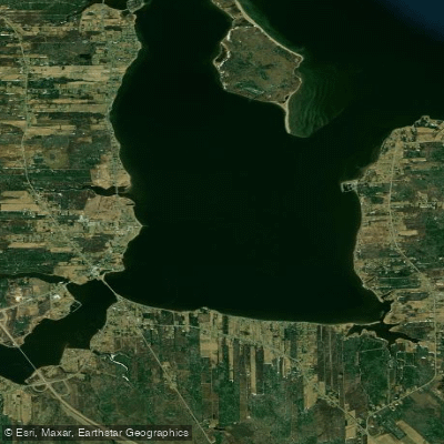
The Cocagne River flows westward into Cocagne Bay in Kent County, New Brunswick, eventually draining into the Northumberland Strait. It is the only tributary of consequence feeding Cocagne Bay, and its lower reaches — roughly four miles up from the bay — are characterized by a fairly deep, well-defined channel that resembles an arm of the bay more than a conventional river. Beyond that point, the river narrows considerably and transitions into what is essentially a large stream.
A highway bridge at Notre Dame marks a notable reference point along the upper navigable section. Water level monitoring for the river is conducted at the Beersville gauge station (01BS001), which can be used to assess conditions before a trip.
Paddlers should be aware of a significant water quality concern: the entire river has been subject to closure for shellfish harvesting due to contamination from domestic pollution. While this restriction applies specifically to shellfish taking rather than paddling, it reflects ongoing water quality issues that paddlers may wish to factor into their planning, particularly regarding contact with the water.
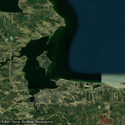
The lower river and Cocagne Bay offer some degree of shelter, with Cocagne Cape and Cocagne Island providing protection to the east. The transition from the tidal, bay-like lower section to the narrower upper reaches gives the river a varied character depending on how far upstream a paddler ventures. Two trip reports are available through Paddling NB for those seeking additional route-specific detail.
Water access, boat ramps & amenities
Learn how to get on Cocagne River. Uncover great paddling access points, boat ramps, and all the facilities you need for an unforgettable day on the water. Some locations shown may border or include private property. Always check property boundaries and applicable regulations before visiting. PaddleWays's Public & Private Land layer can help you plan your access with confidence.
Paddle smarter with real-time insights
Whether you're en route and conditions shift or you're looking for the best spot based on current flows, we enable you to make informed decisions on the fly.







Nb licenses and regulations
No licenses or regulations available for Nb.
Find Places to Paddle

Over 400,000 Places to Paddle
Every user gets free access to launch points, boat ramps, and public property parcels.


Water and weather conditions (10 day forecast)
See the best times to paddle Cocagne River and check the forecast before you go.
No forecast data available.
Paddling near Cocagne River
Explore Nb waters
Top paddling waters
No waters available right now.
Popular Cities
Loading popular cities...
Explore near Cocagne River

Smarter Paddling Starts in the App.
Paddleways gives you everything you need to plan smarter, paddle better, and own every trip from first launch to takeout.