Shepody Bay
- Saltwater
- Bay
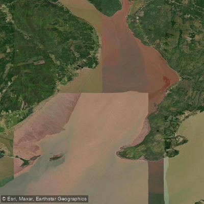
Shepody Bay
- Saltwater
- Bay
- Sq. miles
- 42
- Boat Ramps
- 0
- Access Points
- 0
- Campsites
- 0
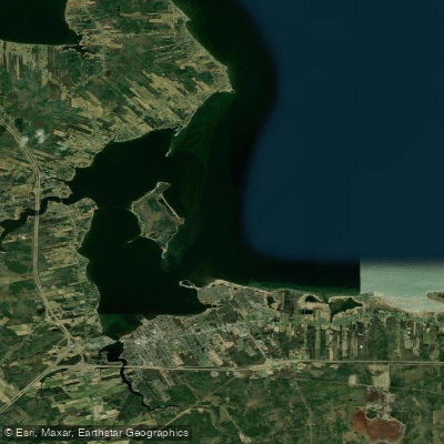
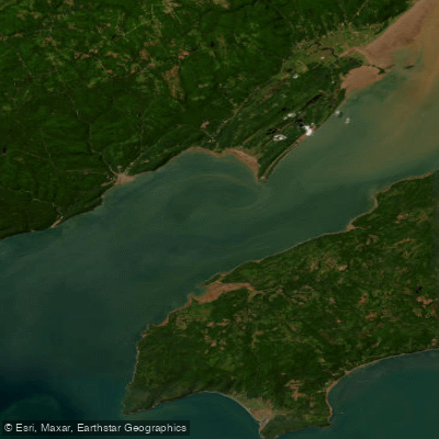
Shepody Bay is a coastal bay within the Bay of Fundy system, forming the southeastern boundary of Albert County, New Brunswick. It is a saltwater feature characterized by extensive mudflats exposed at low tide, as noted at Mary's Point. The bay receives the outflow of the Petitcodiac River, which contributes to its distinctive brown-colored waters. Paddlers primarily access Shepody Bay as part of guided sea kayaking tours originating from Hopewell Rocks Provincial Park. These tours, operated by companies like Baymount Adventures and Fresh Air Adventures, launch from the Hopewell Rocks area and paddle along the coast, eventually exploring the bay. Launching and landing are entirely tide-dependent, utilizing the Bay of Fundy's extreme tidal range, which can exceed 39 feet; kayakers enter their craft on dry land and wait for the rapidly rising tide to float them. The entire paddling experience is governed by the world's highest tides, requiring strict adherence to tour schedules set around the rising tide to navigate among the iconic flowerpot rock formations and coastal caves before they are submerged. The bay and surrounding coast are ecologically significant, hosting massive migrations of shorebirds, particularly semipalmated sandpipers, which feed on the nutrient-rich mudflats in late summer. The landscape features historic Acadian dykes, old-growth forests, and vistas from landmarks like the Cape Enrage lighthouse. The paddling vibe is adventurous and interpretive, focusing on the dramatic tidal ecosystem, geological formations, and wildlife. Guided multi-day excursions are available, combining kayaking with camping. The area is part of the UNESCO Fundy Biosphere Reserve, and operations are seasonal, typically from mid-May to mid-October.
Water access, boat ramps & amenities
Learn how to get on Shepody Bay. Uncover great paddling access points, boat ramps, and all the facilities you need for an unforgettable day on the water. Some locations shown may border or include private property. Always check property boundaries and applicable regulations before visiting. PaddleWays's Public & Private Land layer can help you plan your access with confidence.
Paddle smarter with real-time insights
Whether you're en route and conditions shift or you're looking for the best spot based on current flows, we enable you to make informed decisions on the fly.







Nb licenses and regulations
No licenses or regulations available for Nb.
Find Places to Paddle

Over 400,000 Places to Paddle
Every user gets free access to launch points, boat ramps, and public property parcels.


Tides, wind & water conditions (10 day forecast)
On open water, wind and tide matter as much as the weather. See the best times to paddle Shepody Bay and check the marine forecast before you launch.
Loading tide predictions…
Paddling near Shepody Bay
Explore Nb waters
Top paddling waters
No waters available right now.
Popular Cities
Loading popular cities...
Explore near Shepody Bay

Smarter Paddling Starts in the App.
Paddleways gives you everything you need to plan smarter, paddle better, and own every trip from first launch to takeout.