Kouchibouguac River
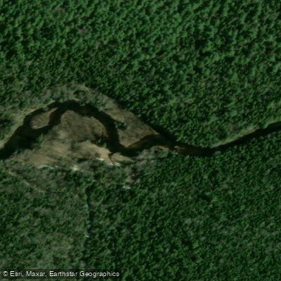
Kouchibouguac River
- Boat Ramps
- 2
- Access Points
- 0
- Campsites
- 1
The Kouchibouguac River flows through Kouchibouguac National Park in eastern New Brunswick, situated along the Gulf of Saint Lawrence. The river is one of eight Class I (flat-water) rivers within the park, making it well-suited for canoes, kayaks, and paddleboards. The waterway passes through an estuary environment characterized by salt marshes, tidal lagoons, and sand dune barriers, with the North Kouchibouguac Dune protecting Kouchibouguac Lagoon from the open waters of the Northumberland Strait.
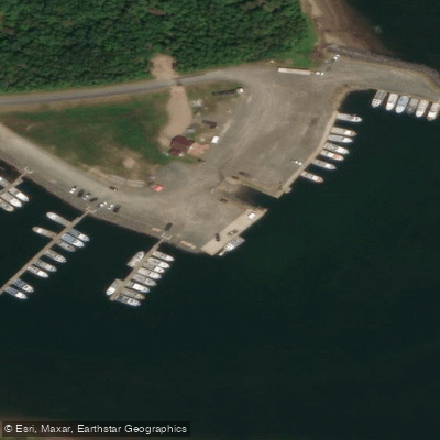
The primary access point is Ryan's Rental Centre, where paddlers can launch from a dock on the river. A 150-metre portage is required from the parking lot to the dock. Canoes, kayaks, paddleboards, and paddleboats are available for rent at Ryan's, typically operating through July and August from 9:00 a.m. to 7:30 p.m. Additional launch sites include Major Kollock parking area, Callanders Beach, and Côte-à-Fabien. A national park pass is required to access the park.
From Ryan's, paddlers can head upstream on the Kouchibouguac River West to find a notable leaning red pine tree growing horizontally out of a sandstone outcropping — a roughly 20-minute paddle from the rental centre. The river also connects to the lagoon system, where routes lead south past the Kellys Beach boardwalk to Major Kollock Creek. The Sipu backcountry campground, located on the south shore of the Kouchibouguac River, is accessible by canoe or kayak from Ryan's (approximately 5.5 km). Well water is available at Sipu but is under a boil water advisory. The Pointe-à-Maxime backcountry campground is accessible from Callanders Beach (approximately 4.4 km) or Cape Saint-Louis Wharf (approximately 2.5 km); paddlers on that route should be mindful of tides, currents, and fishing boat traffic.
Night-time boating on the Kouchibouguac River is permitted only within marked channels. Personal watercraft (jet skis) are prohibited in all park waters. Motorized boats must launch from approved day-use sites at Cap Saint-Louis and Loggiecroft wharves. Overnight anchoring outside authorized wharf limits is also prohibited. Paddlers should respect marked closed and study zones protecting nesting sites and sensitive ecological areas. Planning paddles for early morning or a few hours before sunset is recommended for calmer water conditions.
Water access, boat ramps & amenities
Learn how to get on Kouchibouguac River. Uncover great paddling access points, boat ramps, and all the facilities you need for an unforgettable day on the water. Some locations shown may border or include private property. Always check property boundaries and applicable regulations before visiting. PaddleWays's Public & Private Land layer can help you plan your access with confidence.
Paddle smarter with real-time insights
Whether you're en route and conditions shift or you're looking for the best spot based on current flows, we enable you to make informed decisions on the fly.







Nb licenses and regulations
No licenses or regulations available for Nb.
Find Places to Paddle

Over 400,000 Places to Paddle
Every user gets free access to launch points, boat ramps, and public property parcels.


Water and weather conditions (10 day forecast)
See the best times to paddle Kouchibouguac River and check the forecast before you go.
No forecast data available.
Paddling near Kouchibouguac River
Miramichi River
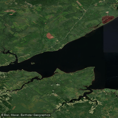
Miramichi River Estuary
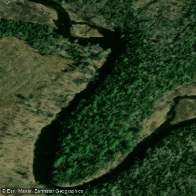
Kouchibouguacis River
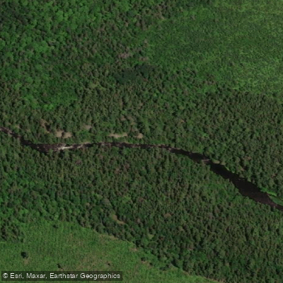
Northwest Miramichi River
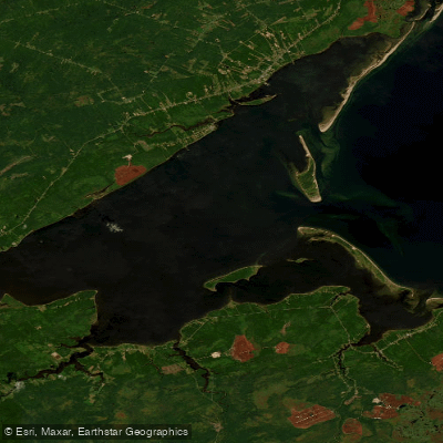
Miramichi Inner Bay / Baie intérieure de Miramichi,
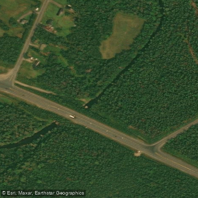
Black River
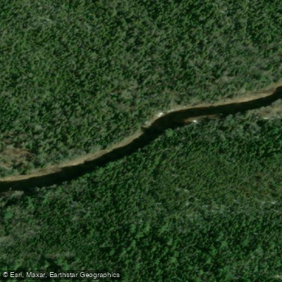
Bay du Vin River
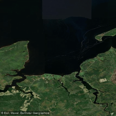
Bay du Vin
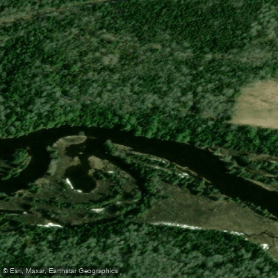
Richibucto River
Explore Nb waters
Top paddling waters
No waters available right now.
Popular Cities
Loading popular cities...
Explore near Kouchibouguac River
Nearby waters
More in Nb

Smarter Paddling Starts in the App.
Paddleways gives you everything you need to plan smarter, paddle better, and own every trip from first launch to takeout.