Kouchibouguacis River
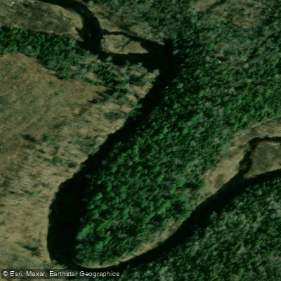
Kouchibouguacis River
- Boat Ramps
- 2
- Access Points
- 0
- Campsites
- 0
The Kouchibouguacis River, whose name translates to "Little Sister of Kouchibouguac," flows through the Maritime Lowlands of northeastern New Brunswick, emptying into the coastal waters of Kouchibouguac National Park on the Northumberland Strait. The park itself encompasses 238 square kilometres of the Maritime Lowlands ecological region, situated roughly 80 kilometres north of Moncton and 50 kilometres southeast of Miramichi. A defining characteristic of this lowland landscape is that tidal influence extends inland for many miles along the rivers, which shapes the paddling experience considerably.
A documented route runs approximately eight kilometres from the town of Saint-Louis-de-Kent downstream to Pointe-à-Maxime, where the river meets the coast. Kayakouch Outdoor Adventure Shop, located on Main Street in Saint-Louis-de-Kent, serves as a practical base and put-in point for this run. The takeout at Pointe-à-Maxime sits at the river's mouth, where Kouchibouguac National Park maintains a primitive campground with several campsites reserved specifically for paddlers. Facilities there include an outhouse, fire pit, and picnic table, though all potable water and supplies must be brought in by boat.
Wind is a notable safety consideration in this coastal environment. Conditions can build quickly — gusts reaching 35 knots have been recorded — and paddlers should monitor weather forecasts carefully before and during any trip. Checking a weather radio regularly is a recommended practice in this area.
The river corridor and adjacent lagoon system offer access to notable wildlife, including common terns and grey seals. The surrounding landscape is a mix of deciduous and boreal coniferous forest typical of the Maritime Lowlands. The broader Kouchibouguac National Park area, which the river flows through, was established as a reserve in 1969 and received official national park status in 1979, meaning paddlers should be aware that national park regulations apply within park boundaries.
Water access, boat ramps & amenities
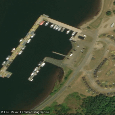
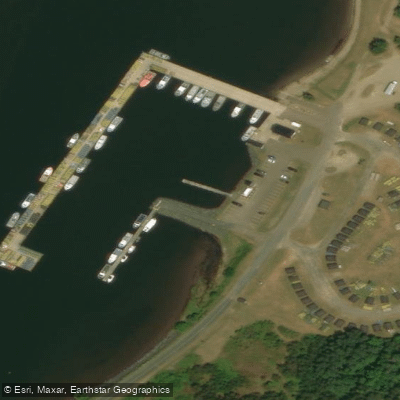
Learn how to get on Kouchibouguacis River. Uncover great paddling access points, boat ramps, and all the facilities you need for an unforgettable day on the water. Some locations shown may border or include private property. Always check property boundaries and applicable regulations before visiting. PaddleWays's Public & Private Land layer can help you plan your access with confidence.
Paddle smarter with real-time insights
Whether you're en route and conditions shift or you're looking for the best spot based on current flows, we enable you to make informed decisions on the fly.







Nb licenses and regulations
No licenses or regulations available for Nb.
Find Places to Paddle

Over 400,000 Places to Paddle
Every user gets free access to launch points, boat ramps, and public property parcels.


Water and weather conditions (10 day forecast)
See the best times to paddle Kouchibouguacis River and check the forecast before you go.
No forecast data available.
Paddling near Kouchibouguacis River
Miramichi River
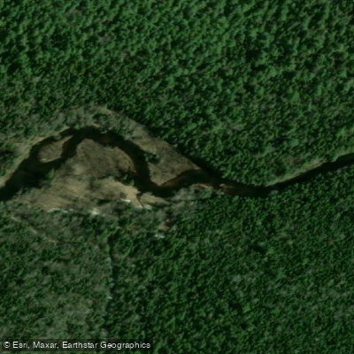
Kouchibouguac River
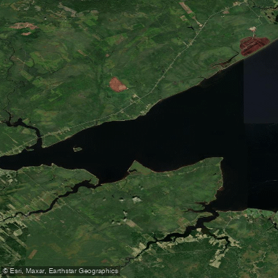
Miramichi River Estuary
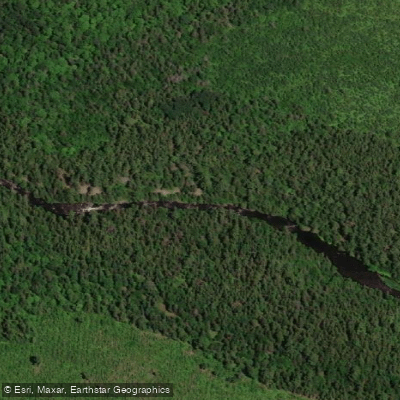
Northwest Miramichi River
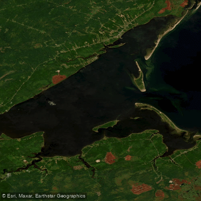
Miramichi Inner Bay / Baie intérieure de Miramichi,
Black River
Bay du Vin River
Bay du Vin
Richibucto River
Explore Nb waters
Top paddling waters
No waters available right now.
Popular Cities
Loading popular cities...
Explore near Kouchibouguacis River

Smarter Paddling Starts in the App.
Paddleways gives you everything you need to plan smarter, paddle better, and own every trip from first launch to takeout.