Petitcodiac River
Petitcodiac River
- Boat Ramps
- 0
- Access Points
- 0
- Campsites
- 0
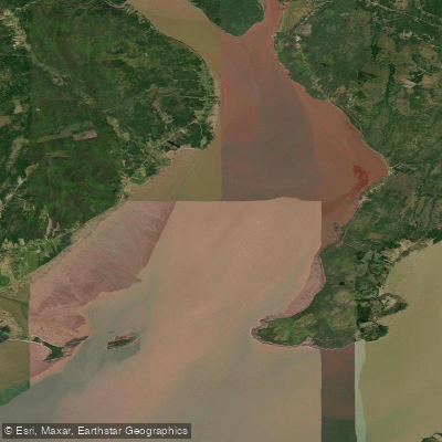
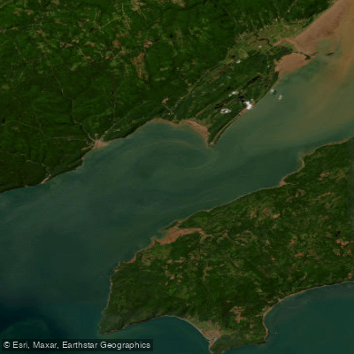
The Petitcodiac River runs through south-eastern New Brunswick, traversing Westmorland, Albert, and Kings counties across a meander length of 79 kilometres. Known locally as the "Chocolate River," the water carries a distinctive brown colour resulting from heavy sedimentation — among the heaviest in North America — giving the river its characteristic appearance. The name itself derives from the Mi'kmaq word Epetkutogoyek, meaning "the river that bends like a bow," a reference to the prominent right-angle bend near Moncton. The watershed covers approximately 2,071 square kilometres of valleys, ridges, and rolling hills.
The most significant safety consideration for paddlers on the Petitcodiac is the tidal bore driven by the Bay of Fundy, which has some of the highest tides in the world. Twice daily, the incoming tide pushes against the river's flow in a visible wave ranging from 3 cm to 75 cm in height, travelling at speeds up to 13 km/hour. At low tide, the muddy river bottom is often exposed, but within an hour of the bore's arrival, water levels rise dramatically to fill the river to its banks. Paddlers must understand the tide cycle thoroughly before launching, as currents reverse and water levels change rapidly. The bore can arrive 15 to 20 minutes before or after predicted times.
One documented access point is at the Hasty Covered Bridge, a historic 1927 structure that provides a launch site with parking. The river can be rocky in some sections. Near Moncton, the causeway area at Riverview has been used by kayakers, and there are boat launch areas near the causeway gate structure and the Riverview Kinsmen Centre.
The river passes through Moncton, where Bore Park off Main Street offers a tidal bore viewing point. Extensive multi-use trails run along the shores of the Petitcodiac connecting Moncton, Dieppe, and Riverview. The river carries historical significance as a centre of shipbuilding activity beginning in the 1840s and supported ferry service as early as 1841.
Water quality has been a concern, with environmental degradation documented by the Petitcodiac Watershed Monitoring Group, and several aquatic species having disappeared from the watershed since the mid-1980s, including the extirpation of the dwarf wedgemussel from Canadian habitat.
Water access, boat ramps & amenities
Learn how to get on Petitcodiac River. Uncover great paddling access points, boat ramps, and all the facilities you need for an unforgettable day on the water. Some locations shown may border or include private property. Always check property boundaries and applicable regulations before visiting. PaddleWays's Public & Private Land layer can help you plan your access with confidence.
Paddle smarter with real-time insights
Whether you're en route and conditions shift or you're looking for the best spot based on current flows, we enable you to make informed decisions on the fly.








Find Places to Paddle

Over 400,000 Places to Paddle
Every user gets free access to launch points, boat ramps, and public property parcels.


Water and weather conditions (10 day forecast)
See the best times to paddle Petitcodiac River and check the forecast before you go.
PETITCODIAC RIVER NEAR PETITCODIAC
Paddling near Petitcodiac River
Explore Ns waters
Top paddling waters
No waters available right now.
Popular Cities
Loading popular cities...
Explore near Petitcodiac River

Smarter Paddling Starts in the App.
Paddleways gives you everything you need to plan smarter, paddle better, and own every trip from first launch to takeout.