Biscay Bay River
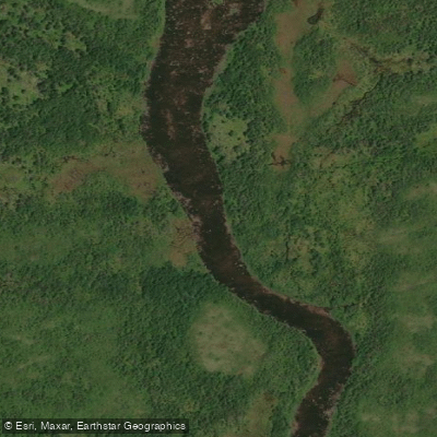
Biscay Bay River
- Boat Ramps
- 0
- Access Points
- 0
- Campsites
- 0
The Biscay Bay River is a stream located on the Avalon Peninsula of Newfoundland and Labrador, flowing into Trepassey Bay. It is one of six scheduled salmon rivers with drainage systems within the Avalon Wilderness Reserve, and also supports runs of seagoing brown trout, smelt, and brook trout, making it a destination primarily associated with angling rather than recreational paddling.
The Biscay Bay Trail, approximately 13 km in length, follows the river from Route 10 — roughly 10 km west of Portugal Cove South, near a Coast Guard communications tower — northward into the reserve, passing through an area known as the Backwaters toward Follies Pond, and continuing along the river to Cooks Pond near Stockes Pond. This trail corridor gives a sense of the river's general course and terrain. The Backwaters section in particular suggests low-lying, wet ground along the river's lower reaches.
Because the river lies within or adjacent to the Avalon Wilderness Reserve, paddlers should be aware that an entry permit is required from the Natural Areas Program, Land Management Division before entering the reserve. ATVs and snowmobiles are prohibited within the reserve. Anglers fishing for salmon also require a valid salmon licence in addition to the entry permit.
General canoe access into the Avalon Wilderness Reserve is noted from locations on Peak Pond Road, off the Salmonier Line (Route 90), though paddlers should consult topographical maps when planning a route. The terrain along the Biscay Bay Trail is wet enough that waterproof footwear is considered essential, which suggests paddlers should anticipate challenging portage conditions if required.
Water access, boat ramps & amenities
Learn how to get on Biscay Bay River. Uncover great paddling access points, boat ramps, and all the facilities you need for an unforgettable day on the water. Some locations shown may border or include private property. Always check property boundaries and applicable regulations before visiting. PaddleWays's Public & Private Land layer can help you plan your access with confidence.
Paddle smarter with real-time insights
Whether you're en route and conditions shift or you're looking for the best spot based on current flows, we enable you to make informed decisions on the fly.







Nl licenses and regulations
No licenses or regulations available for Nl.
Find Places to Paddle

Over 400,000 Places to Paddle
Every user gets free access to launch points, boat ramps, and public property parcels.


Water and weather conditions (10 day forecast)
See the best times to paddle Biscay Bay River and check the forecast before you go.
No forecast data available.
Paddling near Biscay Bay River
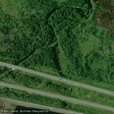
Manuels River
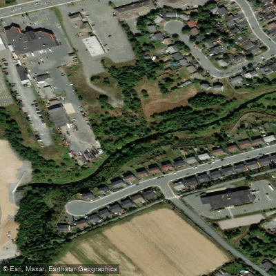
Waterford River
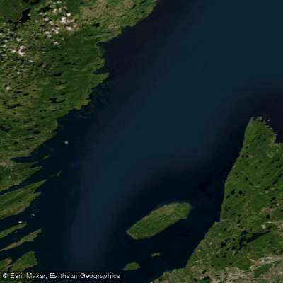
Conception Bay
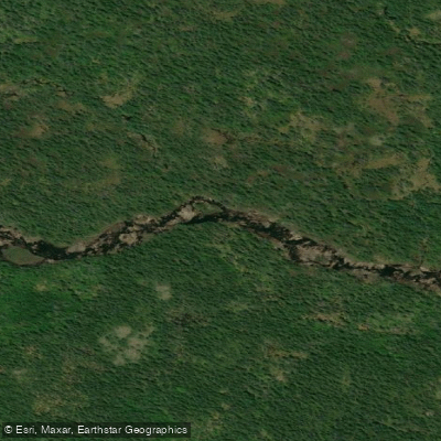
La Manche River
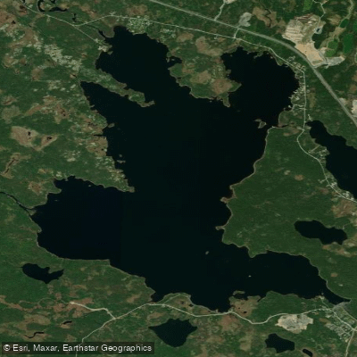
Gull Pond
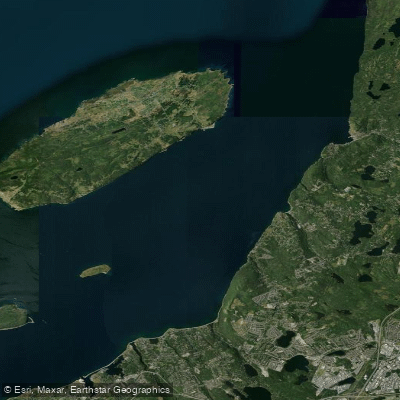
Bell Island Tickle
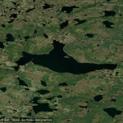
Mobile Big Pond
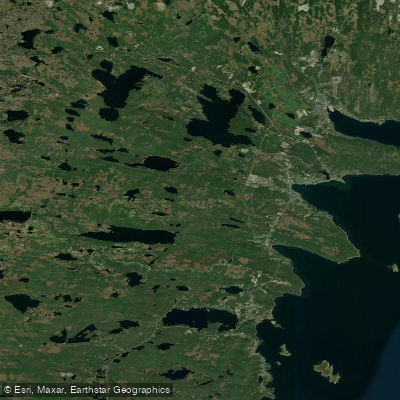
Long Pond
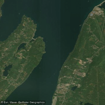
Holyrood Bay
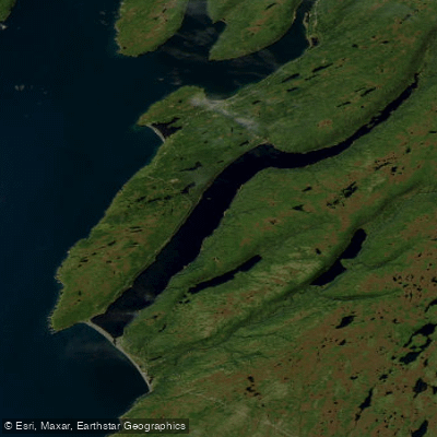
Holyrood Pond
Explore Nl waters
Top paddling waters
No waters available right now.
Popular Cities
Loading popular cities...
Explore near Biscay Bay River

Smarter Paddling Starts in the App.
Paddleways gives you everything you need to plan smarter, paddle better, and own every trip from first launch to takeout.