Caribou Channel
- Saltwater
- Channel
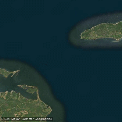
Caribou Channel
- Saltwater
- Channel
- Sq. miles
- 12
- Boat Ramps
- 0
- Access Points
- 0
- Campsites
- 0
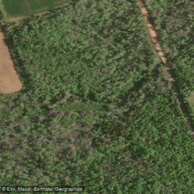
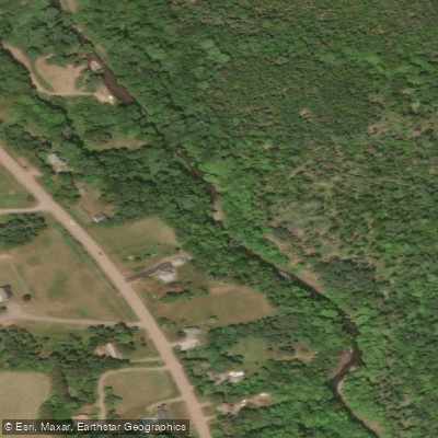
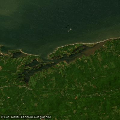
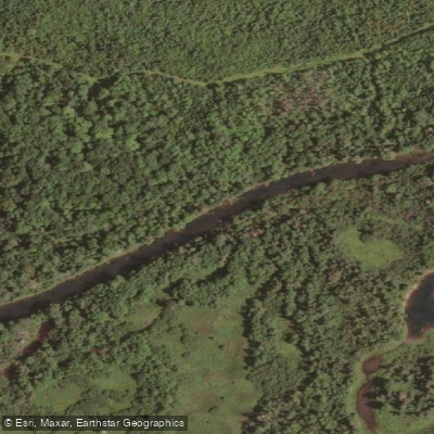
Caribou Channel is a coastal marine channel located in the Northumberland Strait, separating the Nova Scotia mainland from Pictou Island. It lies specifically between the southwestern end of Pictou Banks and the reefs extending from Munroes Island and Caribou Island. The channel is a significant navigational route, historically used by steamers traveling from Pictou Harbour to Charlottetown, Prince Edward Island. For paddlers, this indicates a waterway with potential for commercial and recreational boat traffic that must be anticipated. The channel's proximity to Caribou Harbour suggests a possible access point. The presence of Caribou Lighthouse on Caribou Point, marking the approaches to Caribou Channel, is a notable landmark and potential visual reference for navigation. The area is part of the Northumberland Shore region, associated with the scenic Sunrise Trail. Given its location in the Northumberland Strait, paddlers must plan for significant tidal currents and exposure to open water conditions. The channel's width and the presence of reefs and islands like Caribou Island and Munroes Island create a defined passage, but also introduce navigational hazards that require careful chart reading and respect for weather conditions, particularly wind and wave fetch across the strait.
Water access, boat ramps & amenities
Learn how to get on Caribou Channel. Uncover great paddling access points, boat ramps, and all the facilities you need for an unforgettable day on the water. Some locations shown may border or include private property. Always check property boundaries and applicable regulations before visiting. PaddleWays's Public & Private Land layer can help you plan your access with confidence.
Paddle smarter with real-time insights
Whether you're en route and conditions shift or you're looking for the best spot based on current flows, we enable you to make informed decisions on the fly.








Find Places to Paddle

Over 400,000 Places to Paddle
Every user gets free access to launch points, boat ramps, and public property parcels.


Tides, wind & water conditions (10 day forecast)
On open water, wind and tide matter as much as the weather. See the best times to paddle Caribou Channel and check the marine forecast before you launch.
Loading tide predictions…
Paddling near Caribou Channel
Explore Ns waters
Top paddling waters
No waters available right now.
Popular Cities
Loading popular cities...
Explore near Caribou Channel

Smarter Paddling Starts in the App.
Paddleways gives you everything you need to plan smarter, paddle better, and own every trip from first launch to takeout.