Salmon River
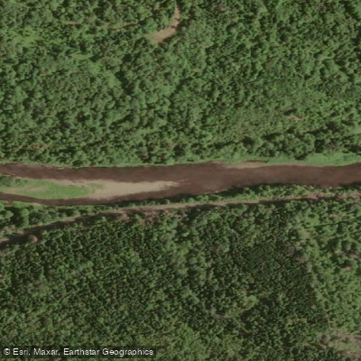
Salmon River
- Boat Ramps
- 0
- Access Points
- 0
- Campsites
- 0
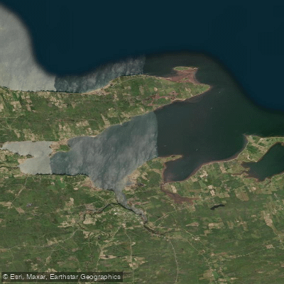
The Salmon River near Truro, Nova Scotia is a Class I-II+ whitewater river suited to beginner and intermediate paddlers. It is a quick-rising and quick-dropping river, meaning water levels can change rapidly. Paddlers can configure runs of varying lengths — approximately 1, 3, or 10 kilometres — by selecting different put-in and take-out combinations. One access point is the bridge on Valleydale Road, where a visual river gauge is located under the bridge to help assess water levels before launching.
The river features several named play spots, including Corner Wave, Train Wave, Brass Monkey's Ghost, and Malley's Wave. Blackrock Rapids, accessible via an ATV trail on river left from the medium put-in, offers waves and holes at higher water levels, with some eddy access. The river can be shallow at certain points, which is worth noting if a paddler flips, as there is a risk of scraping the bottom. Attaining upstream can also be difficult in low water. Wood hazards exist at the outer edges of some corners but generally do not extend far into the channel even at high water. Once the river enters the town of Truro, paddlers should be alert to garbage in the water, which can create strainer hazards.
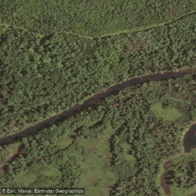
The Salmon River also passes through the Waverley-Salmon River Long Lake Wilderness Area, where a network of lake-to-lake canoe routes with portages provides access to wilderness camping, angling, and multi-day tripping. A canoe route map of this wilderness area has been produced by a local paddler and is available as a PDF. These routes are not managed. The wilderness area encompasses portions of the Lake Major Watershed Protected Water Area, where activities including swimming, fishing, and fires are regulated. Paddlers planning trips into this area should be aware that cell coverage is limited.
Water access, boat ramps & amenities
Learn how to get on Salmon River. Uncover great paddling access points, boat ramps, and all the facilities you need for an unforgettable day on the water. Some locations shown may border or include private property. Always check property boundaries and applicable regulations before visiting. PaddleWays's Public & Private Land layer can help you plan your access with confidence.
Paddle smarter with real-time insights
Whether you're en route and conditions shift or you're looking for the best spot based on current flows, we enable you to make informed decisions on the fly.








Find Places to Paddle

Over 400,000 Places to Paddle
Every user gets free access to launch points, boat ramps, and public property parcels.


Water and weather conditions (10 day forecast)
See the best times to paddle Salmon River and check the forecast before you go.
SALMON RIVER AT MURRAY
Paddling near Salmon River
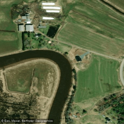
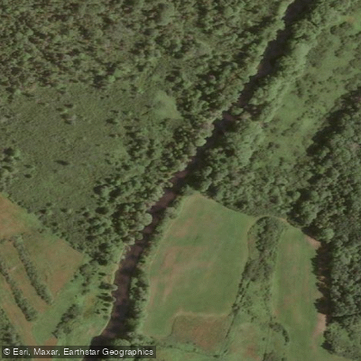
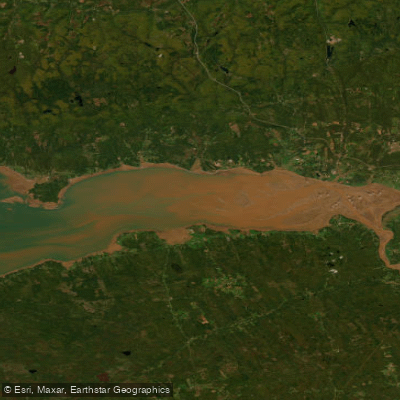
Explore Ns waters
Top paddling waters
No waters available right now.
Popular Cities
Loading popular cities...
Explore near Salmon River

Smarter Paddling Starts in the App.
Paddleways gives you everything you need to plan smarter, paddle better, and own every trip from first launch to takeout.