Stewiacke River
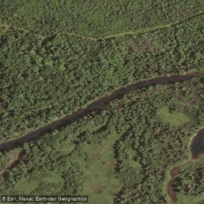
Stewiacke River
- Boat Ramps
- 0
- Access Points
- 0
- Campsites
- 0
The Stewiacke River originates at Round Lake in Pictou County and flows southward through Colchester County before joining the Shubenacadie River near the town of Stewiacke. The lower reaches of the river are tidal, influenced by the Bay of Fundy. The primary paddling route runs approximately 46 kilometres downstream from Upper Stewiacke West to Stewiacke East, typically completed over two days. A shorter single-day run of roughly 35 kilometres begins at Reynolds Bridge Pool on Ridge Road in Upper Stewiacke and ends at Stewiacke River Park in East Stewiacke, which takes approximately 8 to 12 hours to complete.
The river features 24 locations with small sections of whitewater and riffles rated Class I to Class II, separated by long stretches of slow-moving water. No portages are required along the main route. Four road bridges cross the river at intervals — including crossings at Cloverdale Road and Brenton Cross Road — providing options for shorter day trips or emergency takeout. The route is considered suitable for beginner to intermediate paddlers comfortable with basic moving-water skills, though the full-day run is long and demands appropriate stamina.
Late spring and early fall generally offer the best paddling conditions. Summer months can bring insufficient water levels, making the route difficult or impassable in places. Late fall and early spring can produce extreme water level fluctuations. Cell phone coverage is unreliable along the entire route. Most riverbank property is privately owned, and permission must be obtained before camping along the banks.
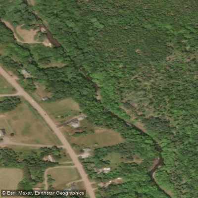
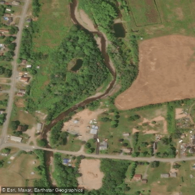
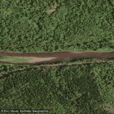
The surrounding landscape alternates between agricultural fields and mixed forest, with the valley terrain generally not exceeding 150 metres above sea level. Bald eagles are commonly sighted along the river, and wildlife including deer and aquatic mammals is abundant, making it a good area for birdwatching.
Stewiacke River Park, located near the takeout at Stewiacke East, offers a boat ramp, free parking, picnic shelters, picnic tables, and washrooms. The park sits within a forested setting of mature pine, hemlock, and spruce. The river is also used for fishing, and paddlers should check current regulations regarding gear, tackle, accessible river sections, and obtainable species throughout the fishing season.
Water access, boat ramps & amenities
Learn how to get on Stewiacke River. Uncover great paddling access points, boat ramps, and all the facilities you need for an unforgettable day on the water. Some locations shown may border or include private property. Always check property boundaries and applicable regulations before visiting. PaddleWays's Public & Private Land layer can help you plan your access with confidence.
Paddle smarter with real-time insights
Whether you're en route and conditions shift or you're looking for the best spot based on current flows, we enable you to make informed decisions on the fly.








Find Places to Paddle

Over 400,000 Places to Paddle
Every user gets free access to launch points, boat ramps, and public property parcels.


Water and weather conditions (10 day forecast)
See the best times to paddle Stewiacke River and check the forecast before you go.
No forecast data available.
Paddling near Stewiacke River
Explore Ns waters
Top paddling waters
No waters available right now.
Popular Cities
Loading popular cities...
Explore near Stewiacke River

Smarter Paddling Starts in the App.
Paddleways gives you everything you need to plan smarter, paddle better, and own every trip from first launch to takeout.