St. Marys River
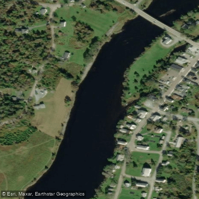
St. Marys River
- Boat Ramps
- 2
- Access Points
- 2
- Campsites
- 0
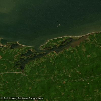
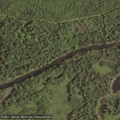
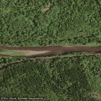
The St. Marys River is one of Nova Scotia's longest river systems, draining approximately 1,350 square kilometres across Guysborough, Antigonish, Pictou, and Colchester counties. The river has four branches — East, West, Main, and one additional — that converge near the community of Glenelg before flowing to the Atlantic Ocean. Sport Nova Scotia has recognized it as one of Canada's top canoeing rivers. The surrounding landscape supports old-growth hemlock, Acadian floodplain forest, and mixed hardwood, and the area is remote enough that clear, star-filled night skies are a notable feature of overnight trips.
The river is rated intermediate overall. The upper and middle sections are manageable for paddlers with basic moving-water experience, while stronger rapids near Sherbrooke require the ability to read current, execute ferry moves, and handle standing waves. Paddlers should expect a mix of slow shallows, fast-moving narrows, and submerged rocks. Water levels can drop significantly during summer, and shallow gravel stretches may become difficult or require dragging a canoe in dry conditions. The St. Mary's River Association provides live water level readings from data loggers on the West Branch, recommending a minimum of 2.5 feet for West Branch paddling. The river responds to rainfall within roughly 24 hours, rising for approximately that period before beginning to fall again.
The primary long-distance route runs 57 kilometres from a put-in at the bridge in Caledonia on the East Branch downstream to Sherbrooke Village, typically completed over two days with no portages required. An alternative paddling trail of roughly 20 kilometres covers the East Branch and Main Branch, with six marked access points featuring informational signs, QR codes linking to local history and angling information, and "You Are Here" maps. A further put-in option exists as far upstream as Trafalgar, which adds a section with a couple of ledges, several riffles and rips, and at least one Class II rapid. Some access points cross private land, and permission from landowners may be required. Paddlers should also be aware of a possible headwind on the lake and stillwater sections of the East Branch and Main Branch route.
The river provides critical habitat for Atlantic salmon, including the Nova Scotia Southern Upland population assessed as endangered, as well as the wood turtle, which is nationally listed as threatened.
Water access, boat ramps & amenities
Learn how to get on St. Marys River. Uncover great paddling access points, boat ramps, and all the facilities you need for an unforgettable day on the water. Some locations shown may border or include private property. Always check property boundaries and applicable regulations before visiting. PaddleWays's Public & Private Land layer can help you plan your access with confidence.
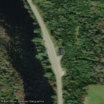
Paddle smarter with real-time insights
Whether you're en route and conditions shift or you're looking for the best spot based on current flows, we enable you to make informed decisions on the fly.








Find Places to Paddle

Over 400,000 Places to Paddle
Every user gets free access to launch points, boat ramps, and public property parcels.


Water and weather conditions (10 day forecast)
See the best times to paddle St. Marys River and check the forecast before you go.
ST. MARYS RIVER AT STILLWATER
Paddling near St. Marys River
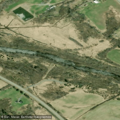
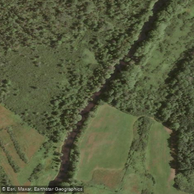
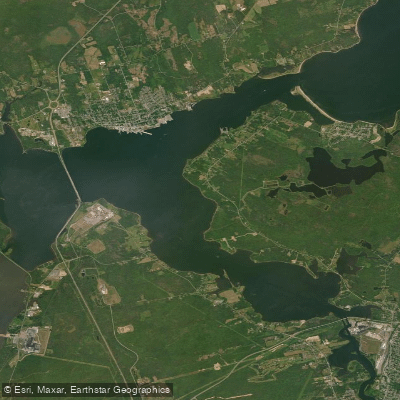
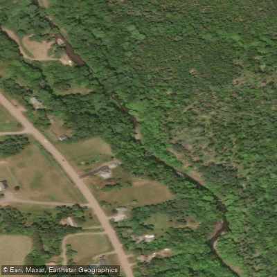
Explore Ns waters
Top paddling waters
No waters available right now.
Popular Cities
Loading popular cities...
Explore near St. Marys River

Smarter Paddling Starts in the App.
Paddleways gives you everything you need to plan smarter, paddle better, and own every trip from first launch to takeout.