Grand River
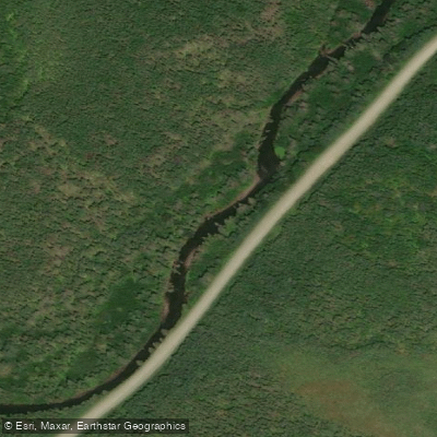
Grand River
- Boat Ramps
- 0
- Access Points
- 0
- Campsites
- 0
The Grand River route in Nova Scotia covers 33 kilometres across southeastern Cape Breton Island, traversing a chain of lakes before descending through a scenic river corridor to the Atlantic coast. The trip is typically completed over two days and is rated for beginners, though paddlers should have basic moving-water skills and reasonable fitness to handle the fast-water sections and the portage at Grand River Falls.
The put-in is at the bridge on Salem Lake, near the community of Lake Uist in Richmond County. From there, the route passes through Lake Uist, then a 400-metre portage leads to the river channel connecting through The Passage into Loch Lomond, a broad freshwater lake roughly six kilometres long and three kilometres wide. The take-out is at the bridge in the village of Grand River, where the Fleur-de-Lis Trail crosses the river. Several intermediate access points are available along the route. The full route is covered by NTS topographic maps 11 F/15 (Grand Narrows) and 11 F/10 (St. Peters).
There are three portages in total. The most significant hazard is Grand River Falls, which requires a portage. Below the falls, the river flows through quiet back-country terrain before widening considerably near the village. The river mouth at the Atlantic is nearly blocked by a sand bar, with only a narrow channel on the western side.
The surrounding landscape carries strong Scottish cultural heritage. The Gaelic-inspired place names — Lake Uist, Loch Lomond — reflect the history of settlers from the islands of Harris and Uist who arrived in the area in 1828. The Grand River is a noted salmon stream, and anglers may also encounter brown trout and brook trout in these waters, which is worth keeping in mind when planning timing around fishing activity.
Water access, boat ramps & amenities
Learn how to get on Grand River. Uncover great paddling access points, boat ramps, and all the facilities you need for an unforgettable day on the water. Some locations shown may border or include private property. Always check property boundaries and applicable regulations before visiting. PaddleWays's Public & Private Land layer can help you plan your access with confidence.
Paddle smarter with real-time insights
Whether you're en route and conditions shift or you're looking for the best spot based on current flows, we enable you to make informed decisions on the fly.








Find Places to Paddle

Over 400,000 Places to Paddle
Every user gets free access to launch points, boat ramps, and public property parcels.


Water and weather conditions (10 day forecast)
See the best times to paddle Grand River and check the forecast before you go.
No forecast data available.
Paddling near Grand River
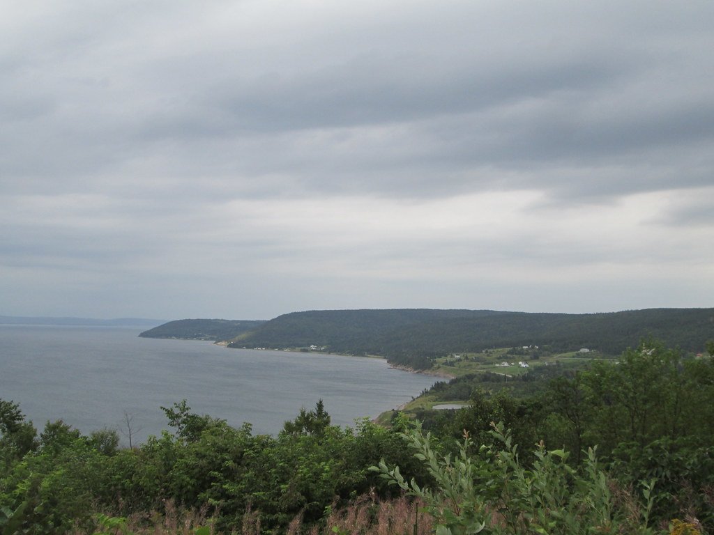
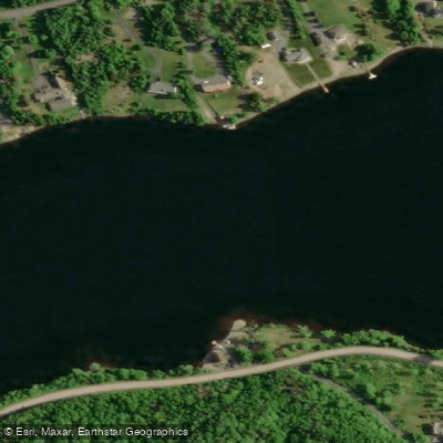
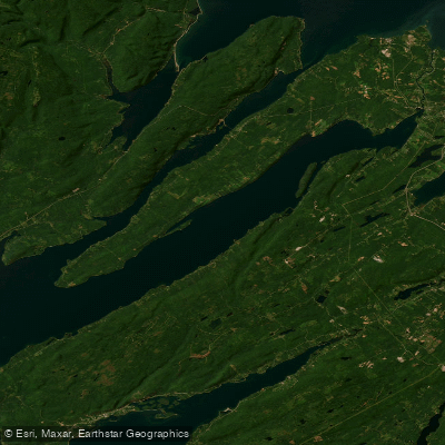
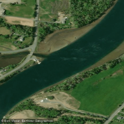
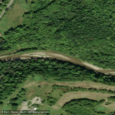
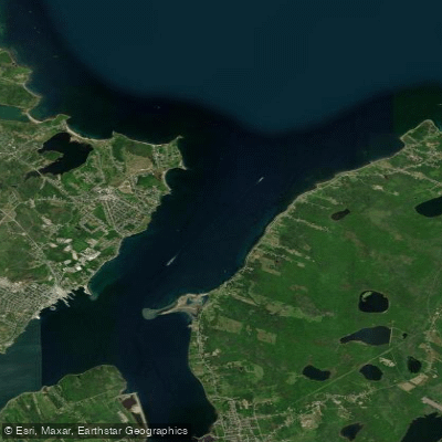
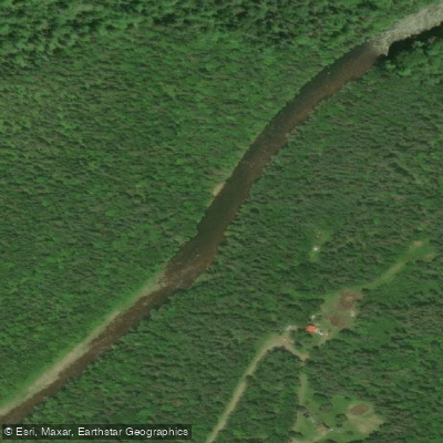
Explore Ns waters
Top paddling waters
No waters available right now.
Popular Cities
Loading popular cities...
Explore near Grand River

Smarter Paddling Starts in the App.
Paddleways gives you everything you need to plan smarter, paddle better, and own every trip from first launch to takeout.