Jock River
Jock River
- Boat Ramps
- 1
- Access Points
- 0
- Campsites
- 0
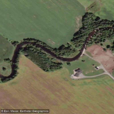
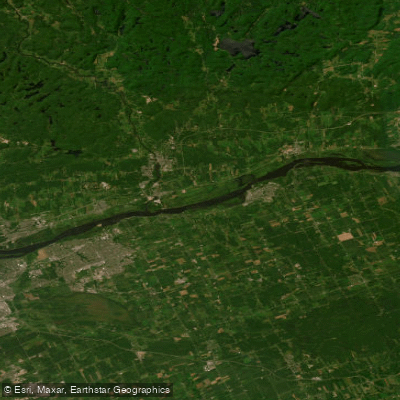
The Jock River flows through the Ottawa region of Ontario, originating west of the city and joining the Rideau Canal near its mouth. The river offers a range of paddling experiences depending on which section is chosen, from flatwater stretches suitable for recreational paddlers to a short whitewater section in the upper reaches.
The upper whitewater section features five to six sets of Class 2 rapids and is best run as an early spring runoff trip, ending at Jock River Landing. This section is short and suited to paddlers comfortable with moving water. The Beckwith Township section, running approximately 6.5 km from the bridge on the 9th Line of Beckwith to Ashton Park, is a popular flatwater route typically taking two to three hours depending on water levels and skill level.
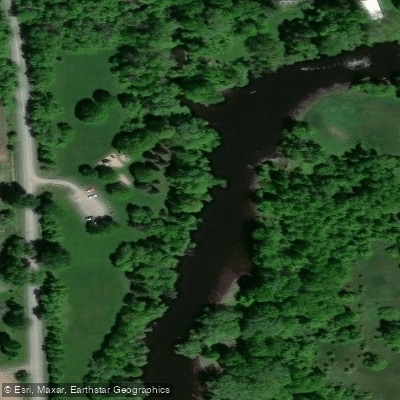
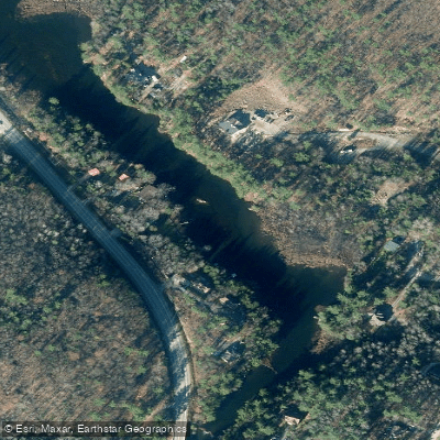
Further downstream, the stretch between Terry Carisse Park off Steeple Hill Crescent and the Richmond Conservation Area off McBean Street is a well-used flatwater route. Terry Carisse Park offers free parking and a wooden dock installed in late spring; when the dock is absent, a path from the northeast corner of the playground leads to the river's edge. Paddlers should note a stone barrier approximately 150 metres downstream from the dock that cannot be paddled over except during unusually high spring water. Upstream from Terry Carisse Park, paddlers can travel to Richmond and back, a round trip of roughly 16 km. The water along this stretch is fairly opaque with little current, and the tree-lined banks provide shelter from wind, though not from sun. Poison ivy has been reported near the dock at Terry Carisse Park.
The Richmond Conservation Area on Royal York Street provides a dock for canoe launches and fishing access. Jock River Landing, located off Lodge Road near the intersection with County Road 73 (Prince of Wales Drive), serves as a convenient put-in and take-out at the river's mouth.
Importantly, the lower Jock River, near its confluence with the Rideau Canal, is not recommended for paddlers. This section can have rough water in spring, and a weir in that area creates dangerous undertows.
Wildlife sightings along the river have included river otters. The banks are generally tree-lined, providing a relatively natural corridor. Spring is the primary season for the whitewater section, while the flatwater stretches can be paddled throughout the warmer months.
Water access, boat ramps & amenities
Learn how to get on Jock River. Uncover great paddling access points, boat ramps, and all the facilities you need for an unforgettable day on the water. Some locations shown may border or include private property. Always check property boundaries and applicable regulations before visiting. PaddleWays's Public & Private Land layer can help you plan your access with confidence.
Paddle smarter with real-time insights
Whether you're en route and conditions shift or you're looking for the best spot based on current flows, we enable you to make informed decisions on the fly.








Find Places to Paddle

Over 400,000 Places to Paddle
Every user gets free access to launch points, boat ramps, and public property parcels.


Water and weather conditions (10 day forecast)
See the best times to paddle Jock River and check the forecast before you go.
JOCK RIVER NEAR RICHMOND
Paddling near Jock River

Explore On waters
Top paddling waters
No waters available right now.
Popular Cities
Loading popular cities...
Explore near Jock River

Smarter Paddling Starts in the App.
Paddleways gives you everything you need to plan smarter, paddle better, and own every trip from first launch to takeout.