Rivière du Lièvre
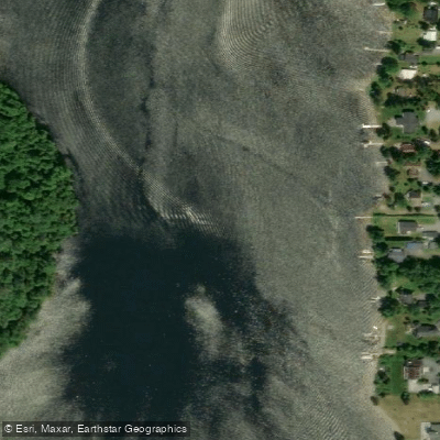
Rivière du Lièvre
- Boat Ramps
- 0
- Access Points
- 0
- Campsites
- 5
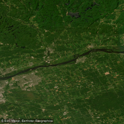
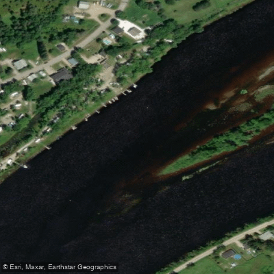
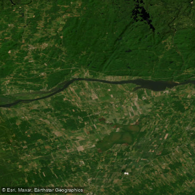
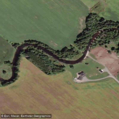
The Rivière du Lièvre (known in Algonquin as Okai Sipi, meaning "Hare River") is a major tributary of the Ottawa River in Quebec, flowing roughly north to south along approximately longitude -75.5 for a total length of 330 kilometres. Its drainage basin covers 9,542 km², and it originates at Lac Orthès before passing through communities including Ferme-Neuve, Mont-Laurier, Notre-Dame-de-Pontmain, Notre-Dame-du-Laus, Val-des-Bois, Notre-Dame-de-la-Salette, L'Ange-Gardien, and Gatineau, where it meets the Ottawa River. The river spans both the Laurentides and Outaouais administrative regions.
The upper stretches of the river are characterized by clear water and a relatively gentle current, making them well suited to day trips and shorter excursions. The lower sections, as the river approaches its confluence with the Ottawa, become broader and more dynamic, with a mix of calm stretches and mild rapids. A notable whitewater section exists within the territory of ZEC Normandie, where multi-day canoe trips are possible; this area has historically been used for six-day expeditions covering roughly 68 kilometres of river. Paddlers planning trips in the ZEC Normandie area should contact the ZEC directly, as access fees and permits apply.
At the downstream end of the river in Gatineau, the Centre Nautique de la Lièvre operates at 255 Avenue de Buckingham and provides access to approximately 18 kilometres of navigable flat water. The centre offers rentals of kayaks, canoes, paddleboards, and pedal boats, along with introductory courses and paddleboard yoga. It typically operates from late June through early September. Facilities on site include a welcome pavilion, picnic tables, potable water, and washrooms.
In Val-des-Bois, there is a boat launch with parking that provides easy river access, primarily used by anglers targeting northern pike and walleye. The river falls under fishing Zone 10 for regulatory purposes, with some tributary sections subject to Zone 29 rules; paddlers who fish should verify current regulations with Quebec's wildlife authority before their trip.
Water access, boat ramps & amenities
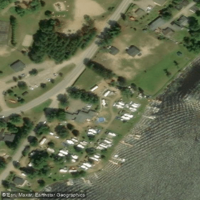
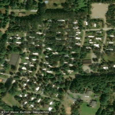
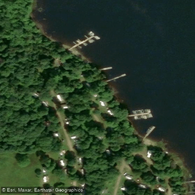
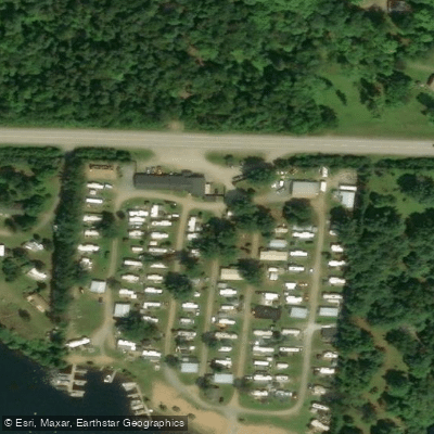
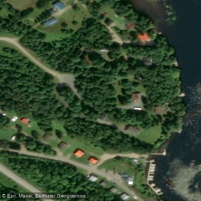
Learn how to get on Rivière du Lièvre. Uncover great paddling access points, boat ramps, and all the facilities you need for an unforgettable day on the water. Some locations shown may border or include private property. Always check property boundaries and applicable regulations before visiting. PaddleWays's Public & Private Land layer can help you plan your access with confidence.
Paddle smarter with real-time insights
Whether you're en route and conditions shift or you're looking for the best spot based on current flows, we enable you to make informed decisions on the fly.







Qc licenses and regulations
No licenses or regulations available for Qc.
Find Places to Paddle

Over 400,000 Places to Paddle
Every user gets free access to launch points, boat ramps, and public property parcels.


Water and weather conditions (10 day forecast)
See the best times to paddle Rivière du Lièvre and check the forecast before you go.
LIEVRE (RIVIERE DU) A 2,2 KM EN AMONT DU PONT-ROUTE 311 A LAC-SAINT-PAUL
All Flow Stations
Paddling near Rivière du Lièvre

Explore Qc waters
Top paddling waters
No waters available right now.
Popular Cities
Loading popular cities...
Explore near Rivière du Lièvre

Smarter Paddling Starts in the App.
Paddleways gives you everything you need to plan smarter, paddle better, and own every trip from first launch to takeout.