Mississippi River
Mississippi River
- Boat Ramps
- 7
- Access Points
- 0
- Campsites
- 6
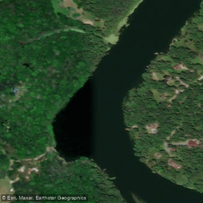
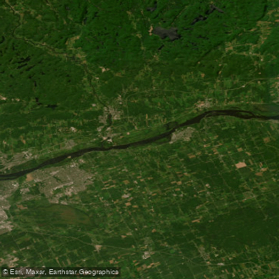
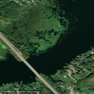
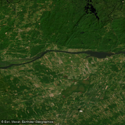
Ontario's Mississippi River is a substantial waterway running approximately 200 kilometres from Mazinaw Lake at Bon Echo Provincial Park down to the Ottawa River at Galetta, dropping 827 feet over its course and drawing on 260 lakes and tributary systems including the Indian, Clyde, Fall, Buckshot, Antoine, and Cranberry rivers and creeks. The river passes through a varied landscape of forested banks, lowland swamp, rolling farmland, and historic mill towns, making it one of the more historically significant paddling routes in eastern Ontario — it was the first canoe route promoted in Canada's Book of Recreational Canoe Routes in 1910.
A popular 100 km section runs from Dalhousie Lake in Lanark County downstream through Carleton Place, Appleton, Almonte, and Pakenham to Galetta. The put-in for this stretch is at Centennial Park on Lavant Mill Road, roughly 6 km northwest of County Road 12 near McDonalds Corners, where a public boat launch and parking are available. The route is rated intermediate overall, with moderate river travel and portaging. Beginners comfortable with lining and basic moving water can manage the river, though Mississippi Lake warrants caution on windy days. Four days is a reasonable pace for the 100 km section, allowing time to explore the towns along the way.
Several dams require portages along the route. At Appleton, a 400-metre portage goes around the dam on a straightforward carry. The towns of Carleton Place, Appleton, Almonte, and Pakenham provide resupply points and services throughout. In Carleton Place, a public boat launch is located at the west end of Lake Avenue, and there is a small dock at Centennial Park for canoe and kayak use.
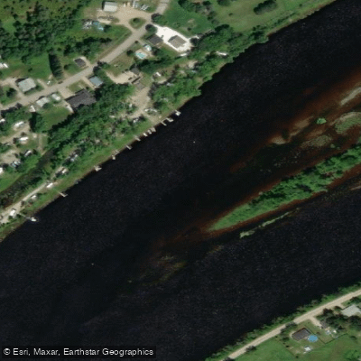
The river corridor passes through settled countryside with cottages lining much of the shoreline, so this is not a wilderness experience. What it offers instead is accessible paddling with considerable historical character, shaped by two centuries of mill industry — ruins of the original Appleton Woollen Mill still stand on an island in the river. Wildlife along the route includes herons, river otters, and a variety of water and shore birds, particularly in the wetland sections. Spring flooding produces strong currents and some launch sites are not advisable during that period. The section around Pakenham includes rapids under the bridge near the launch site that paddlers should avoid.
Water access, boat ramps & amenities
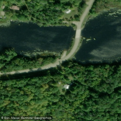
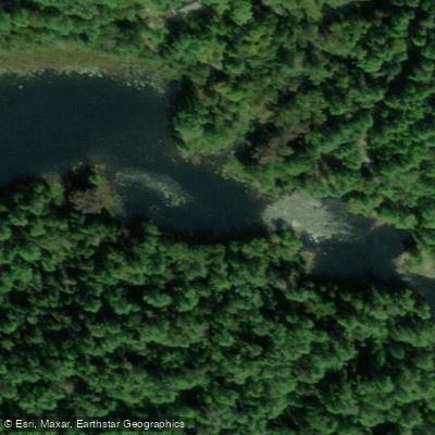
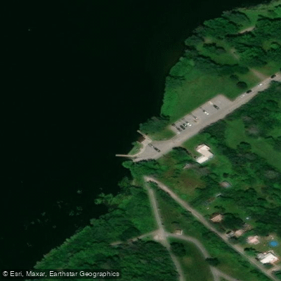
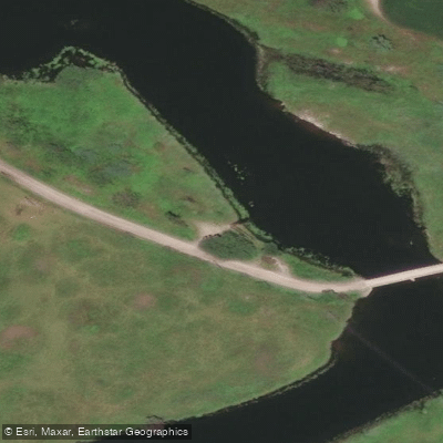
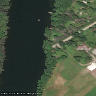
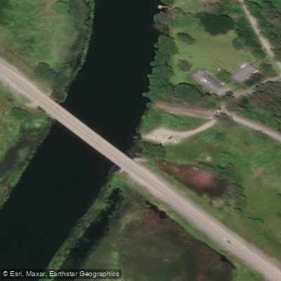
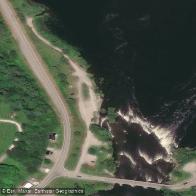
Learn how to get on Mississippi River. Uncover great paddling access points, boat ramps, and all the facilities you need for an unforgettable day on the water. Some locations shown may border or include private property. Always check property boundaries and applicable regulations before visiting. PaddleWays's Public & Private Land layer can help you plan your access with confidence.
Paddle smarter with real-time insights
Whether you're en route and conditions shift or you're looking for the best spot based on current flows, we enable you to make informed decisions on the fly.








Find Places to Paddle

Over 400,000 Places to Paddle
Every user gets free access to launch points, boat ramps, and public property parcels.


Water and weather conditions (10 day forecast)
See the best times to paddle Mississippi River and check the forecast before you go.
MISSISSIPPI RIVER AT FERGUSONS FALLS
All Flow Stations
Paddling near Mississippi River

Explore On waters
Top paddling waters
No waters available right now.
Popular Cities
Loading popular cities...
Explore near Mississippi River
Access points
Nearby waters
More in On

Smarter Paddling Starts in the App.
Paddleways gives you everything you need to plan smarter, paddle better, and own every trip from first launch to takeout.