Rideau River
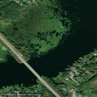
Rideau River
- Boat Ramps
- 17
- Access Points
- 0
- Campsites
- 2
The Rideau Canal is a 202-kilometre waterway connecting Ottawa to Kingston in eastern Ontario, comprising a mix of natural rivers, lakes, wetlands, and approximately 19 kilometres of man-made canal cuts. Designated a UNESCO World Heritage Site and a National Historic Site of Canada, the system encompasses 47 locks across 24 lockstations and spans two watersheds: the Rideau and the Cataraqui. The waterway is essentially flatwater paddling throughout, making it accessible to paddlers of all skill levels from novice to expert.
The locks are operated by Parks Canada from mid-May to mid-October. Canoes and kayaks are permitted to lock through at no extra charge beyond the required fee permit, or paddlers may portage around locks for free. Parks Canada has installed dedicated paddling docks and signage at most lockstations to indicate put-in and take-out points. All lockstations except Ottawa and Smiths Falls Combined offer camping areas for boaters, with fees applicable. A few locations also offer oTENTik canvas A-frame cabins.
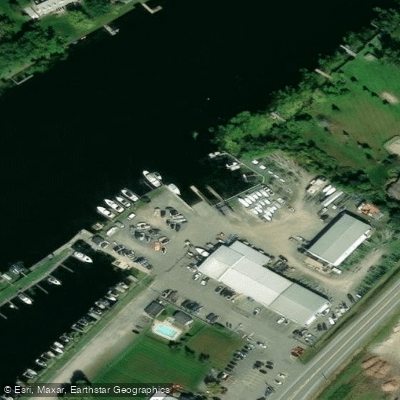
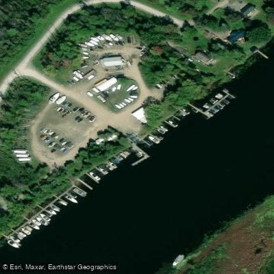
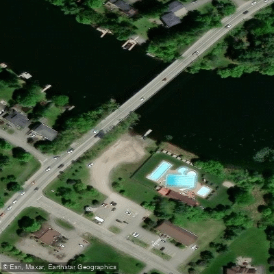
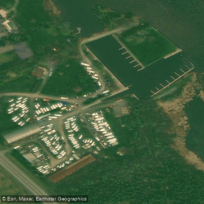
Access points are numerous along the route. In Kingston, paddlers can launch from the Cataraqui Canoe Club on River Street or from Kingston Mills on Kingston Mills Road. In Ottawa, Dow's Lake provides access to the canal system. Additional launches exist at locations such as W.A. Taylor Conservation Area on River Road, Kars on Carleton Road, and various lockstations throughout the system. Boat rental is available through Perth Outfitters in Perth and Drifters Outdoors in Kemptville.
The recommended direction for paddling the full length is from Kingston to Ottawa, as prevailing southwesterly winds tend to assist travel in that direction. Paddlers are advised to start early in the morning and reach their destination by midday before winds intensify on the open lakes. During peak powerboat season in July and August, canoes and kayaks can avoid channel traffic by following shorelines or portaging into feeder lakes and rivers. Near Rideau Falls in Ottawa, where the Rideau River empties into the Ottawa River, strong currents require caution.
The full route can be completed in as few as five or six days, though ten to eleven days is recommended to fully experience the natural and cultural heritage along the way. Notable stops include the historic town of Merrickville, Newboro, Smiths Falls, and the Jones Falls lockstation. The system passes through diverse environments including narrow channels, open lakes, marshes, and bays.
Water access, boat ramps & amenities
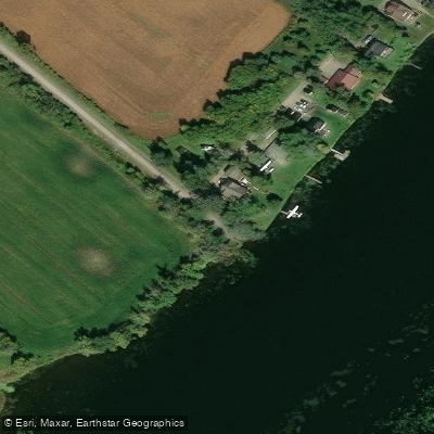
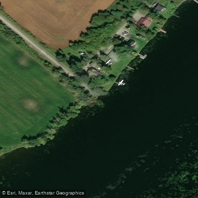
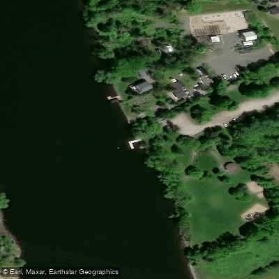
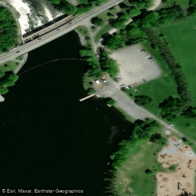
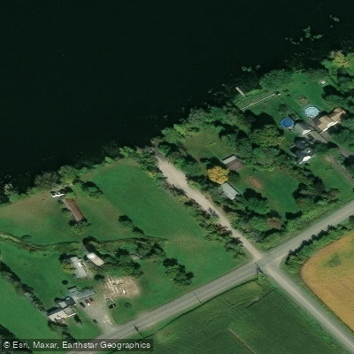
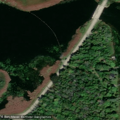
Learn how to get on Rideau River. Uncover great paddling access points, boat ramps, and all the facilities you need for an unforgettable day on the water. Some locations shown may border or include private property. Always check property boundaries and applicable regulations before visiting. PaddleWays's Public & Private Land layer can help you plan your access with confidence.
Paddle smarter with real-time insights
Whether you're en route and conditions shift or you're looking for the best spot based on current flows, we enable you to make informed decisions on the fly.








Find Places to Paddle

Over 400,000 Places to Paddle
Every user gets free access to launch points, boat ramps, and public property parcels.


Water and weather conditions (10 day forecast)
See the best times to paddle Rideau River and check the forecast before you go.
RIDEAU RIVER AT OTTAWA
All Flow Stations
Paddling near Rideau River

Explore On waters
Top paddling waters
No waters available right now.
Popular Cities
Loading popular cities...
Explore near Rideau River
Access points
Nearby waters
More in On

Smarter Paddling Starts in the App.
Paddleways gives you everything you need to plan smarter, paddle better, and own every trip from first launch to takeout.