Ottawa River
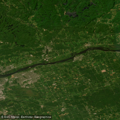
Ottawa River
- Boat Ramps
- 1
- Access Points
- 0
- Campsites
- 1
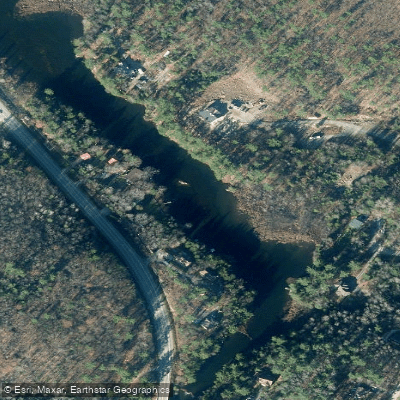
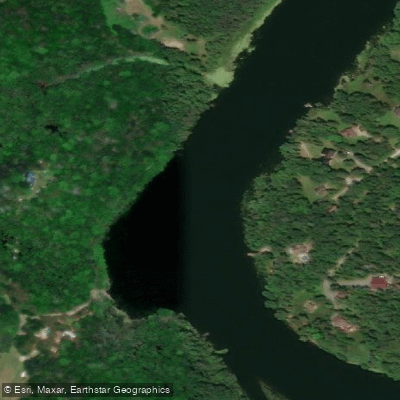
The Ottawa River, known to the Algonquin as Kitchisippi, stretches approximately 1,270 kilometres and forms much of the border between Quebec and Ontario. The Quebec shoreline is defined by the Laurentian Mountains, with dramatic cliffs dropping directly to the water's edge in several locations. The most notable of these is Oiseau Rock, situated roughly 12 kilometres downstream of Deep River, which also features red ochre paintings and a hiking trail. Numerous rivers and streams descend from the Laurentians along the Quebec shore, and the river offers miles of sandy beaches, particularly on the Quebec side opposite communities like Deep River and Horton, where kilometre after kilometre of white sand beaches reward paddlers willing to cross the main channel.
The river accommodates a wide range of paddling styles. Flatwater touring by canoe or kayak is well suited to the broader, calmer sections, while whitewater paddlers will find rapids ranging from Class 1 through Class 5, particularly in the upper sections near Rapides-des-Joachims (locally known as Swisha). This village in Quebec, situated a few kilometres north of Rolphton on Highway 17, serves as a common access point for the upper river. Whitewater ratings span Class 1 to 5, and the season generally runs from May to November. Novice paddlers should only attempt whitewater sections accompanied by experienced paddlers, and all rapids should be properly scouted and portaged as required. The upper river is notably isolated, and paddlers should consult maps and guidebooks before setting out.
Campsites are abundant along the river. The river carries significant historical weight as the primary access route into much of North America for First Nations peoples, European explorers, fur traders, missionaries, and settlers. Evidence of the logging era remains visible, including the ruins of the Great Slide used for log transport until 1895, located near the Great Fall, where the river drops 125 feet. Boat traffic can be heavy in some sections, so paddlers should remain alert, particularly near marinas and developed waterfronts. Esprit Whitewater, based in Davidson, Quebec, offers canoe trips, rentals, and shuttle services for those seeking guided access to the river and its tributaries.
Water access, boat ramps & amenities
Learn how to get on Ottawa River. Uncover great paddling access points, boat ramps, and all the facilities you need for an unforgettable day on the water. Some locations shown may border or include private property. Always check property boundaries and applicable regulations before visiting. PaddleWays's Public & Private Land layer can help you plan your access with confidence.
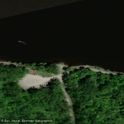
Paddle smarter with real-time insights
Whether you're en route and conditions shift or you're looking for the best spot based on current flows, we enable you to make informed decisions on the fly.







Qc licenses and regulations
No licenses or regulations available for Qc.
Find Places to Paddle

Over 400,000 Places to Paddle
Every user gets free access to launch points, boat ramps, and public property parcels.


Water and weather conditions (10 day forecast)
See the best times to paddle Ottawa River and check the forecast before you go.
OUTAOUAIS (RIVIERE DES) A HULL
All Flow Stations
Paddling near Ottawa River

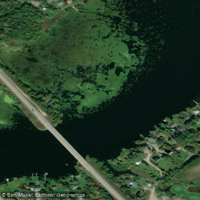
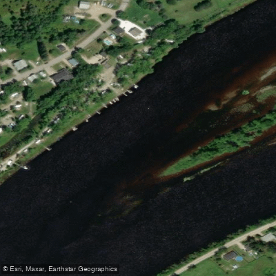
Explore Qc waters
Top paddling waters
No waters available right now.
Popular Cities
Loading popular cities...
Explore near Ottawa River
Access points
Nearby waters
More in Qc

Smarter Paddling Starts in the App.
Paddleways gives you everything you need to plan smarter, paddle better, and own every trip from first launch to takeout.