Rivière Gatineau
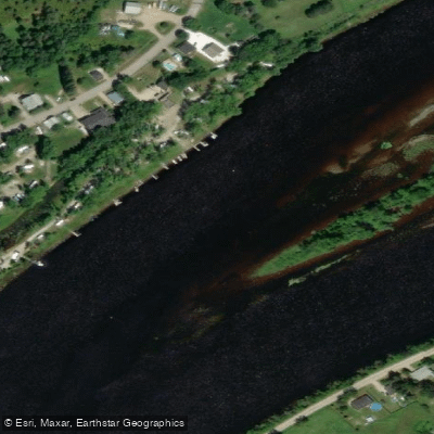
Rivière Gatineau
- Boat Ramps
- 0
- Access Points
- 0
- Campsites
- 2
The Rivière Gatineau flows south from the Laurentian Mountains through Quebec, passing through lush forests, rolling hills, and a series of communities before joining the Ottawa River at the city of Gatineau. The river offers a wide range of paddling experiences depending on the section chosen, from demanding whitewater to relaxed flatwater touring.
The upper sections, particularly above and around Maniwaki, feature solid Class III and IV rapids that vary considerably with water levels. The stretch from Bouchette to Cantley is a manageable multi-day canoe route. Within this section, paddlers should be aware of a pushy Class II rapid under the bridge at Northfield, which changes character significantly with water levels. A portage is required at the dam in Low, with the take-out between the two dams followed by a walk of approximately one kilometre on river left along the dam road to the put-in. The covered bridge at Wakefield marks another swift, with river right being the easier line, though paddlers should watch for a sizeable rock close to the right shore. The portage at the Gatineau dam further downstream is notably more difficult, requiring a walk along the side of a highway for a considerable distance.
A popular starting point for multi-day trips is Maniwaki, with paddlers commonly running to the Ottawa River over roughly seven days. The section from Lac Ste-Marie to Ottawa has been completed as a multi-day trip, with the water described as generally calm with some swifts before Wakefield.
Near Wakefield, paddlers can access the river and paddle upstream toward the Wakefield Covered Bridge, though the current in that area is stronger and some paddlers choose to walk along the shoreline rather than paddle against it. As the river approaches the city of Gatineau, it widens and the current slows considerably, making the lower section suitable for relaxed paddling with views of the city's outskirts.
At the confluence with the Ottawa River, the Maclaren Central facility in downtown Gatineau provides multiple launch ramps, ample parking including truck-and-trailer spaces, restroom facilities, and picnic areas, with easy access from QC-105. Wildlife along the river includes beavers, otters, moose, bears, eagles, and various bird species.
Water access, boat ramps & amenities
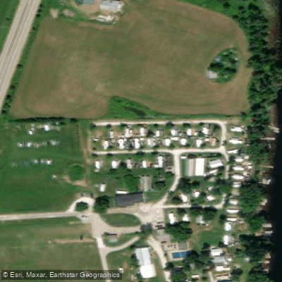
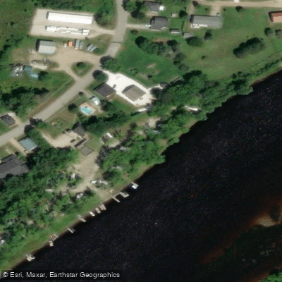
Learn how to get on Rivière Gatineau. Uncover great paddling access points, boat ramps, and all the facilities you need for an unforgettable day on the water. Some locations shown may border or include private property. Always check property boundaries and applicable regulations before visiting. PaddleWays's Public & Private Land layer can help you plan your access with confidence.
Paddle smarter with real-time insights
Whether you're en route and conditions shift or you're looking for the best spot based on current flows, we enable you to make informed decisions on the fly.







Qc licenses and regulations
No licenses or regulations available for Qc.
Find Places to Paddle

Over 400,000 Places to Paddle
Every user gets free access to launch points, boat ramps, and public property parcels.


Water and weather conditions (10 day forecast)
See the best times to paddle Rivière Gatineau and check the forecast before you go.
GATINEAU (RIVIERE) AUX RAPIDES CEIZUR
Paddling near Rivière Gatineau

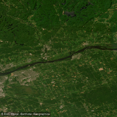
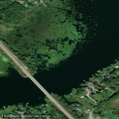
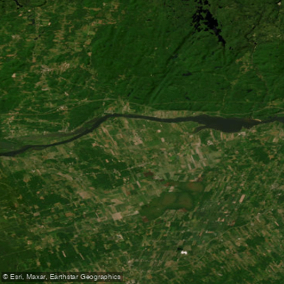
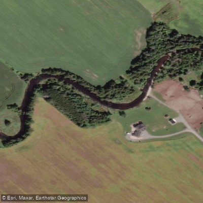
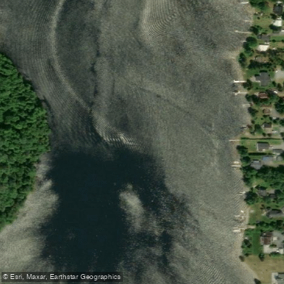
Explore Qc waters
Top paddling waters
No waters available right now.
Popular Cities
Loading popular cities...
Explore near Rivière Gatineau

Smarter Paddling Starts in the App.
Paddleways gives you everything you need to plan smarter, paddle better, and own every trip from first launch to takeout.