Spanish River
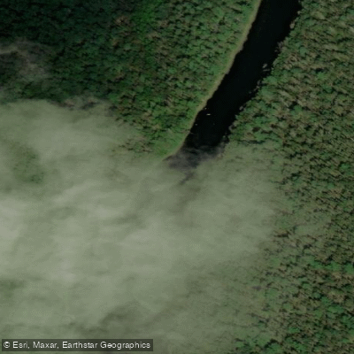
Spanish River
- Boat Ramps
- 0
- Access Points
- 0
- Campsites
- 0
The Spanish River in northern Ontario is a multi-day backcountry canoe route flowing approximately 338 km from two source branches — the East Branch originating at Duke Lake and the West Branch originating near Biscotasi Lake — before joining at a confluence known as The Forks and continuing south to Georgian Bay. The upper portion of the river forms a Y-shape when viewed from above. In practice, most paddlers travel between The Forks and Agnew Lake, as hydroelectric dams make the lower river impassable beyond that point. The typical route covers 145 km over 7 to 10 days, with 10 portages totalling approximately 4,865 metres; the longest single portage is 1,700 metres.
The East Branch is rated novice to intermediate, featuring Class I and II rapids, swifts, and moving water with a relatively shallow gradient. The West Branch is wilder and more demanding, with the notable C3 Rapids — a 400-metre stretch of Class III whitewater involving rocks, turns, braids, and shelves — as its most serious challenge. The river flows in a classic drop-and-pool pattern through Canadian Shield terrain, with deep gorges, gravel banks, and towering white pines. The water carries a tea-stained brownish colour from tannins released by decaying organic matter; this is normal for the region and poses no health risk when the water is filtered.
Access to the East Branch is road-accessible, with a common put-in at Duke Lake and a take-out at a location known as The Elbow. Shuttle services are available through local outfitters such as Fox Lake Lodge. West Branch access points are not road-accessible; paddlers must use the VIA Rail Sudbury–White River line (sometimes called Budd's Train), which runs three times weekly and carries canoes and gear. Paddlers typically board at Cartier to avoid vandalism issues at the Sudbury station. The train parallels much of the river, allowing flexible put-in selection.
The river passes through Spanish River Provincial Park, a waterway-class park established in 2001. The route carries significant historical weight as a travel corridor for the Ojibwe, 18th-century fur traders, and early 20th-century conservationist Archie Belaney (Grey Owl). Campsites are located on a mix of rock and sand, though some are noted as minimal and positioned mid-portage. The most popular shorter trip runs from The Forks to The Elbow over three days and two nights.
Water access, boat ramps & amenities
Learn how to get on Spanish River. Uncover great paddling access points, boat ramps, and all the facilities you need for an unforgettable day on the water. Some locations shown may border or include private property. Always check property boundaries and applicable regulations before visiting. PaddleWays's Public & Private Land layer can help you plan your access with confidence.
Paddle smarter with real-time insights
Whether you're en route and conditions shift or you're looking for the best spot based on current flows, we enable you to make informed decisions on the fly.








Find Places to Paddle

Over 400,000 Places to Paddle
Every user gets free access to launch points, boat ramps, and public property parcels.


Water and weather conditions (10 day forecast)
See the best times to paddle Spanish River and check the forecast before you go.
No forecast data available.
Paddling near Spanish River
Humber River
Mimico Creek
Etobicoke Creek
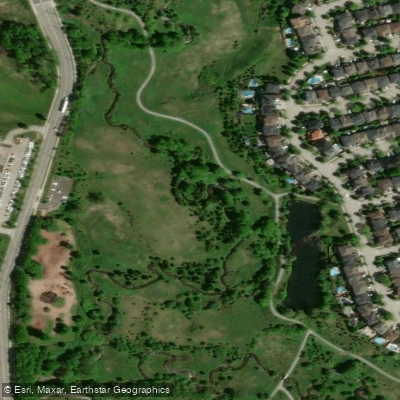
Holland River East Branch
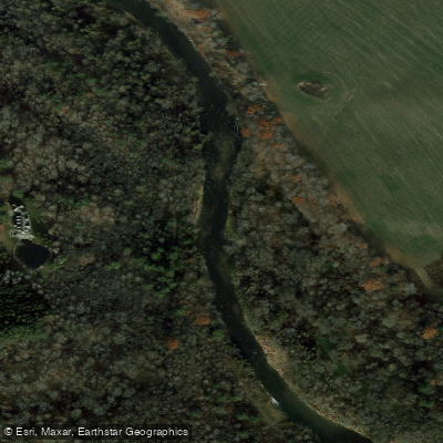
Credit River
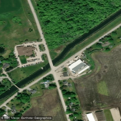
Holland River
Pefferlaw River
Duffins Creek
Sixteen Mile Creek
Nottawasaga River
Explore On waters
Top paddling waters
No waters available right now.
Popular Cities
Loading popular cities...
Explore near Spanish River

Smarter Paddling Starts in the App.
Paddleways gives you everything you need to plan smarter, paddle better, and own every trip from first launch to takeout.