Paddling in Gros Morne National Park
- National Park
- Lakes
- 154
- Rivers
- 54
- Access
- 8
- Boat Ramps
- 2
- Shops
- 0
Gros Morne sits on Newfoundland's west coast, where the Long Range Mountains drop into Bonne Bay and a string of inland ponds and rivers stretch across a UNESCO World Heritage landscape.
The paddling here is dominated by two very different kinds of water: the saltwater arms of Bonne Bay, open to tidal influence and coastal weather, and the freshwater fjords and ponds carved deep into the plateau by glaciers.
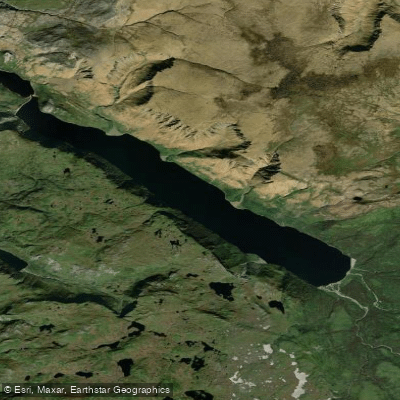
Western Brook Pond is the centrepiece of the inland paddling. It's a landlocked fjord — cut off from the sea — with billion-year-old cliffs rising on both sides and waterfalls dropping roughly 600 metres before they reach the water.
The pond sits well back from the highway, accessed by a flat 3-kilometre walk across the coastal bogs. Conditions can shift fast; the cliffs funnel wind and the water is cold year-round. Bonne Bay is the other anchor.
Its two main arms — the East Arm and the South Arm — give sea kayakers sheltered fjord paddling with tidal currents, rocky shorelines, and the Tablelands rising directly above the water on the south side.
Single and double sea kayaks are available for rent at Norris Point for paddlers who want to explore independently. Guided tours run out of the same area.
Wind is the governing factor: Parks Canada notes that strong winds are common from mid-morning to mid-afternoon, and they can build steep breaking waves quickly, especially where wind opposes tide.
Tidal information for this stretch of coast uses the Gulf of St. Lawrence Southeast, Norris Cove reference station. Weather in the park is highly variable. Calm days are rare even in summer, and conditions can persist for several days. Check weather. gc.
ca before any trip and treat any forecast as a starting point, not a guarantee. Paddling here is paddling inside a national park, and that changes the rules.
Some activities require a permit; check with the Visitor Centre or Discovery Centre before anything non-standard or commercial. Area closures can be imposed for resource protection or safety and are enforceable by law — posted at access points and online.
The Canada National Parks Act applies to everything on the water, and violations carry serious consequences. The park is open year-round, with peak season running May through October.
Come prepared for cold water regardless of air temperature, and build extra days into any itinerary — the weather will use them.
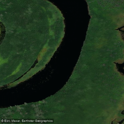
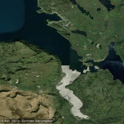
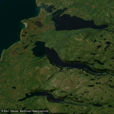
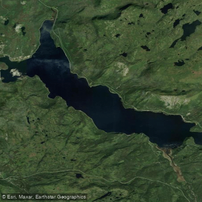
Top waters to paddle near Gros Morne National Park
Water and weather conditions (10 day forecast)
See the best times to paddle Gros Morne National Park and check the forecast before you go.
No forecast data available.
Paddle smarter with real-time insights
Whether you're en route and conditions shift or you're looking for the best spot based on current flows, we enable you to make informed decisions on the fly.







Paddling near Gros Morne National Park
Loading...
Gateway towns
Where to base yourself for paddling in Gros Morne National Park.
- Rocky HarbourNL
The main visitor hub inside the park, with the Parks Canada visitor centre, lodging, restaurants, and trail access.
- Norris PointNL
Sits on Bonne Bay and serves as a base for the southern part of the park, with lodging and water access.
- Woody PointNL
Gateway to the Tablelands on the park's south side, with lodging, dining, and access to Green Gardens trails.
- Cow HeadNL
The northernmost gateway community, offering lodging and access to the park's northern trails and coastline.
Explore Gros Morne National Park
Top paddling waters
Popular Cities
Loading popular cities...

Smarter Paddling Starts in the App.
Paddleways gives you everything you need to plan smarter, paddle better, and own every trip from first launch to takeout.