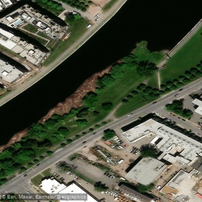
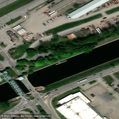
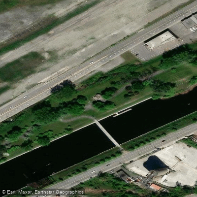
Charlevoix station Day Use Area
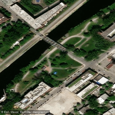
Charlevoix station Day Use Area
Nearby points of interest
Find excellent paddling spots, easy access to boat ramps, and all the amenities you need for a memorable day. Your adventure starts here.
Water and weather conditions (10 day forecast)
Check the forecast at Charlevoix station Day Use Area before you go paddling.
No forecast data available.
Paddling near Charlevoix station Day Use Area
Fleuve Saint-Laurent
QC
41.7 miles away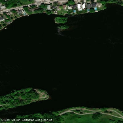
Rivière des Prairies
QC
8.1 miles away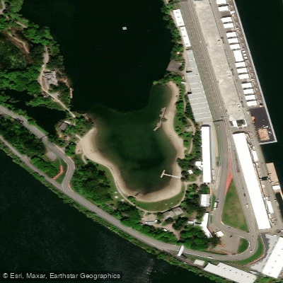
Plage Jean-Doré
QC
2.7 miles away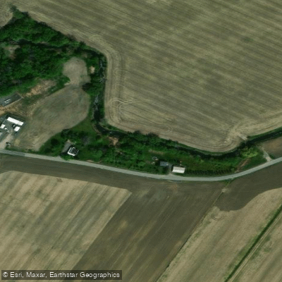
Rivière de la Tortue
QC
17 miles away
Ottawa River
ON
148.6 miles away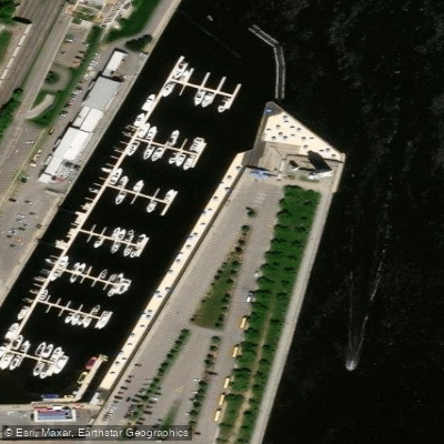
Plage de l'Horloge
QC
2.5 miles away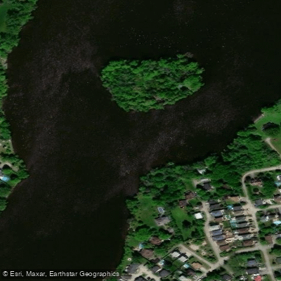
Rivière des Mille Îles
QC
15.2 miles away
Rivière Richelieu
QC
16.1 miles away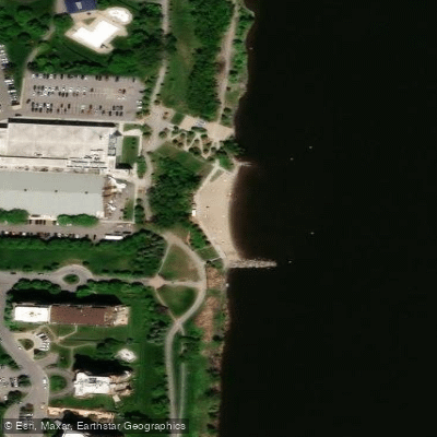
Plage urbaine de Verdun
QC
1.4 miles away
Rivière L'Assomption
QC
42.1 miles awayQc licenses and regulations
Explore Qc waters
Top paddling waters
No waters available right now.
Popular Cities
Loading popular cities...
Explore near Charlevoix station Day Use Area
Nearby spots
- Belt line station Day Use Area
- Gauron-Lafleur station Day Use Area
- Grue Lasalle-Coke station Day Use Area
- 10 ouest / Montréal Centre-Ville / Île-des-Soeurs Bridge
- A-15 Sud (Autoroute Décarie) / Pont Champlain Bridge
- A-520 Ouest (Autoroute Côte-de-Liesse) / Aéroport Bridge
- Atateken / Viger Bridge
- Atwater Footbridge | Lachine Canal National Historic Site
- Avenue Pierre-Dupuy Bridge
- Boul. de L'Île-des-Soeurs Bridge
- Boulevard Gaétan-Laberge / Rue Wellington Bridge
- Chemin de la Pointe-nord Bridge
- All 46 nearby spots
Nearby waters
More in Qc

Smarter Paddling Starts in the App.
Paddleways gives you everything you need to plan smarter, paddle better, and own every trip from first launch to takeout.