Estuaire fluvial du Saint-Laurent
- Saltwater
- Estuary

Estuaire fluvial du Saint-Laurent
- Saltwater
- Estuary
- Sq. miles
- 290
- Boat Ramps
- 0
- Access Points
- 0
- Campsites
- 0
The Estuaire fluvial du Saint-Laurent in the Lotbinière MRC is a marine environment, part of the broader St. Lawrence River estuary. A primary paddling route here is the 12-kilometer Boucle de l’Île et des Navigateurs, which forms a loop between Leclercville and Lotbinière. The recommended launch and take-out point is the Parc de l’île de Leclercville at 8000 Route Marie-Victorin, which offers a boat ramp, a beach, free parking, picnic areas, and toilets. This route is suitable for intermediate paddlers using sea kayaks, recreational kayaks, canoes, or stand-up paddleboards, with suggested certifications including Kayak de Mer 2 and SUP Rando 3. The paddling season typically runs from May to October, with a trip duration estimated between three to six hours for a half-day excursion.
Paddling here requires careful planning around tidal conditions. The water body experiences significant tides, and paddlers are advised to plan their departure to take advantage of the tidal current. Vast intertidal flats are exposed at low tide, which must be factored into trip timing. The area is exposed to wind, and while intermediate paddlers can manage in moderate winds up to 19 knots (35 km/h), checking forecasts is essential. A major safety consideration is commercial boat traffic within the main shipping channel of the estuary; paddlers must navigate outside this designated waterway and remain vigilant. Cell phone coverage in the area is variable.
The route offers an immersion into a rich coastal habitat where wildlife is prominent. Paddlers may observe the striped bass, a species emblematic of the area and currently undergoing reintroduction efforts. The overall experience blends natural observation with the historical and cultural context of the St. Lawrence River.
Water access, boat ramps & amenities
Learn how to get on Estuaire fluvial du Saint-Laurent. Uncover great paddling access points, boat ramps, and all the facilities you need for an unforgettable day on the water. Some locations shown may border or include private property. Always check property boundaries and applicable regulations before visiting. PaddleWays's Public & Private Land layer can help you plan your access with confidence.
Paddle smarter with real-time insights
Whether you're en route and conditions shift or you're looking for the best spot based on current flows, we enable you to make informed decisions on the fly.







Qc licenses and regulations
No licenses or regulations available for Qc.
Find Places to Paddle

Over 400,000 Places to Paddle
Every user gets free access to launch points, boat ramps, and public property parcels.


Tides, wind & water conditions (10 day forecast)
On open water, wind and tide matter as much as the weather. See the best times to paddle Estuaire fluvial du Saint-Laurent and check the marine forecast before you launch.
Loading tide predictions…
Paddling near Estuaire fluvial du Saint-Laurent
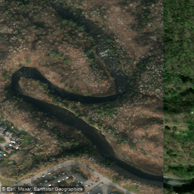
Rivière Saint-Charles
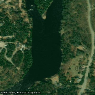
Rivière Jacques-Cartier
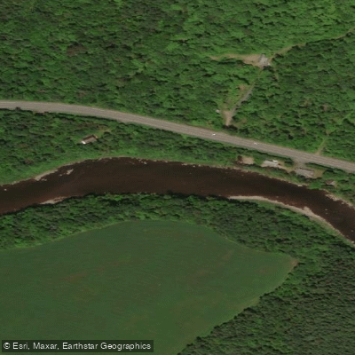
Rivière Etchemin
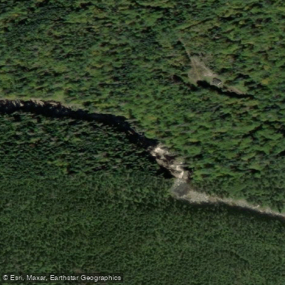
Rivière Montmorency
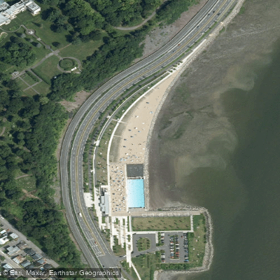
Plage Samuel de Champlain
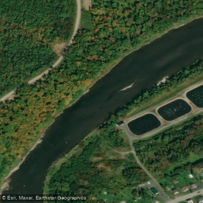
Rivière Chaudière
Rivière des Hurons
Battures de Beauport
Rivière Sainte-Anne
Explore Qc waters
Top paddling waters
No waters available right now.
Popular Cities
Loading popular cities...
Explore near Estuaire fluvial du Saint-Laurent

Smarter Paddling Starts in the App.
Paddleways gives you everything you need to plan smarter, paddle better, and own every trip from first launch to takeout.