Rivière Etchemin
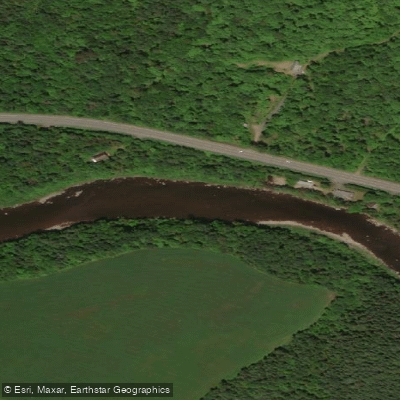
Rivière Etchemin
- Boat Ramps
- 0
- Access Points
- 0
- Campsites
- 3
The Rivière Etchemin flows through the Chaudière-Appalaches region of Quebec, passing through areas including the Les Etchemins and Drummond regional county municipalities. The river is a recognized paddling destination, with Canot Kayak Québec having produced a dedicated map bundle covering a portion of the route, indicating launch points, rapids, portages, camping sites, and other points of interest along the riverbanks. This free digital map set, published in October 2022 and available through the Avenza Maps app, is divided into three sections and covers the paddling corridor in detail.
One well-established route is the Le Beauchemin canoe and kayak circuit, based at Saint-Léon-de-Standon. This is a mixed-character route of 23.5 km that follows the meanders of the Etchemin through mountainous terrain with notable biodiversity. The circuit is accessible to paddlers with their own craft and also offers equipment rentals, including eight single kayaks, one double kayak, one double kayak adapted for paddlers with reduced mobility, seven canoes, and seven stand-up paddleboards.
Another documented section runs from Saint-Romuald to Québec City, which has been the subject of a kayak video guide. This section was filmed at a flow rate of approximately 110–120 m³/s, suggesting it carries meaningful current and likely includes whitewater features. The presence of rapids and portages noted on the Canot Kayak Québec maps confirms that the river is not uniformly flatwater and that paddlers should be prepared for moving water and the need to portage in certain sections.
The river passes through a landscape described as mountainous with rich biodiversity, offering a varied natural setting along its course. The combination of flatwater meanders and rapids makes the Etchemin suitable for a range of paddling styles, though the whitewater sections require appropriate skill and judgment. Paddlers planning multi-day trips will find camping sites marked along the route on the Canot Kayak Québec maps.
Water access, boat ramps & amenities
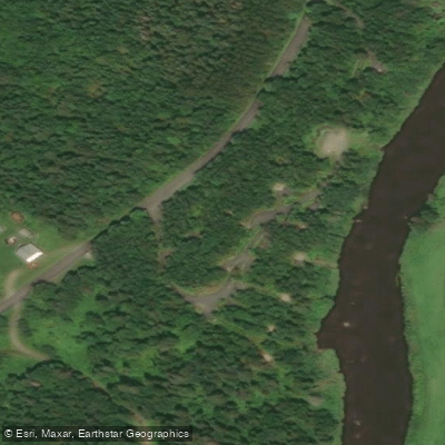
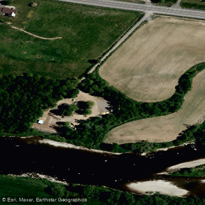
Learn how to get on Rivière Etchemin. Uncover great paddling access points, boat ramps, and all the facilities you need for an unforgettable day on the water. Some locations shown may border or include private property. Always check property boundaries and applicable regulations before visiting. PaddleWays's Public & Private Land layer can help you plan your access with confidence.
Paddle smarter with real-time insights
Whether you're en route and conditions shift or you're looking for the best spot based on current flows, we enable you to make informed decisions on the fly.







Qc licenses and regulations
No licenses or regulations available for Qc.
Find Places to Paddle

Over 400,000 Places to Paddle
Every user gets free access to launch points, boat ramps, and public property parcels.


Water and weather conditions (10 day forecast)
See the best times to paddle Rivière Etchemin and check the forecast before you go.
ETCHEMIN (RIVIERE) AU PONT-ROUTE 173 A SAINT-HENRI-DE-LEVIS
Paddling near Rivière Etchemin
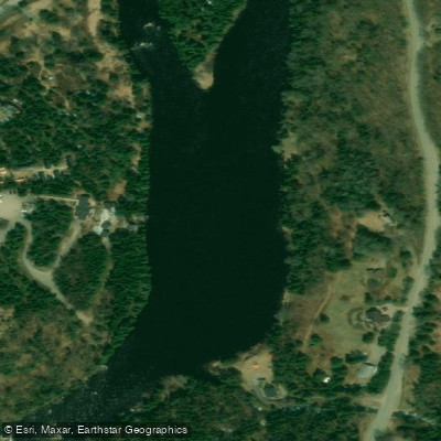
Rivière Jacques-Cartier
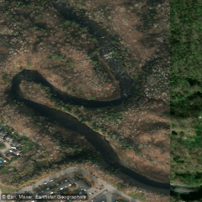
Rivière Saint-Charles

Estuaire fluvial du Saint-Laurent
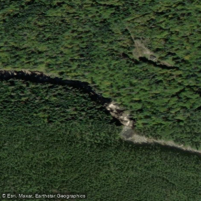
Rivière Montmorency
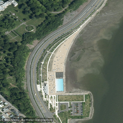
Plage Samuel de Champlain
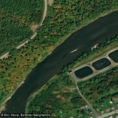
Rivière Chaudière
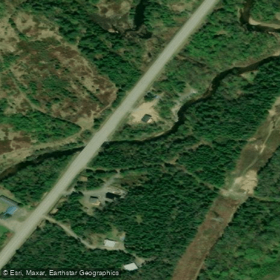
Rivière des Hurons
Battures de Beauport
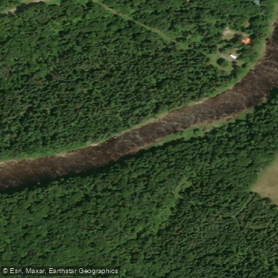
Rivière Sainte-Anne
Explore Qc waters
Top paddling waters
No waters available right now.
Popular Cities
Loading popular cities...
Explore near Rivière Etchemin
Access points
Nearby waters
More in Qc

Smarter Paddling Starts in the App.
Paddleways gives you everything you need to plan smarter, paddle better, and own every trip from first launch to takeout.