Rivière Saint-Charles
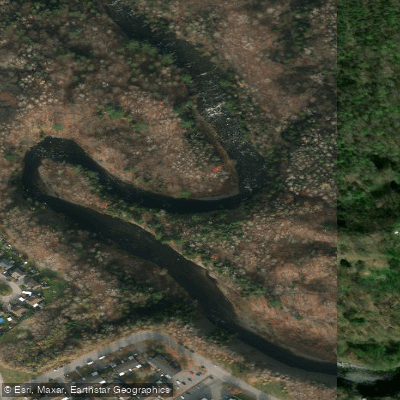
Rivière Saint-Charles
- Boat Ramps
- 0
- Access Points
- 0
- Campsites
- 0
The Rivière Saint-Charles flows through Quebec City, originating at Lac Saint-Charles and emptying into the St. Lawrence River at the Vieux-Port of Quebec. The paddleable stretch covers approximately 20 km of calm, slow-moving water, making it one of the more accessible urban paddling destinations in the province.
The river is well-suited to beginners and casual paddlers, with calm and easy water throughout the main paddling corridor. Multiple put-in points are available at parks along the riverbanks. Canots Légaré, located at 12766 boulevard Valcartier roughly 15 minutes from downtown Quebec City, operates as a primary rental and launch center offering canoes, kayaks, paddleboards, and rabaskas. The rental season runs from mid-May to mid-October, and advance booking is strongly recommended. Free parking is available on site.
The Parc linéaire de la rivière Saint-Charles, a 32 km linear park divided into 13 sectors, runs along both banks of the river from Lac Saint-Charles to the Vieux-Port. This corridor provides paddlers with access to the river at multiple points and offers the experience of passing under historic bridges and through urban neighborhoods including Vanier, Limoilou, Saint-Sauveur, and Saint-Roch. The Lieu historique national Cartier-Brébeuf is situated along the route. At the mouth of the river, Beauport Bay opens onto views of the St. Lawrence River and the Quebec City skyline.
One noted put-in area near a waterfall close to the Canots Légaré base offers access to the upper portion of the paddling corridor, with the option to paddle upstream toward Lac Saint-Charles. The river can become quite crowded on hot summer days, particularly at popular access points. The overall character of the paddling experience is urban and recreational, threading through the fabric of a historic city rather than through wilderness.
Water access, boat ramps & amenities
Learn how to get on Rivière Saint-Charles. Uncover great paddling access points, boat ramps, and all the facilities you need for an unforgettable day on the water. Some locations shown may border or include private property. Always check property boundaries and applicable regulations before visiting. PaddleWays's Public & Private Land layer can help you plan your access with confidence.
Paddle smarter with real-time insights
Whether you're en route and conditions shift or you're looking for the best spot based on current flows, we enable you to make informed decisions on the fly.







Qc licenses and regulations
No licenses or regulations available for Qc.
Find Places to Paddle

Over 400,000 Places to Paddle
Every user gets free access to launch points, boat ramps, and public property parcels.


Water and weather conditions (10 day forecast)
See the best times to paddle Rivière Saint-Charles and check the forecast before you go.
SAINT-CHARLES (RIVIERE) A 0,8 KM EN AMONT DE LA RIVIERE LORETTE
Paddling near Rivière Saint-Charles
Rivière Jacques-Cartier

Estuaire fluvial du Saint-Laurent
Rivière Etchemin
Rivière Montmorency
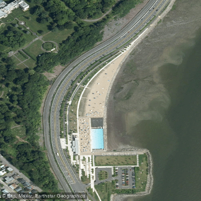
Plage Samuel de Champlain
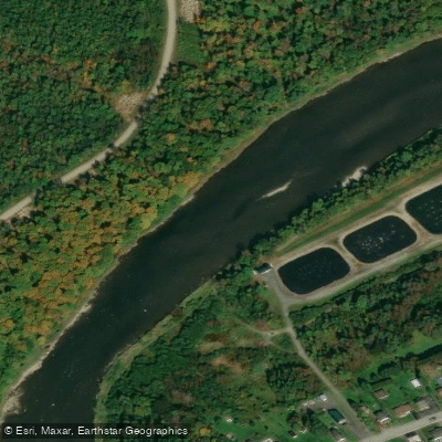
Rivière Chaudière
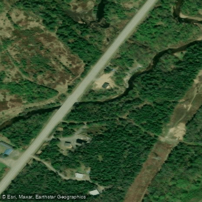
Rivière des Hurons
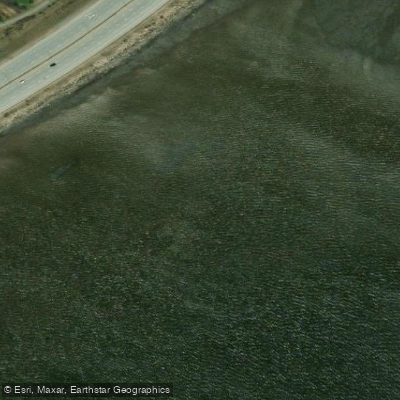
Battures de Beauport
Rivière Sainte-Anne
Explore Qc waters
Top paddling waters
No waters available right now.
Popular Cities
Loading popular cities...
Explore near Rivière Saint-Charles
Access points
Nearby waters
More in Qc

Smarter Paddling Starts in the App.
Paddleways gives you everything you need to plan smarter, paddle better, and own every trip from first launch to takeout.