Rivière Sainte-Anne
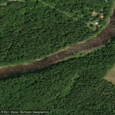
Rivière Sainte-Anne
- Boat Ramps
- 0
- Access Points
- 0
- Campsites
- 4
The Rivière Sainte-Anne in Gaspésie runs approximately 70 kilometres from Lac Sainte-Anne northward to the St. Lawrence at Sainte-Anne-des-Monts. For much of its length, the river passes between the Chic-Chocs, Quebec's highest peaks, and through the Parc national de la Gaspésie and the Réserve faunique des Chic-Chocs. This geography produces exceptionally clear, cold water and an extended mountain landscape within largely undisturbed forest.
The river is divided into three fishing sectors, and paddling access is managed accordingly. In one of the three sectors, canoeing with a guide is the established mode of travel, a tradition that dates back to the earliest days of organized activity on the river. The managing organization, Destination Chic-Chocs, oversees fishing, habitat restoration, and diversified activities including paddling. Access to all sectors is restricted, so paddlers should confirm current access arrangements and any permit requirements directly with Destination Chic-Chocs before planning a trip.
Canot Kayak Québec has produced a digital map bundle covering the full length of the river, available through the Avenza Maps app. The maps indicate put-in and take-out points, rapids, portages, camping sites, and other points of interest along the corridor. The river extends 49 kilometres of fishable water, with 64 identified pools; the downstream pools tend to sit on coarse gravel beds while those upstream involve large boulders. Brook trout are present alongside the Atlantic salmon population, which ranges as far as the Sainte-Anne Falls, approximately 50 kilometres upstream from the mouth.
The fishing season runs from June 15 to September 30, which broadly corresponds to the period when water levels and temperatures are most suitable for paddling. The river has been managed under a sustainable development framework since 1993, with an emphasis on resource protection and habitat maintenance.
Water access, boat ramps & amenities
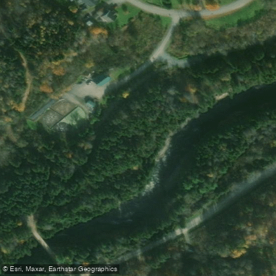
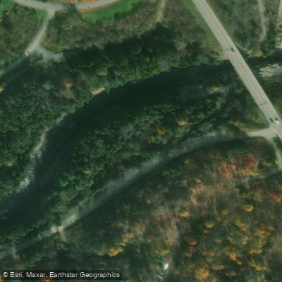
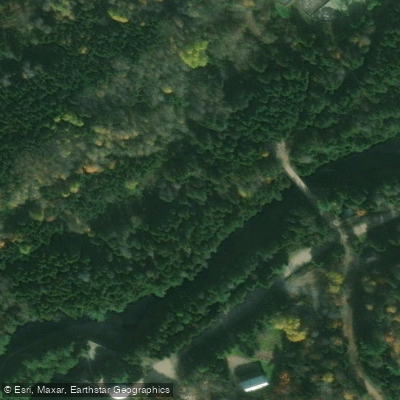
Learn how to get on Rivière Sainte-Anne. Uncover great paddling access points, boat ramps, and all the facilities you need for an unforgettable day on the water. Some locations shown may border or include private property. Always check property boundaries and applicable regulations before visiting. PaddleWays's Public & Private Land layer can help you plan your access with confidence.
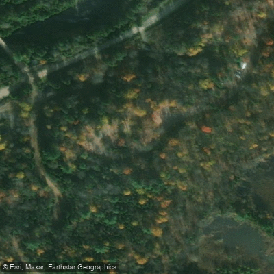
Paddle smarter with real-time insights
Whether you're en route and conditions shift or you're looking for the best spot based on current flows, we enable you to make informed decisions on the fly.







Qc licenses and regulations
No licenses or regulations available for Qc.
Find Places to Paddle

Over 400,000 Places to Paddle
Every user gets free access to launch points, boat ramps, and public property parcels.


Water and weather conditions (10 day forecast)
See the best times to paddle Rivière Sainte-Anne and check the forecast before you go.
SAINTE-ANNE (RIVIERE) A 1,3 KM EN AVAL DU BARRAGE A CHUTE-PANET
Paddling near Rivière Sainte-Anne
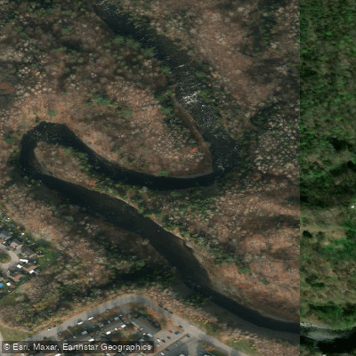
Rivière Saint-Charles
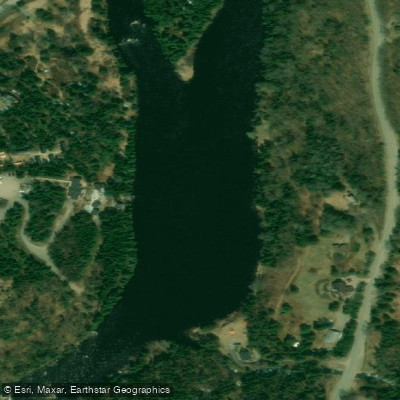
Rivière Jacques-Cartier

Estuaire fluvial du Saint-Laurent
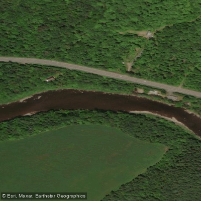
Rivière Etchemin
Rivière Montmorency
Plage Samuel de Champlain
Rivière Chaudière
Rivière des Hurons
Battures de Beauport
Explore Qc waters
Top paddling waters
No waters available right now.
Popular Cities
Loading popular cities...
Explore near Rivière Sainte-Anne
Access points
Nearby waters
More in Qc

Smarter Paddling Starts in the App.
Paddleways gives you everything you need to plan smarter, paddle better, and own every trip from first launch to takeout.