Rivière Chaudière
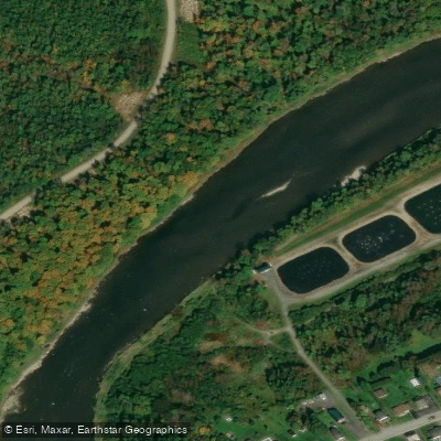
Rivière Chaudière
- Boat Ramps
- 0
- Access Points
- 0
- Campsites
- 5
The Rivière Chaudière flows through the Chaudière-Appalaches region of Quebec and offers paddling opportunities along its full length, from the Granit regional county municipality down to its confluence with the St. Lawrence River near Lévis. The river has enough variety to attract canoeists and kayakers at multiple skill levels, with sections featuring rapids, portages, and calmer stretches suitable for recreational paddling.
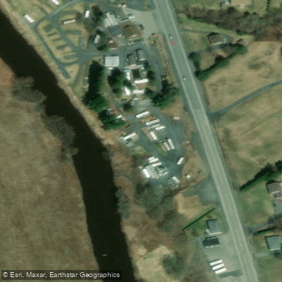
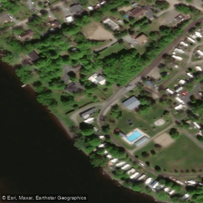
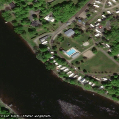
Several access points are established along the river. Parc Nautique Ste-Marie, located near the coordinates 46.447°N, 71.040°W, provides a developed launch facility with a floating dock, boat ramp, and picnic tables. In Saint-Lambert-de-Lauzon, the Halte Nature Belle-Vue at Île Gobeil offers river access with a small public park, and the site is suitable for a loop trip paddling upstream and returning. Near the river's mouth in Lévis, the Marina de la Chaudière at 1250 chemin du Fleuve provides a launching ramp open to the public for a fee of $40, with restrooms, showers, and free customer parking. In Saint-Georges, the Domaine de la Seigneurie area features two launching ramps near Pozer Island, giving access to a 2.6-kilometre lake-like section created by a retractable dam — the only one of its kind in Quebec.
Canot Kayak Québec has published a free six-map digital bundle covering the entire river route, available through the Avenza Maps app. The maps indicate put-in and take-out points, rapids locations and difficulty ratings, portages, camping sites, and other points of interest. The Comité de bassin de la rivière Chaudière (COBARIC) has also developed an interactive map with detailed route information including segment lengths, estimated durations, access and egress points, parking options, and emergency contact numbers — useful resources for trip planning.
The river and its tributaries are recognized as having significant recreational paddling potential, though detailed public information has historically been limited. Paddlers planning multi-day trips will find camping sites noted on the Canot Kayak Québec maps along the corridor.
Water access, boat ramps & amenities
Learn how to get on Rivière Chaudière. Uncover great paddling access points, boat ramps, and all the facilities you need for an unforgettable day on the water. Some locations shown may border or include private property. Always check property boundaries and applicable regulations before visiting. PaddleWays's Public & Private Land layer can help you plan your access with confidence.
Paddle smarter with real-time insights
Whether you're en route and conditions shift or you're looking for the best spot based on current flows, we enable you to make informed decisions on the fly.







Qc licenses and regulations
No licenses or regulations available for Qc.
Find Places to Paddle

Over 400,000 Places to Paddle
Every user gets free access to launch points, boat ramps, and public property parcels.


Water and weather conditions (10 day forecast)
See the best times to paddle Rivière Chaudière and check the forecast before you go.
MEGANTIC (LAC) A MEGANTIC
All Flow Stations
Paddling near Rivière Chaudière
Rivière Jacques-Cartier
Rivière Saint-Charles

Estuaire fluvial du Saint-Laurent
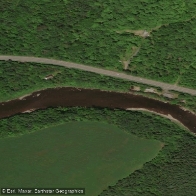
Rivière Etchemin
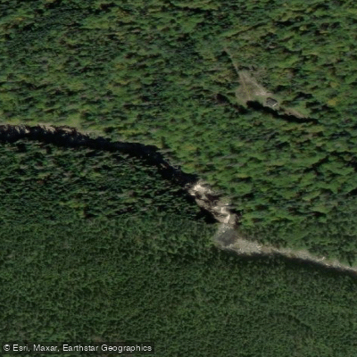
Rivière Montmorency
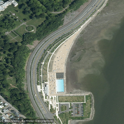
Plage Samuel de Champlain
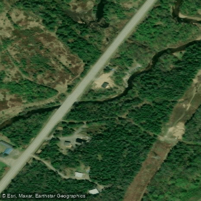
Rivière des Hurons
Battures de Beauport
Rivière Sainte-Anne
Explore Qc waters
Top paddling waters
No waters available right now.
Popular Cities
Loading popular cities...
Explore near Rivière Chaudière
Access points
Nearby waters
More in Qc

Smarter Paddling Starts in the App.
Paddleways gives you everything you need to plan smarter, paddle better, and own every trip from first launch to takeout.