Rivière des Hurons
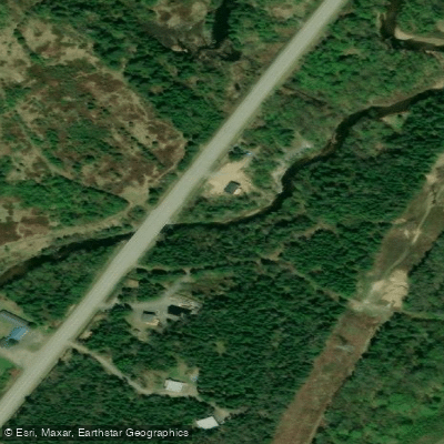
Rivière des Hurons
- Boat Ramps
- 0
- Access Points
- 0
- Campsites
- 2
The Rivière des Hurons flows through the municipality of Stoneham-et-Tewkesbury, north of Quebec City, within the La Jacques-Cartier Regional County Municipality in the Capitale-Nationale administrative region. It is the most significant tributary of Saint-Charles Lake, which serves as one of Quebec City's drinking water reserves. The river originates from the confluence of two mountain streams at an elevation of approximately 659 metres in Stoneham-et-Tewkesbury and flows down to its mouth at Saint-Charles Lake.
The river valley is accessed via several roads including the Grande-Ligne road along the northwest shore, Route 175, Saint-Edmond road, Talbot Boulevard, First Avenue, and Lepire Road. Canot Kayak Québec has produced a dedicated digital map for the river, available through the Avenza Maps app, which marks put-in and take-out points, rapids, portages, camping sites, and other points of interest along the corridor.
Classified as a sporting river, the Rivière des Hurons is navigable primarily in spring, when water levels are sufficient to support paddling. Paddlers should plan their trips accordingly, as the river's character and runnability are closely tied to seasonal water levels. The route involves rapids and portages, indicating a technically demanding experience suited to paddlers with appropriate whitewater skills.
The river carries historical and cultural significance tied to the Wendat (Huron) people, who settled in the Quebec region after being displaced from the Ontario peninsula in 1651. They traveled the Saint-Charles River system, and the river's name commemorates their presence in this territory. The surrounding landscape reflects the forested terrain typical of the Laurentian highlands north of Quebec City.
Water access, boat ramps & amenities
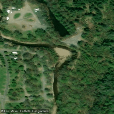
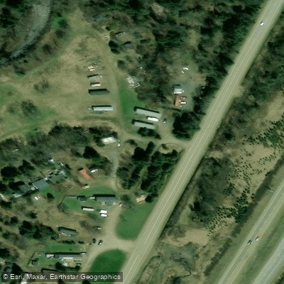
Learn how to get on Rivière des Hurons. Uncover great paddling access points, boat ramps, and all the facilities you need for an unforgettable day on the water. Some locations shown may border or include private property. Always check property boundaries and applicable regulations before visiting. PaddleWays's Public & Private Land layer can help you plan your access with confidence.
Paddle smarter with real-time insights
Whether you're en route and conditions shift or you're looking for the best spot based on current flows, we enable you to make informed decisions on the fly.







Qc licenses and regulations
No licenses or regulations available for Qc.
Find Places to Paddle

Over 400,000 Places to Paddle
Every user gets free access to launch points, boat ramps, and public property parcels.


Water and weather conditions (10 day forecast)
See the best times to paddle Rivière des Hurons and check the forecast before you go.
No forecast data available.
Paddling near Rivière des Hurons
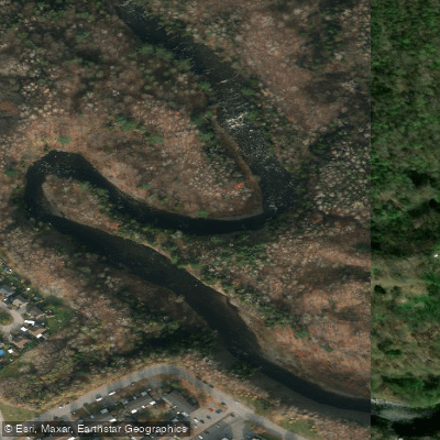
Rivière Saint-Charles
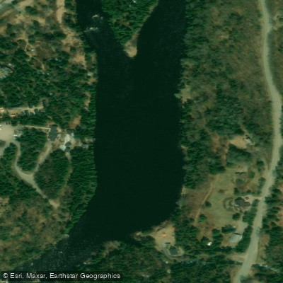
Rivière Jacques-Cartier

Estuaire fluvial du Saint-Laurent
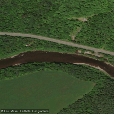
Rivière Etchemin
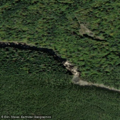
Rivière Montmorency
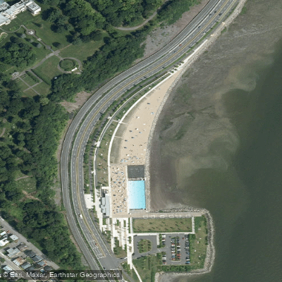
Plage Samuel de Champlain
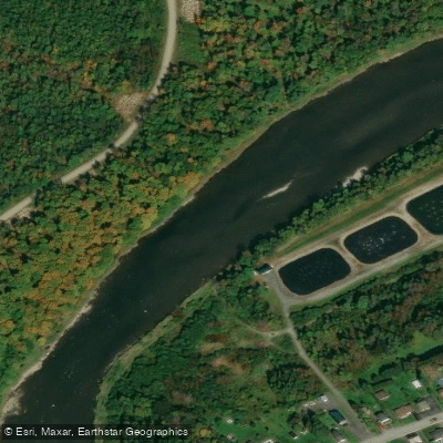
Rivière Chaudière
Battures de Beauport
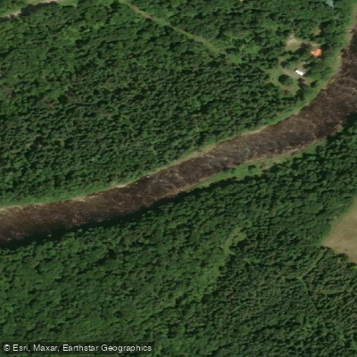
Rivière Sainte-Anne
Explore Qc waters
Top paddling waters
No waters available right now.
Popular Cities
Loading popular cities...
Explore near Rivière des Hurons

Smarter Paddling Starts in the App.
Paddleways gives you everything you need to plan smarter, paddle better, and own every trip from first launch to takeout.