Lacs des Loups Marins
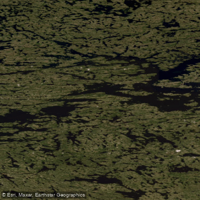
Lacs des Loups Marins
- Boat Ramps
- 0
- Access Points
- 0
- Campsites
- 0
Lacs des Loups Marins is a large lake system in Nunavik, Nord-du-Québec, situated approximately 150 kilometers east of Hudson Bay and about 20 kilometers northeast of Lac à l'Eau Claire. The lake sits at a surface elevation of 262 meters and covers 576 square kilometers, stretching up to 84 kilometers in length and 12 kilometers in width. Its primary outflow is the Nastapoka River, which forms one of the central arteries of Tursujuq National Park, a 26,100-square-kilometer protected wilderness designated in 2013. The lake is frozen from November through June, making the open-water paddling season relatively short.
Access to this remote lake system is challenging. The area lies within Tursujuq National Park, which has no roads, signs, marked trails, or established campsites. The typical approach for canoeists begins on Lacs des Oeufs via the Trans-Taiga Highway from Radisson, a full day's shuttle by vehicle. Beyond that point, travel is by canoe or bush plane only. One documented route involves paddling north through a series of lakes and rivers before turning west onto the larger of the two Seal Lakes.
The lake is known among canoeists for howling winds and the potential for ferocious waves, though conditions can shift to glassy calm. The surrounding landscape is characterized by taiga, rocky tundra, swift rivers, and granite islands. Portaging is required on some sections of the route, including over rocky tundra terrain.
The lake's most distinctive feature is its resident population of harbor seals (Phoca vitulina mellonae), a subspecies unique to this lake system and the only harbor seals in Canada that live entirely in fresh water. Fisheries and Oceans Canada estimates the population at somewhere between 50 and 600 individuals. This subspecies is listed under Canada's Species at Risk Act, and SARA prohibitions against killing, harming, capturing, or disturbing listed species apply. Paddlers should be aware of these legal protections when on the water.
The lake's French name, Lacs des Loups Marins, translates to "Lakes of the Sea Wolves," a reference to the seals. The area has historical significance to Cree hunters, and the lake was previously known as Lower Seal Lake and later simply Seal Lake before being officially renamed in 1967.
Water access, boat ramps & amenities
Learn how to get on Lacs des Loups Marins. Uncover great paddling access points, boat ramps, and all the facilities you need for an unforgettable day on the water. Some locations shown may border or include private property. Always check property boundaries and applicable regulations before visiting. PaddleWays's Public & Private Land layer can help you plan your access with confidence.
Paddle smarter with real-time insights
Whether you're en route and conditions shift or you're looking for the best spot based on current flows, we enable you to make informed decisions on the fly.







Qc licenses and regulations
No licenses or regulations available for Qc.
Find Places to Paddle

Over 400,000 Places to Paddle
Every user gets free access to launch points, boat ramps, and public property parcels.


Water and weather conditions (10 day forecast)
See the best times to paddle Lacs des Loups Marins and check the forecast before you go.
LOUPS MARINS (LAC DES) DANS LE BASSIN VERSANT DE LA RIVIERE NASTAPOCA
Paddling near Lacs des Loups Marins
Lac Nipissing
Lake Simcoe
Big Trout Lake
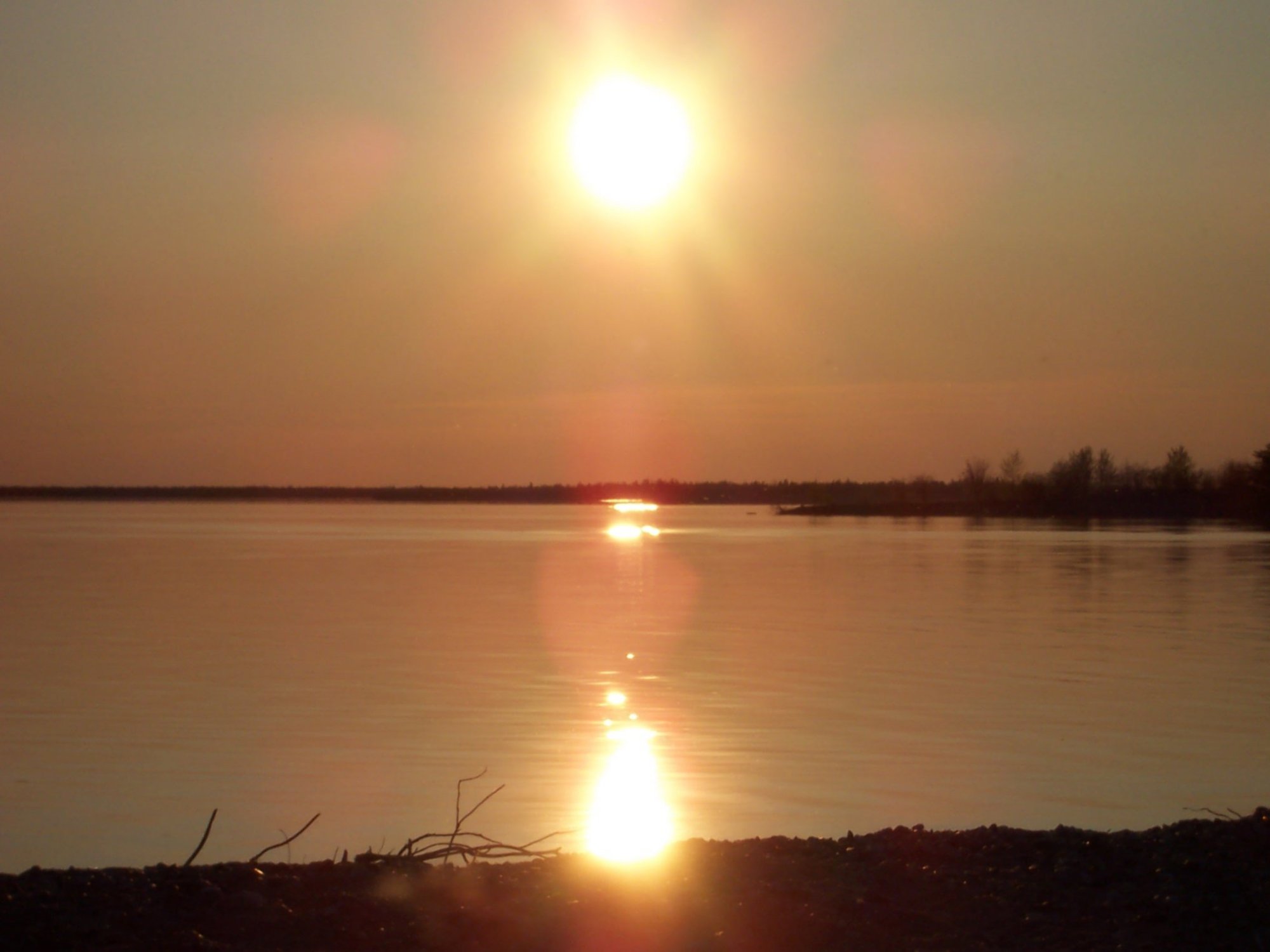
Stephens Lake
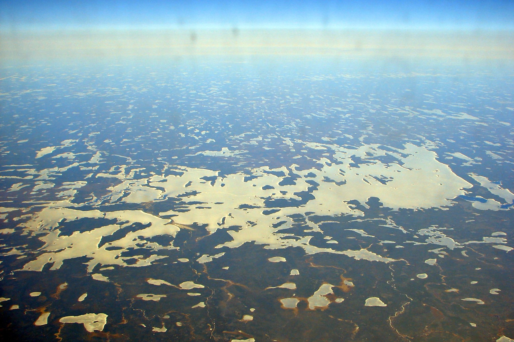
Wunnummin Lake
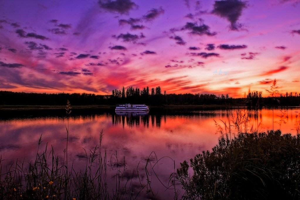
Sturgeon Lake
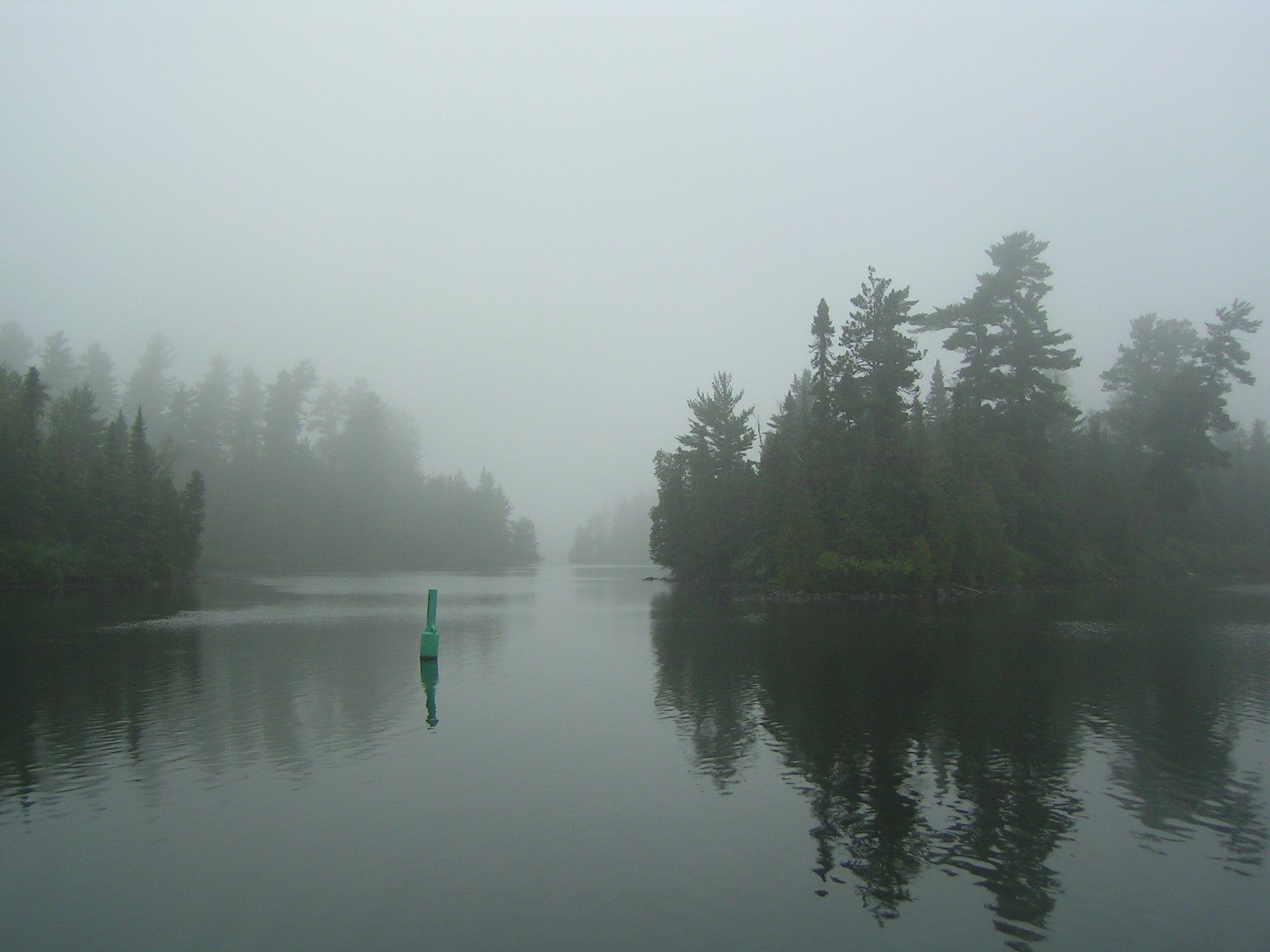
Lake Temagami
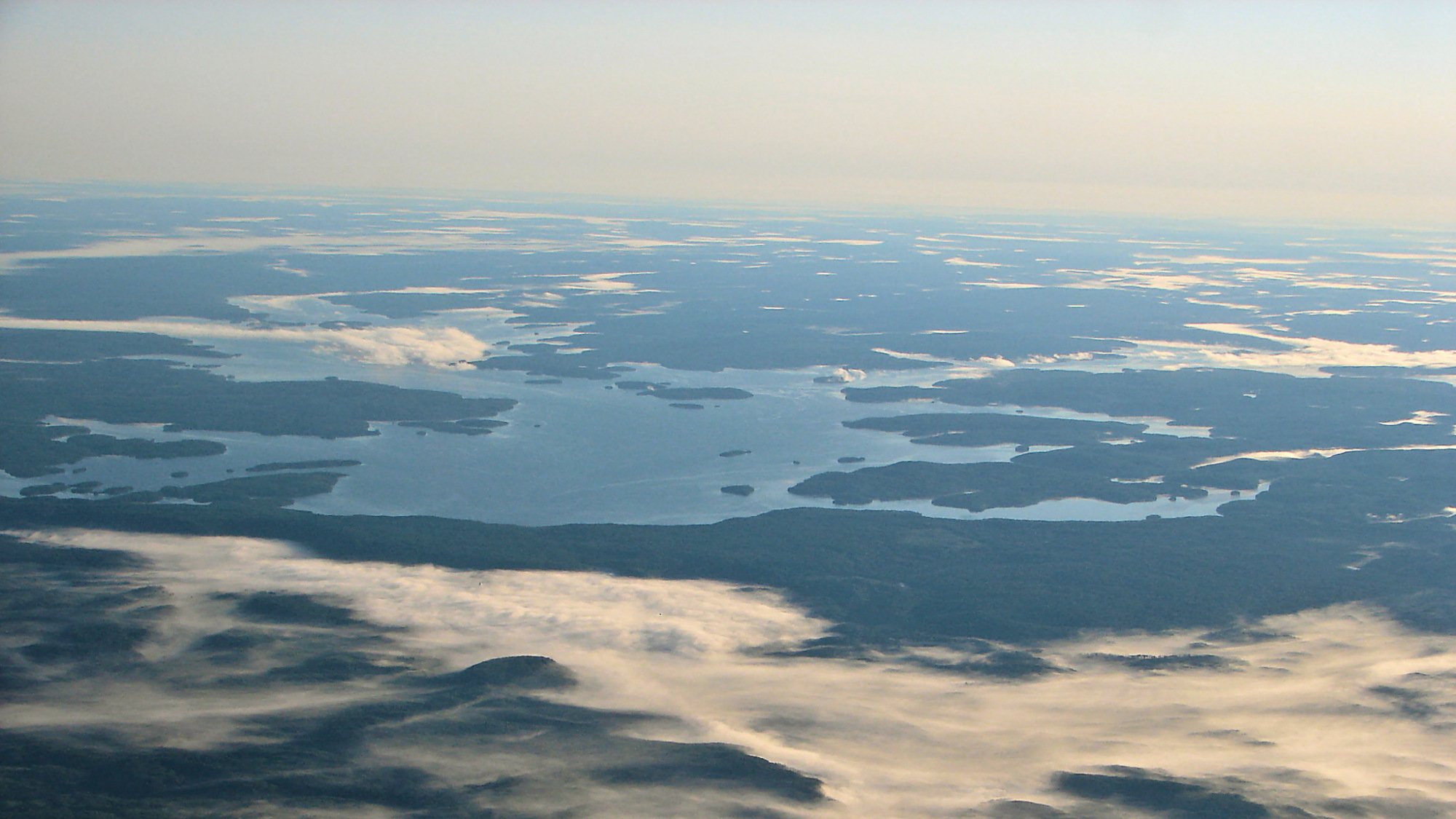
Dog Lake
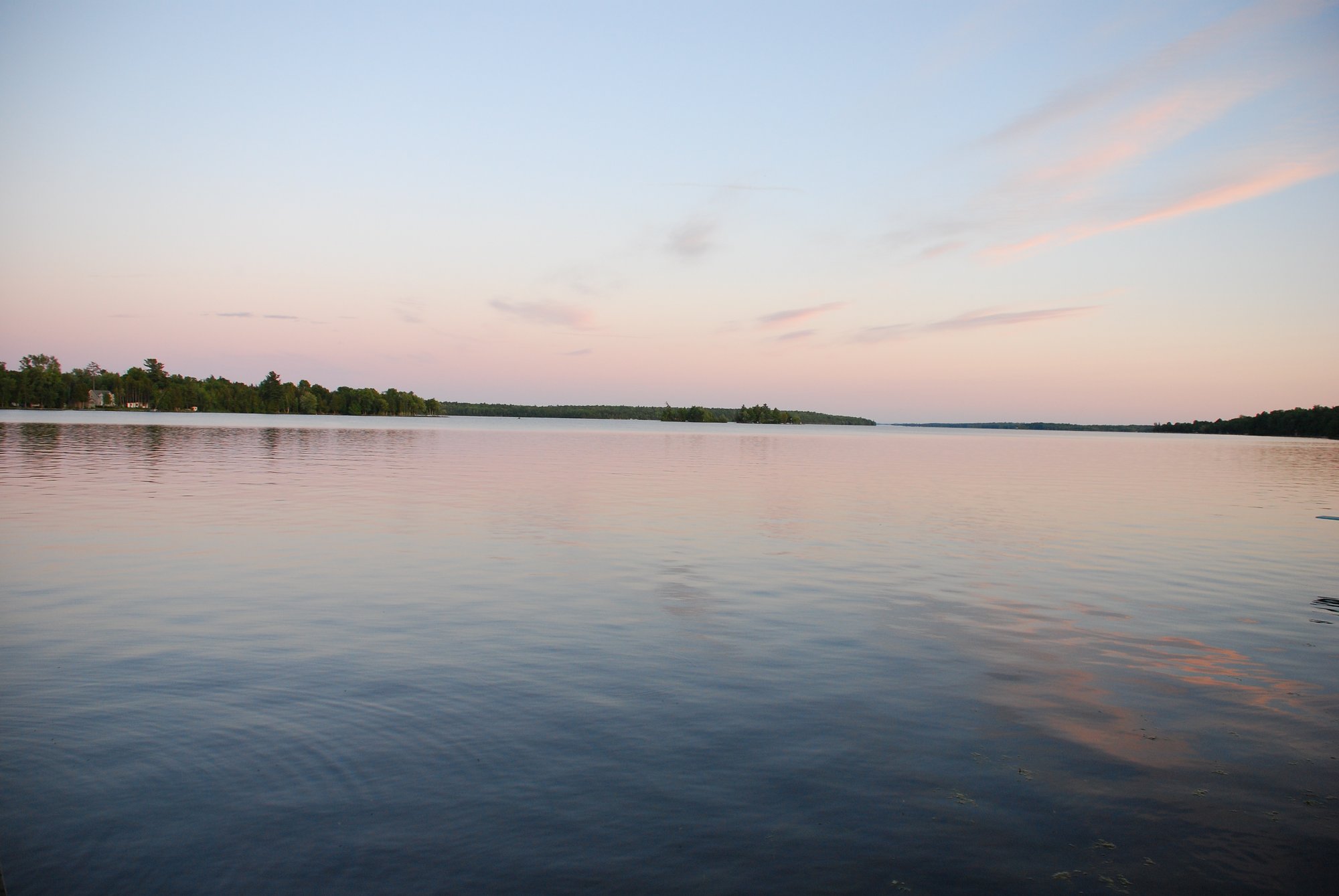
Pigeon Lake
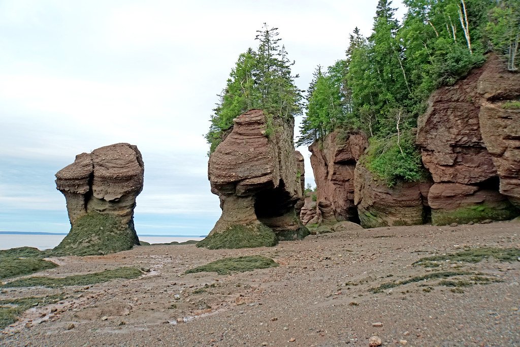
Bay of Fundy
Explore Qc waters
Top paddling waters
No waters available right now.
Popular Cities
Loading popular cities...
Explore near Lacs des Loups Marins

Smarter Paddling Starts in the App.
Paddleways gives you everything you need to plan smarter, paddle better, and own every trip from first launch to takeout.