Dog Lake
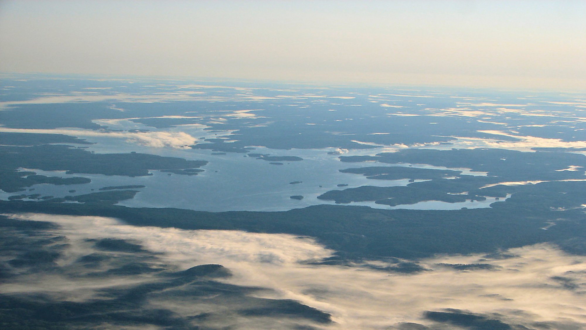
Dog Lake
- Boat Ramps
- 6
- Access Points
- 0
- Campsites
- 1
There are two notable Dog Lakes in Ontario that paddlers may encounter, and they are distinct water bodies in different regions of the province.
The Dog Lake near Wawa is part of a well-established multi-day canoe route with historical significance. The route runs from Dog Lake through Manitowik and Whitefish Lakes, then continues along the Michipicoten River to Lake Superior, covering a journey typically completed in three to five days. This corridor formed part of the historical trade and transportation route connecting Lake Superior to James Bay.
Paddlers on this route can find pictographs on Dog Lake itself, and the abandoned Hudson Bay Post located adjacent to Buck's Marina on the Michipicoten River is accessible along the way. The area offers good wildlife viewing opportunities throughout the route.
The Dog Lake located approximately 30 miles northwest of Thunder Bay is a substantially larger lake, covering roughly 13,000 acres with 120 miles of shoreline not counting islands. It reaches a maximum depth of 245 feet and has a mean depth of 41.3 feet.
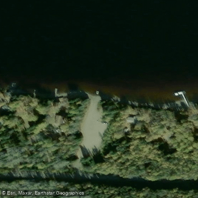
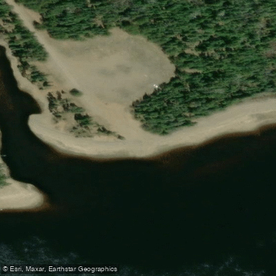
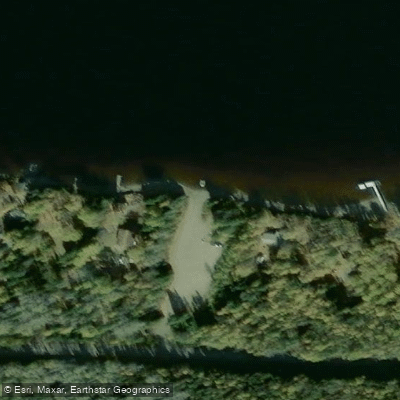
Silver Falls Provincial Park provides the primary access point, with a boat ramp available there. To reach the park, take Highway 102 west to Silver Falls Road, then north to Dog Lake. The park includes a 54-site campground, parking, toilets, swimming areas, and hiking trails.
The lake and surrounding park are noted for glacial features formed over the past 10,000 years, including the Dog Lake moraine, kettle terraces, spillways, and outwash deposits. Five resorts on the lake offer additional services including cabins and boats. The lake's considerable size and depth should be factored into trip planning, as large open water can generate significant wave action in wind.
Water access, boat ramps & amenities
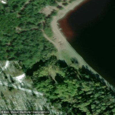
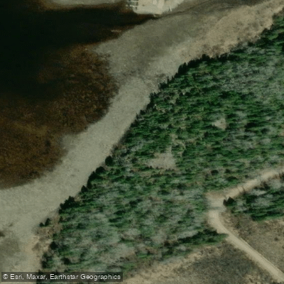
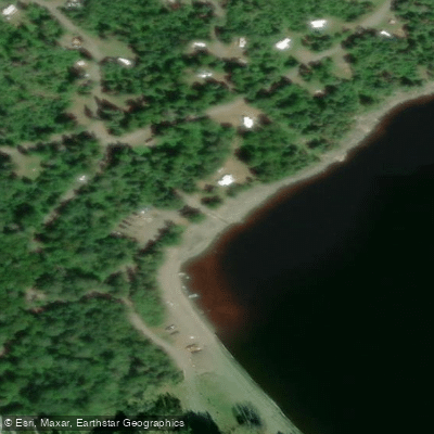
Learn how to get on Dog Lake. Uncover great paddling access points, boat ramps, and all the facilities you need for an unforgettable day on the water. Some locations shown may border or include private property. Always check property boundaries and applicable regulations before visiting. PaddleWays's Public & Private Land layer can help you plan your access with confidence.
Paddle smarter with real-time insights
Whether you're en route and conditions shift or you're looking for the best spot based on current flows, we enable you to make informed decisions on the fly.








Find Places to Paddle

Over 400,000 Places to Paddle
Every user gets free access to launch points, boat ramps, and public property parcels.


Water and weather conditions (10 day forecast)
See the best times to paddle Dog Lake and check the forecast before you go.
No forecast data available.
Paddling near Dog Lake
Red River

Assiniboine River
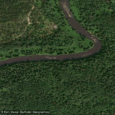
Whitemouth River
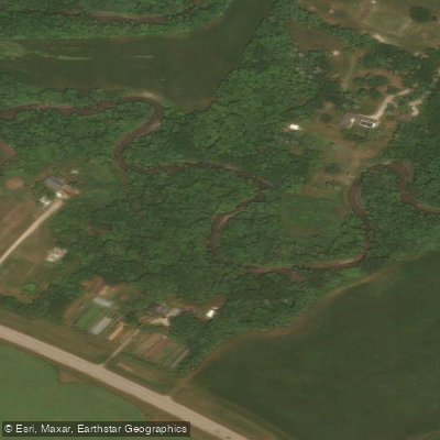
Rivière Seine
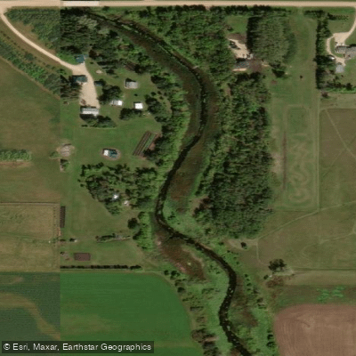
Cooks Creek
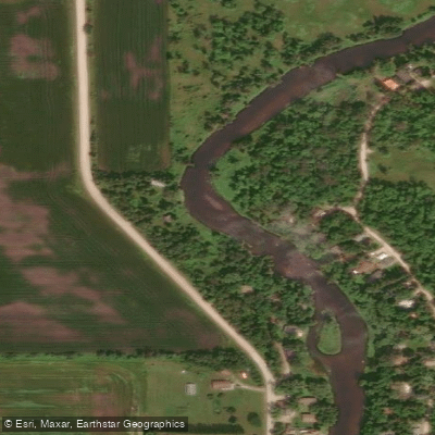
Brokenhead River
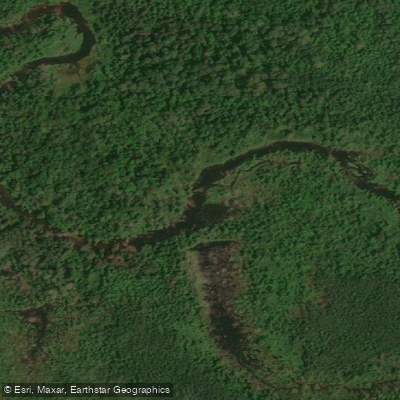
Hazel Creek
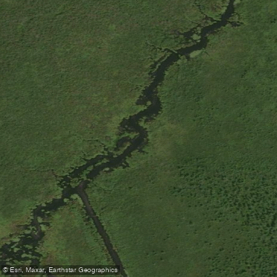
Bog River
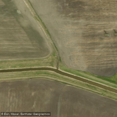
Sturgeon Creek
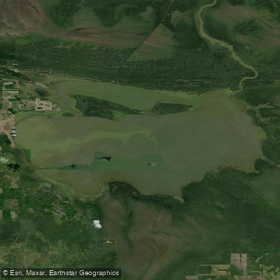
Whitemouth Lake
Explore On waters
Top paddling waters
No waters available right now.
Popular Cities
Loading popular cities...
Explore near Dog Lake
Access points
Nearby waters
More in On

Smarter Paddling Starts in the App.
Paddleways gives you everything you need to plan smarter, paddle better, and own every trip from first launch to takeout.