Plage de Longueuil
- Saltwater
- Beach
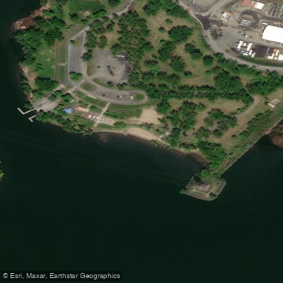
Plage de Longueuil
- Saltwater
- Beach
- Sq. miles
- 0
- Boat Ramps
- 0
- Access Points
- 0
- Campsites
- 0
Plage de Longueuil is a municipal beach located on Île Charron within the urban agglomeration of Longueuil, Canada, on the shores of the Saint Lawrence River. This is a developed, urban beach primarily designed for swimming and sunbathing, which opened in 2016 and can see significant public use, having hosted nearly 25,000 visitors in one past summer. For paddlers, the beach provides direct shore access to the Saint Lawrence River. The main launch and take-out point is the beach itself, though paddlers should be aware that high water levels in the river can significantly impact accessibility. In the past, exceptionally high water levels have forced the closure or required reconfiguration of the beach area, sometimes reducing the usable zone. The Saint Lawrence River at this point is a large, powerful waterway, and paddlers must be prepared for its conditions, including strong currents and potential for wind-driven waves. People launching small craft have lost control in the river, underscoring the need for experience and caution. The water body's aesthetic is that of an urban riverfront, and paddlers can expect views of the Montreal skyline and the surrounding islands. The best season for paddling is summer, though water levels are typically highest in late spring and early summer, which can affect beach access. No specific paddling routes, water temperatures, water quality details, or on-site facilities for paddlers are provided.
Water access, boat ramps & amenities
Learn how to get on Plage de Longueuil. Uncover great paddling access points, boat ramps, and all the facilities you need for an unforgettable day on the water. Some locations shown may border or include private property. Always check property boundaries and applicable regulations before visiting. PaddleWays's Public & Private Land layer can help you plan your access with confidence.
Paddle smarter with real-time insights
Whether you're en route and conditions shift or you're looking for the best spot based on current flows, we enable you to make informed decisions on the fly.







Qc licenses and regulations
No licenses or regulations available for Qc.
Find Places to Paddle

Over 400,000 Places to Paddle
Every user gets free access to launch points, boat ramps, and public property parcels.


Tides, wind & water conditions (10 day forecast)
On open water, wind and tide matter as much as the weather. See the best times to paddle Plage de Longueuil and check the marine forecast before you launch.
Loading tide predictions…
Paddling near Plage de Longueuil
Fleuve Saint-Laurent
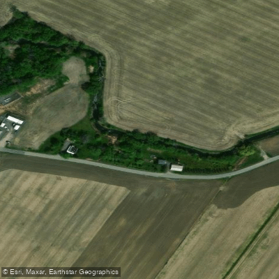
Rivière de la Tortue
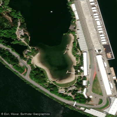
Plage Jean-Doré
Rivière Richelieu
Rivière des Prairies
Rivière des Mille Îles
Rivière L'Assomption
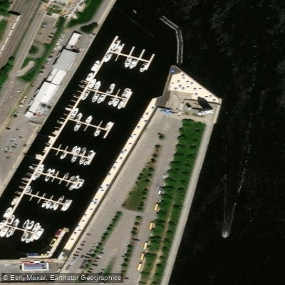
Plage de l'Horloge

Ottawa River
Explore Qc waters
Top paddling waters
No waters available right now.
Popular Cities
Loading popular cities...
Explore near Plage de Longueuil

Smarter Paddling Starts in the App.
Paddleways gives you everything you need to plan smarter, paddle better, and own every trip from first launch to takeout.