Rivière du Nord
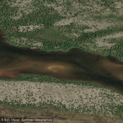
Rivière du Nord
- Boat Ramps
- 0
- Access Points
- 0
- Campsites
- 0
The Rivière du Nord flows through the Laurentians region of Quebec, passing through the communities of Val Morin and Val-David. The river is fairly shallow with a sandy bottom, and paddlers should be aware of rocky shoals and the occasional deadhead lurking beneath the surface. The corridor includes some cottage development alongside stretches of wilder shoreline, with ducks and other waterfowl commonly encountered along the way.
One documented route begins at a kayak launch in Val Morin and follows the river approximately three kilometers to Lac Raymond. This stretch is generally manageable, though water levels can vary seasonally — at exceptionally low levels, paddlers may need to drag their craft through shallower sections. August conditions have been reported as adequate for paddling without dragging. Beaches along this stretch are scarce; there is reportedly only one spot with meaningful beach space, so paddlers should take advantage of it when they encounter it.
Canoe and kayak rentals are available in Val-David through a local outfitter operating on the river, making the Rivière du Nord accessible to paddlers without their own equipment. Parc Rivière du Nord provides paddling infrastructure including a boat ramp, campsites, picnic shelter, picnic tables, and free parking, with wheelchair-accessible facilities also noted at the park. The area is situated near hiking trails, which may be of interest to paddlers looking to combine activities during a visit to the Laurentians.
Water access, boat ramps & amenities
Learn how to get on Rivière du Nord. Uncover great paddling access points, boat ramps, and all the facilities you need for an unforgettable day on the water. Some locations shown may border or include private property. Always check property boundaries and applicable regulations before visiting. PaddleWays's Public & Private Land layer can help you plan your access with confidence.
Paddle smarter with real-time insights
Whether you're en route and conditions shift or you're looking for the best spot based on current flows, we enable you to make informed decisions on the fly.







Qc licenses and regulations
No licenses or regulations available for Qc.
Find Places to Paddle

Over 400,000 Places to Paddle
Every user gets free access to launch points, boat ramps, and public property parcels.


Water and weather conditions (10 day forecast)
See the best times to paddle Rivière du Nord and check the forecast before you go.
No forecast data available.
Paddling near Rivière du Nord
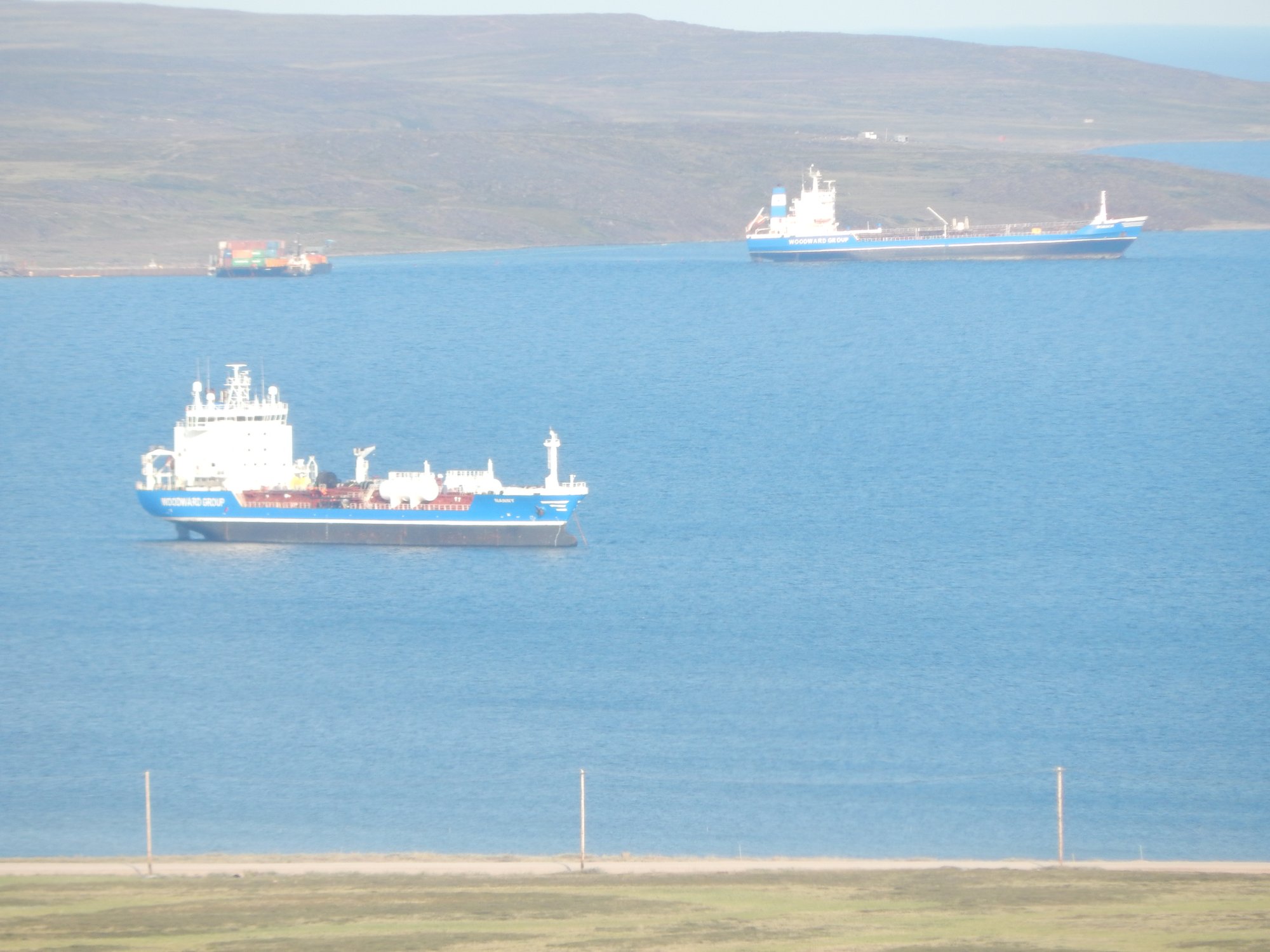
Baker Lake
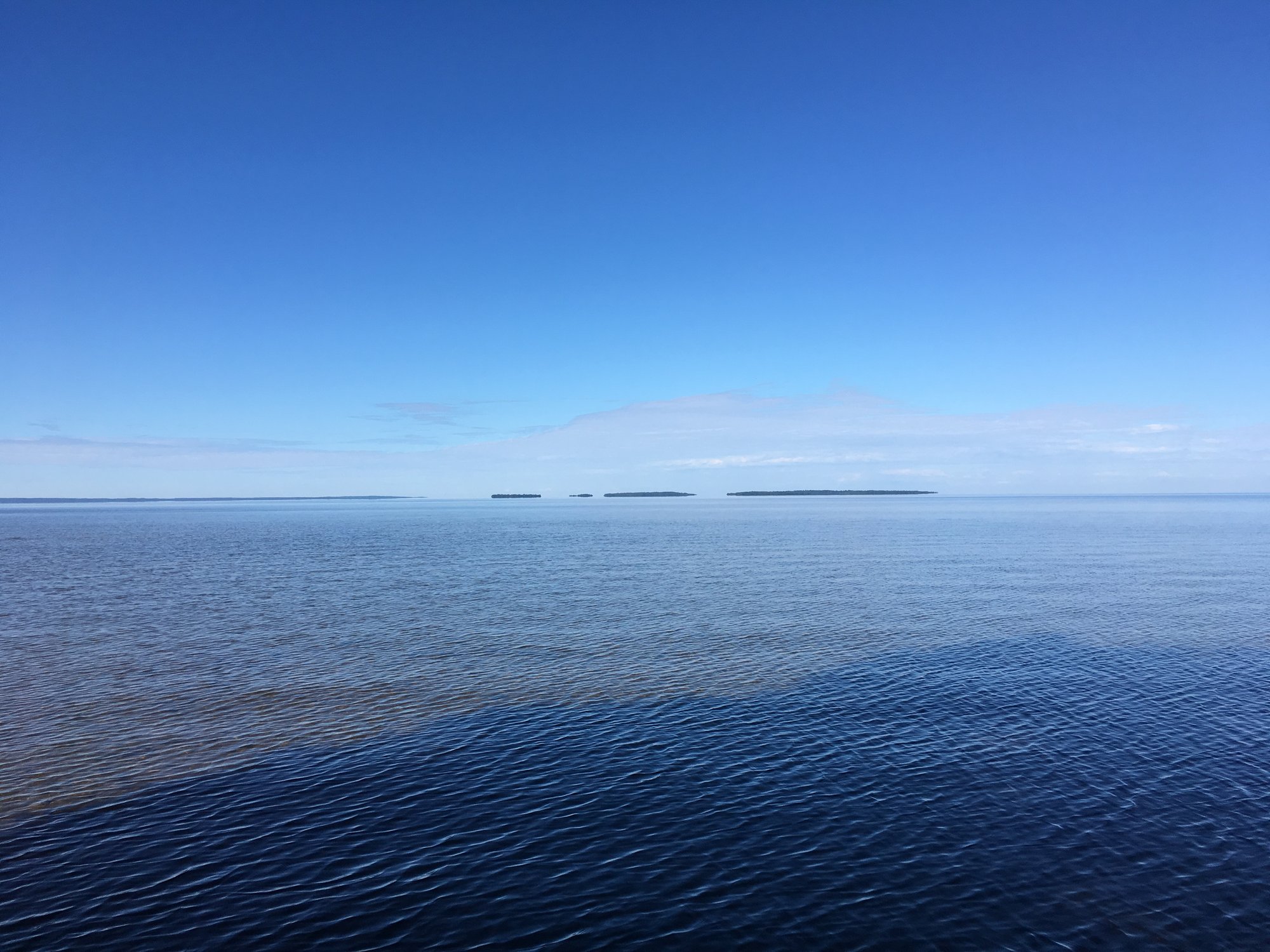
Lac Nipissing
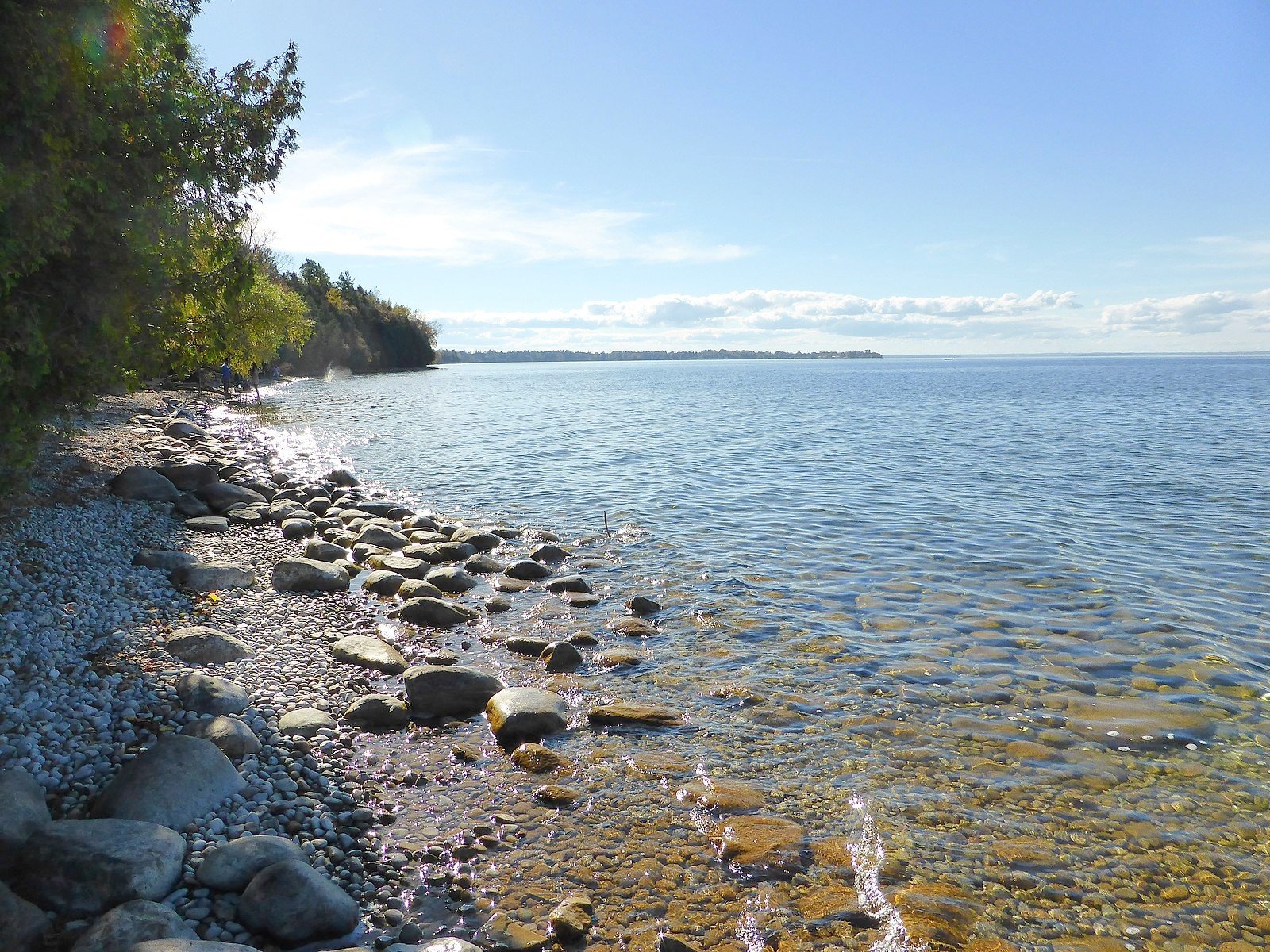
Lake Simcoe
Big Trout Lake
Stephens Lake
Wunnummin Lake
Sturgeon Lake
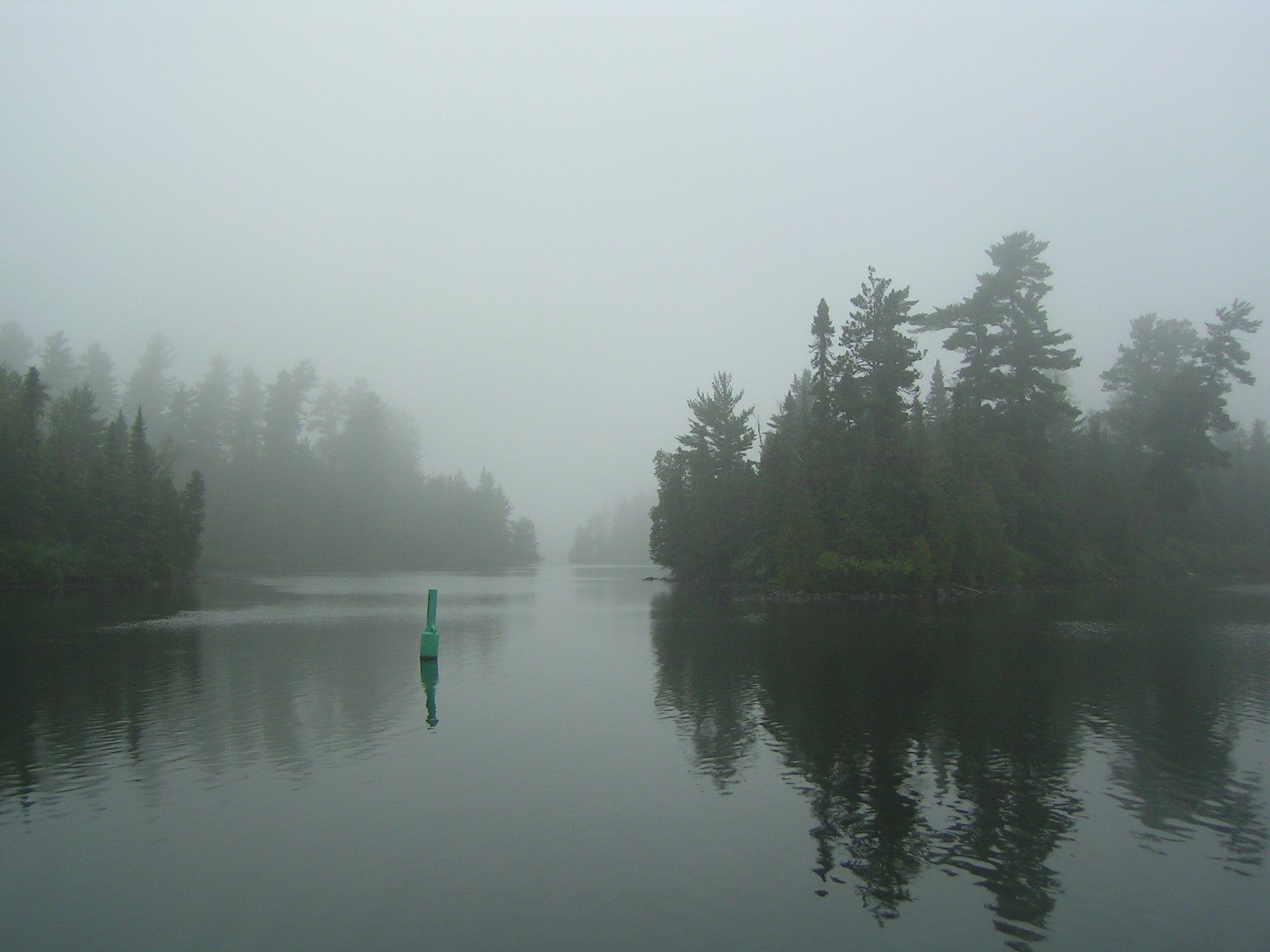
Lake Temagami
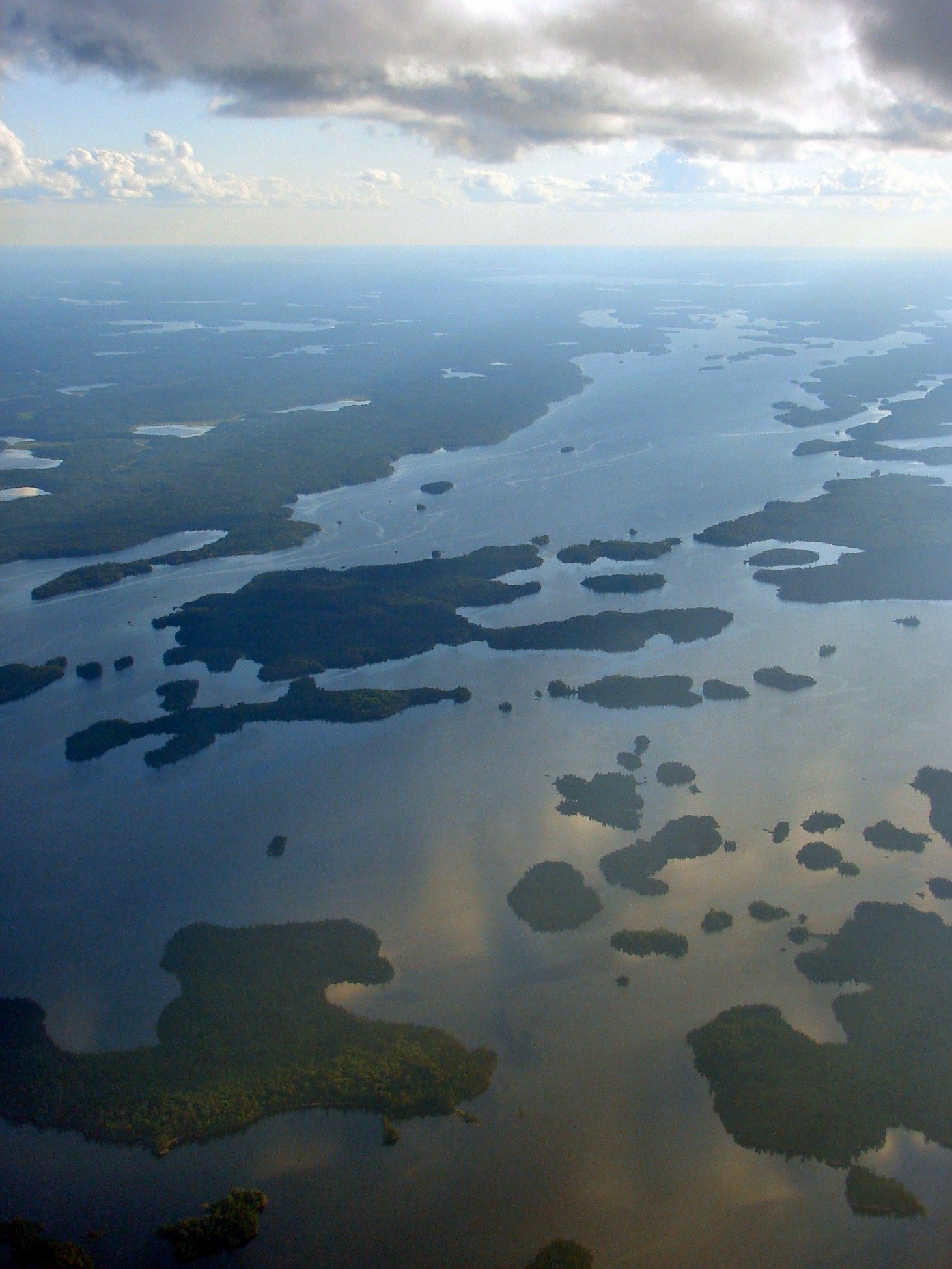
Minnitaki Lake
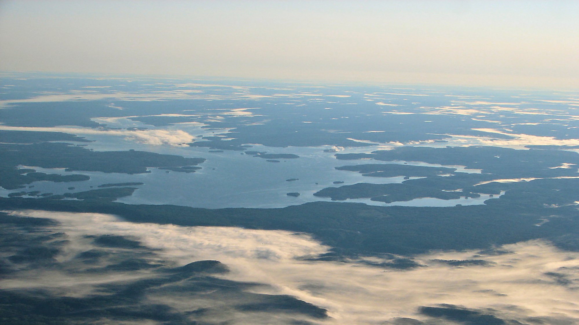
Dog Lake
Explore Qc waters
Top paddling waters
No waters available right now.
Popular Cities
Loading popular cities...
Explore near Rivière du Nord

Smarter Paddling Starts in the App.
Paddleways gives you everything you need to plan smarter, paddle better, and own every trip from first launch to takeout.