Rivière à l'Eau Claire
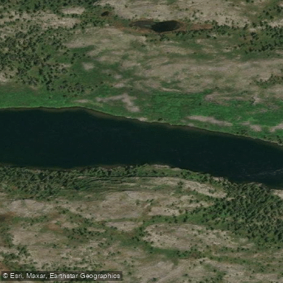
Rivière à l'Eau Claire
- Boat Ramps
- 0
- Access Points
- 0
- Campsites
- 0
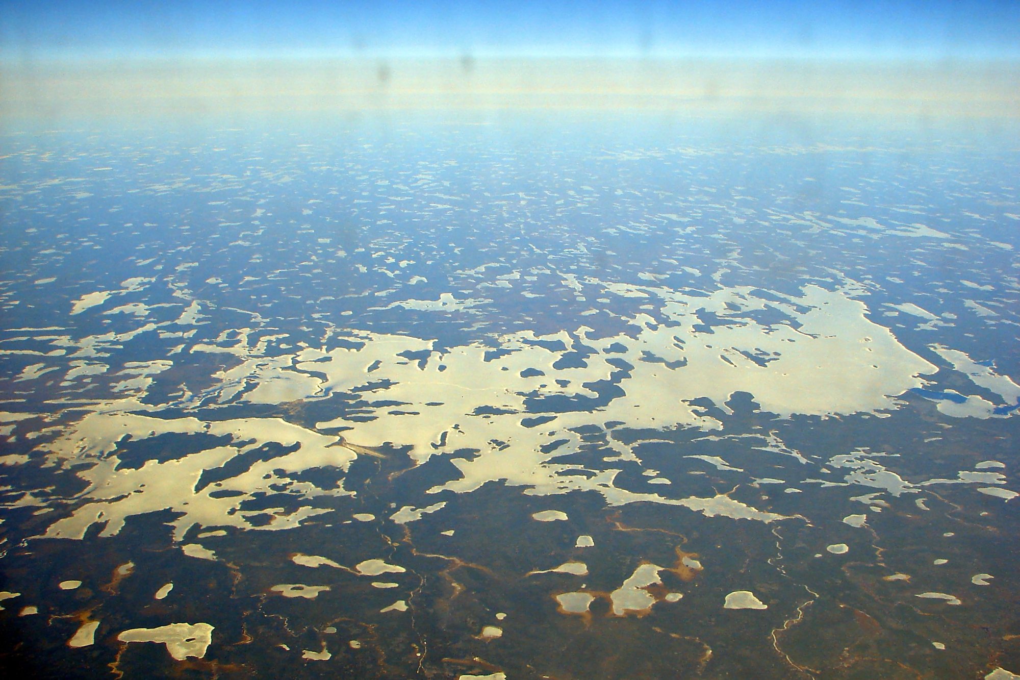
The Rivière à l'Eau Claire flows through Nunavik in northern Quebec, draining toward Richmond Gulf in a landscape shaped by post-glacial drainage patterns. The river's name translates directly as "Clear Water," and it passes through or adjacent to Parc national Tursujuq. The full route is typically accessed beginning from Matagami, with the journey proceeding via Pourvoirie Mirage and Lac à l'Eau Claire before reaching Richmond Gulf.
The river is a multi-day wilderness canoe expedition. The route includes rapids and portages throughout, and paddlers have noted the chaotic, complex nature of the post-glacial drainage terrain. The whitewater character of the river is significant enough that at least one documented party spent a week at a canoe centre specifically for whitewater review before undertaking the trip. This is not a route suited to beginners or those without solid moving-water skills.
Canot Kayak Québec has produced a set of three digital maps covering the entire route, available through the Avenza Maps app at no cost. These maps indicate put-in and take-out points, rapids, portages, camping sites, and other points of interest along the river corridor. The maps were published in October 2022 and cover the Nord-du-Québec region.
Given its location deep in Nunavik, the river is a remote expedition-style destination with no nearby urban infrastructure. Paddlers should plan for full self-sufficiency. The region's subarctic setting means the paddling season is short, concentrated in the summer months when ice-free conditions prevail.
Water access, boat ramps & amenities
Learn how to get on Rivière à l'Eau Claire. Uncover great paddling access points, boat ramps, and all the facilities you need for an unforgettable day on the water. Some locations shown may border or include private property. Always check property boundaries and applicable regulations before visiting. PaddleWays's Public & Private Land layer can help you plan your access with confidence.
Paddle smarter with real-time insights
Whether you're en route and conditions shift or you're looking for the best spot based on current flows, we enable you to make informed decisions on the fly.







Qc licenses and regulations
No licenses or regulations available for Qc.
Find Places to Paddle

Over 400,000 Places to Paddle
Every user gets free access to launch points, boat ramps, and public property parcels.


Water and weather conditions (10 day forecast)
See the best times to paddle Rivière à l'Eau Claire and check the forecast before you go.
No forecast data available.
Paddling near Rivière à l'Eau Claire
Explore Qc waters
Top paddling waters
No waters available right now.
Popular Cities
Loading popular cities...
Explore near Rivière à l'Eau Claire

Smarter Paddling Starts in the App.
Paddleways gives you everything you need to plan smarter, paddle better, and own every trip from first launch to takeout.