Rivière Nastapoka
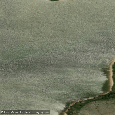
Rivière Nastapoka
- Boat Ramps
- 0
- Access Points
- 0
- Campsites
- 0
The Rivière Nastapoka is a major wilderness river in Nord-du-Québec, flowing approximately 402 kilometres from its source at the Lacs des Loups Marins (Seal Lakes) westward to Hudson Bay, where it empties near the Nastapoka Islands archipelago, about 40 kilometres north of the Inuit village of Umiujaq. Its watershed covers roughly 13,400 square kilometres, making it one of the largest river systems in northern Quebec. The river drops 366 metres over its course, producing a powerful and continuous whitewater character throughout its lower reaches.
The river flows through a sub-Arctic landscape of taiga, rocky eskers, black spruce bogs, and some of the oldest exposed bedrock on Earth. The terrain is semi-barren with varied topography. The entire watershed, including the Seal Lakes, falls within Parc national Tursujuq, designated in 2013 and covering 26,100 square kilometres — one of North America's largest protected areas. There are no roads, signs, marked trails, or established campsites within the park; access is exclusively by floatplane or boat.
Common put-in points involve flying from Radisson or Kuujjuarapik to the Seal Lakes region, with the river proper beginning at the western edge of Seal Lake. Take-out is typically at Umiujaq, from which commercial flights return paddlers to Radisson or other hubs. Full river traverses typically take around 40 days when combined with the lake approach sections.
The paddling character shifts significantly along the route. The upper sections through the Seal Lakes allow for good daily mileage, with paddlers averaging around 48 kilometres per day on moving water. As the river approaches Hudson Bay, rapids increase in both frequency and volume. Smaller drops can often be read and run, while larger ones require lining or portaging. There are nine mandatory portages around falls, including the prominent Twin Falls. High water conditions can open additional lines through Class II and Class III drops that would otherwise require portaging.
The river mouth and coastal area support beluga whales, freshwater seals, and Atlantic salmon. The Seal Lakes are home to a landlocked population of freshwater seals. The remoteness of the route, combined with the absence of infrastructure, means paddlers must be fully self-sufficient. A satellite phone and GPS messenger are considered standard equipment. Trip logistics require advance planning for floatplane charters and freight transport of canoes.
Water access, boat ramps & amenities
Learn how to get on Rivière Nastapoka. Uncover great paddling access points, boat ramps, and all the facilities you need for an unforgettable day on the water. Some locations shown may border or include private property. Always check property boundaries and applicable regulations before visiting. PaddleWays's Public & Private Land layer can help you plan your access with confidence.
Paddle smarter with real-time insights
Whether you're en route and conditions shift or you're looking for the best spot based on current flows, we enable you to make informed decisions on the fly.







Qc licenses and regulations
No licenses or regulations available for Qc.
Find Places to Paddle

Over 400,000 Places to Paddle
Every user gets free access to launch points, boat ramps, and public property parcels.


Water and weather conditions (10 day forecast)
See the best times to paddle Rivière Nastapoka and check the forecast before you go.
LOUPS MARINS (LAC DES) DANS LE BASSIN VERSANT DE LA RIVIERE NASTAPOCA
Paddling near Rivière Nastapoka
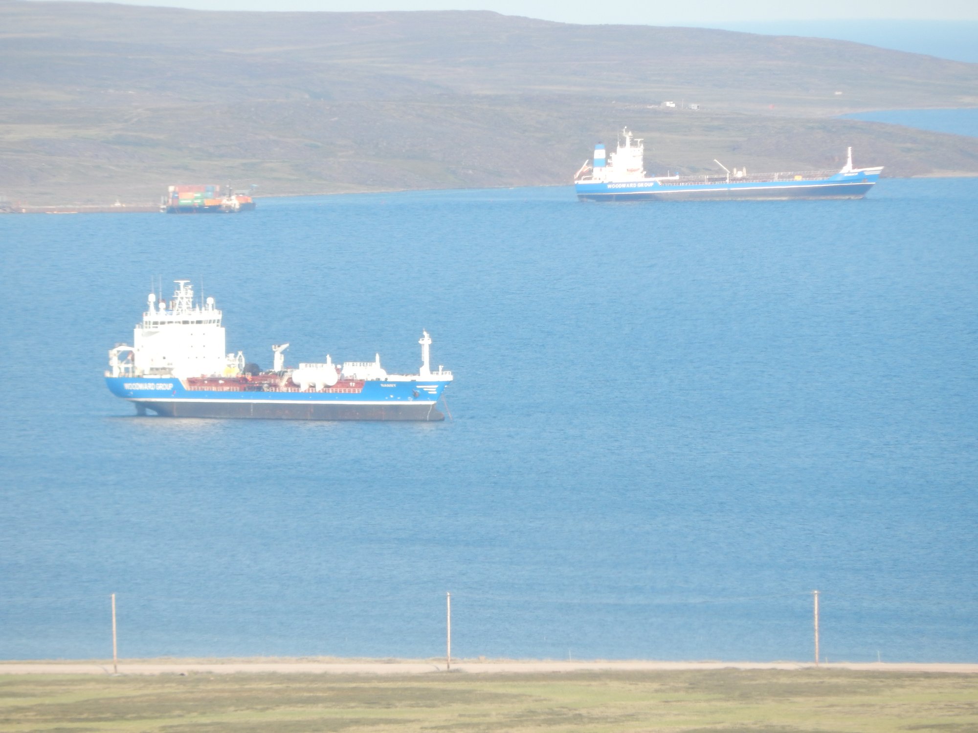
Baker Lake
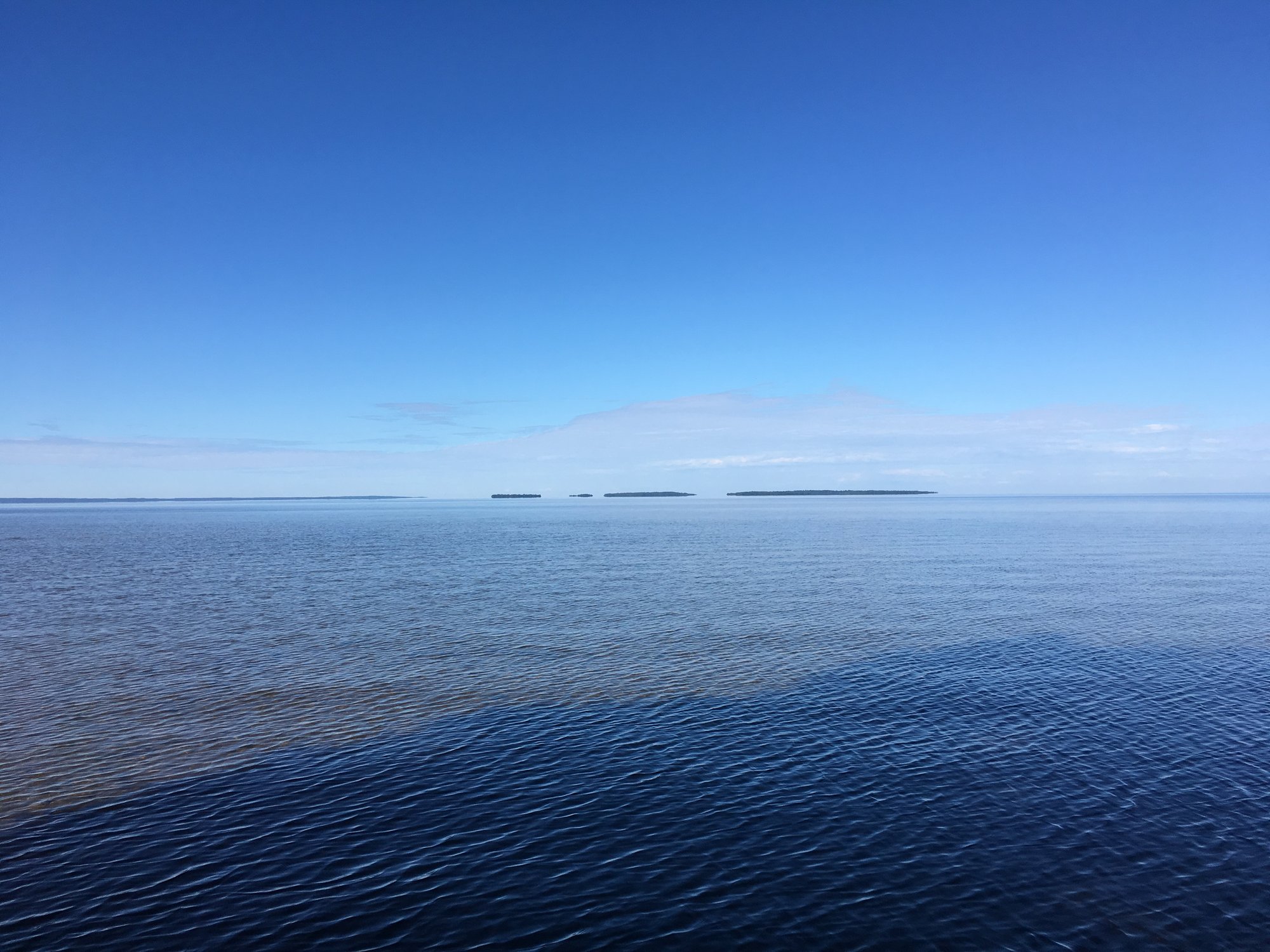
Lac Nipissing
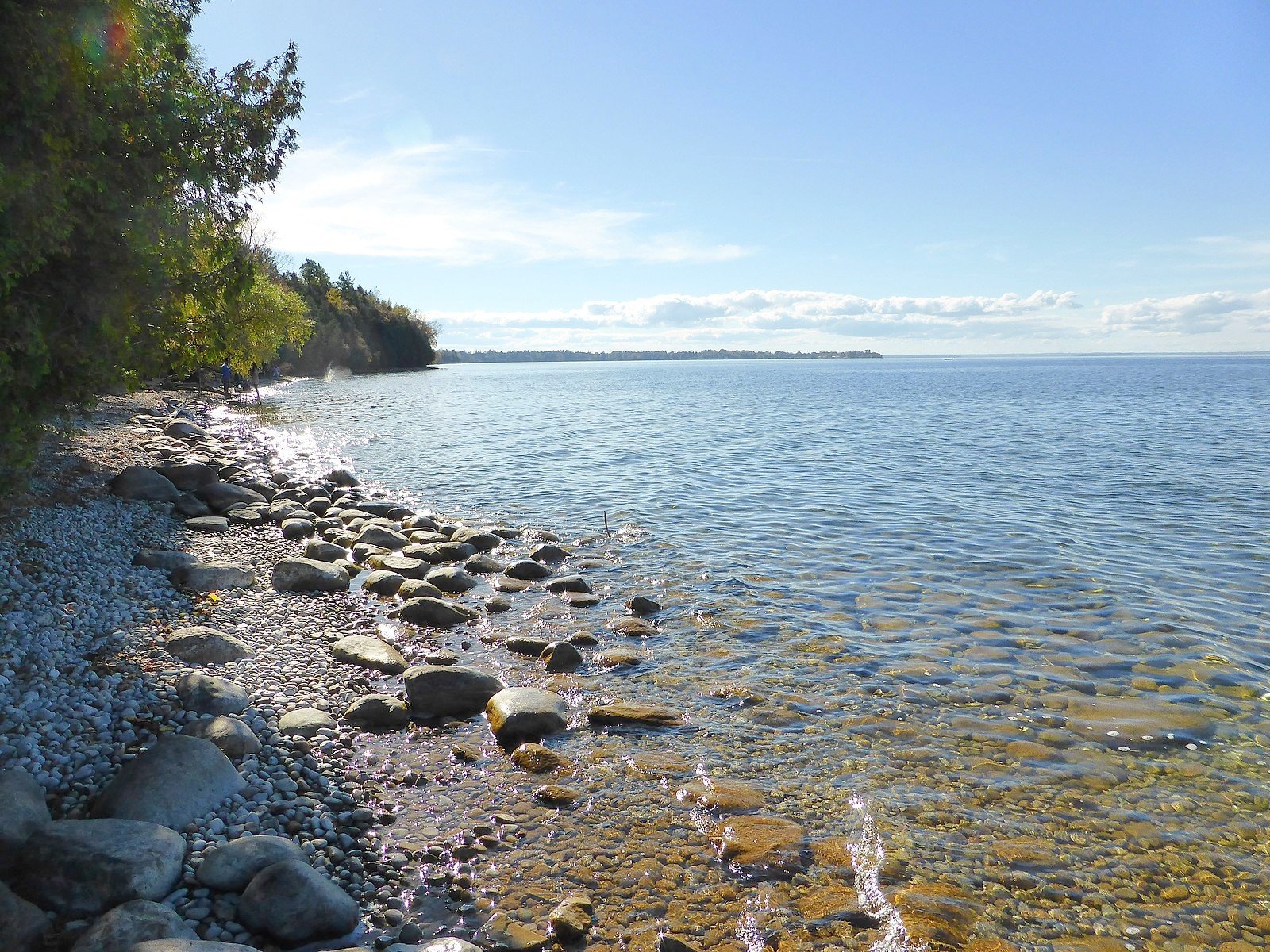
Lake Simcoe
Big Trout Lake
Stephens Lake
Wunnummin Lake
Sturgeon Lake
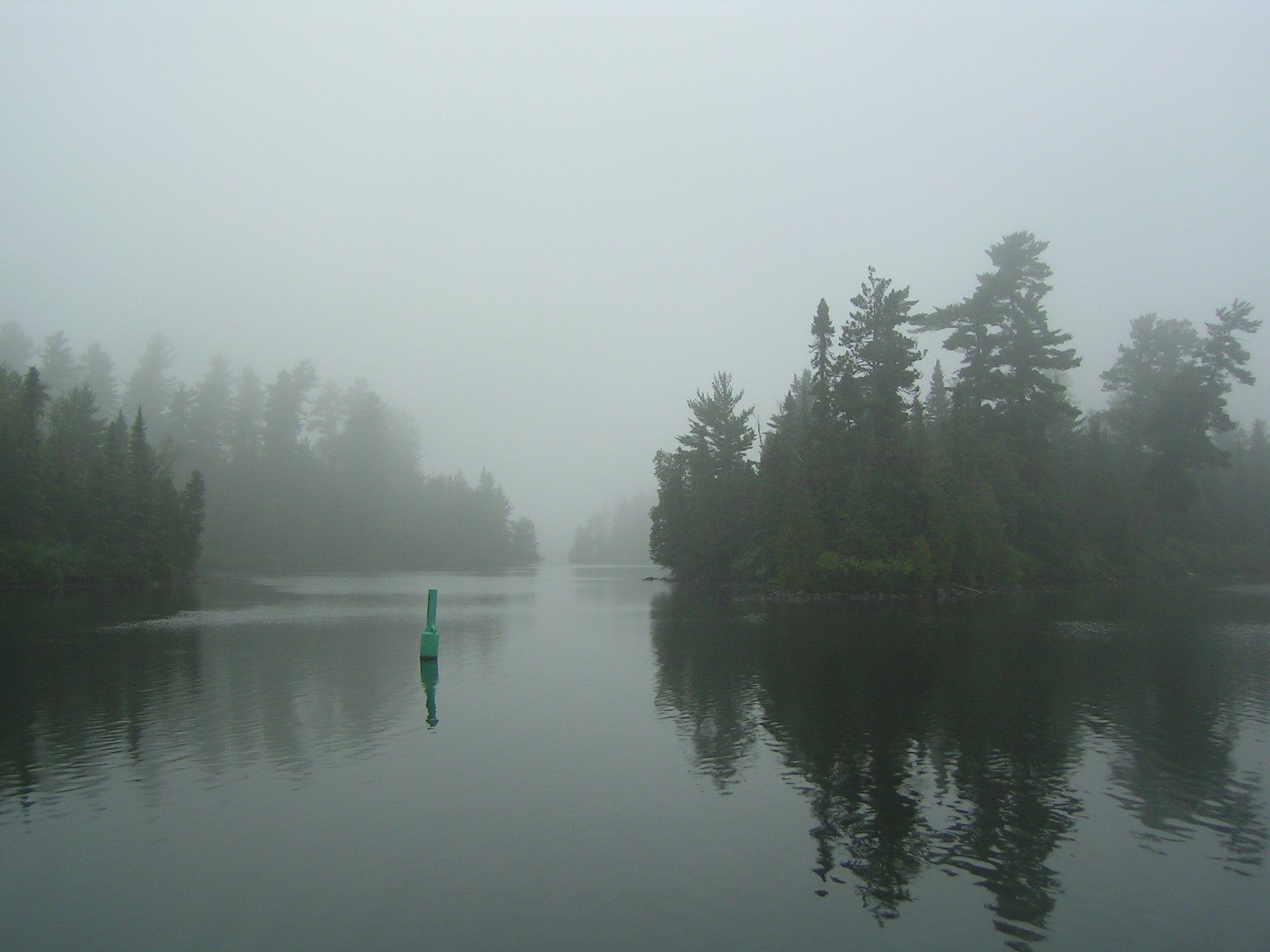
Lake Temagami
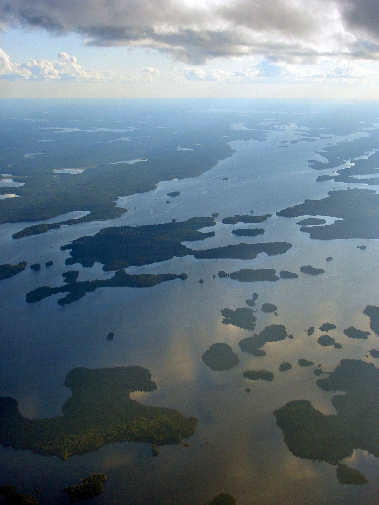
Minnitaki Lake
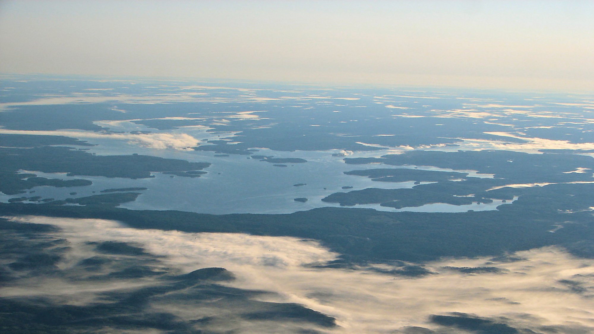
Dog Lake
Explore Qc waters
Top paddling waters
No waters available right now.
Popular Cities
Loading popular cities...
Explore near Rivière Nastapoka

Smarter Paddling Starts in the App.
Paddleways gives you everything you need to plan smarter, paddle better, and own every trip from first launch to takeout.