Rivière Vachon
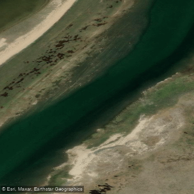
Rivière Vachon
- Boat Ramps
- 0
- Access Points
- 0
- Campsites
- 0
The Rivière Vachon flows through the Arctic tundra of Nunavik in northern Quebec, covering approximately 266 kilometres from its source at Lac Laflamme (also known as Manarsulik Lake) at an elevation of 487.5 metres down to its confluence with the Arnaud/Payne River at just 5 metres elevation. The river's Inuktitut name, Ikkatujaaq, translates roughly as "seemingly shallow," though the character of the river belies any suggestion of easy passage.
The Vachon is considered an expedition-level undertaking. Access and paddling difficulties are significant, with long rapids and ledges throughout the descent, compounded by extreme climatic conditions typical of the Nunavik region. The river is only occasionally paddled by canoeists, and it remains one of the more remote and demanding routes in Quebec. Safety protocols specific to the Vachon have been documented through Canadian canoe route resources.
A commonly referenced expedition combines the Vachon with surrounding terrain: an initial roughly 30-kilometre section traversing a chain of small lakes near the Pingualuit crater, followed by approximately 200 kilometres descending the Vachon itself, and concluding with a roughly 70-kilometre crossing of the Kangirsuk fjord to reach the Inuit village of Kangirsuk. The Pingualuit crater, located near the headwaters, is one of the best-preserved meteorite impact craters in the world, nearly perfectly circular at 3.2 kilometres in diameter and estimated at 1.4 million years old.
The river supports a significant Arctic char population, which is harvested for subsistence by the Inuit community of Kangirsuk. The river was named after Bishop Alexander Vachon (1885–1953), rector of Laval University and later Archbishop of Ottawa.
Water access, boat ramps & amenities
Learn how to get on Rivière Vachon. Uncover great paddling access points, boat ramps, and all the facilities you need for an unforgettable day on the water. Some locations shown may border or include private property. Always check property boundaries and applicable regulations before visiting. PaddleWays's Public & Private Land layer can help you plan your access with confidence.
Paddle smarter with real-time insights
Whether you're en route and conditions shift or you're looking for the best spot based on current flows, we enable you to make informed decisions on the fly.







Qc licenses and regulations
No licenses or regulations available for Qc.
Find Places to Paddle

Over 400,000 Places to Paddle
Every user gets free access to launch points, boat ramps, and public property parcels.


Water and weather conditions (10 day forecast)
See the best times to paddle Rivière Vachon and check the forecast before you go.
No forecast data available.
Paddling near Rivière Vachon
Frobisher Bay
Koojesse Inlet
Peterhead Inlet
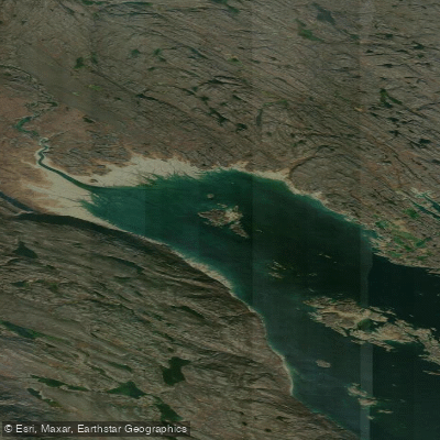
Foul Inlet
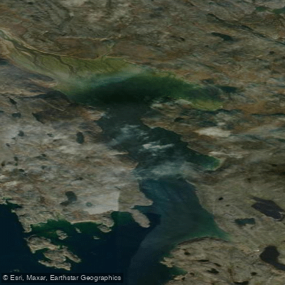
ᑕᓯᐅᔭᕐᔪᐊᓛᖅ Burton Bay
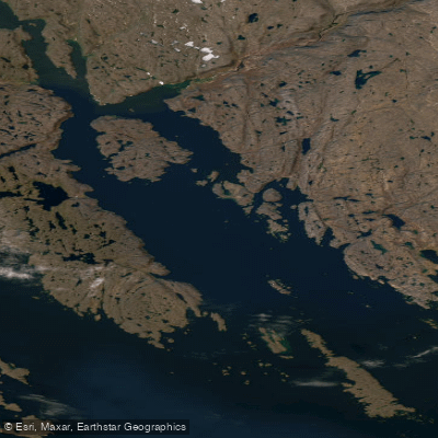
Ward Inlet
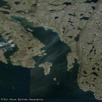
ᐱᑦᓯᐅᑉ ᑲᖏᖅᑐᖓ Lewis Bay
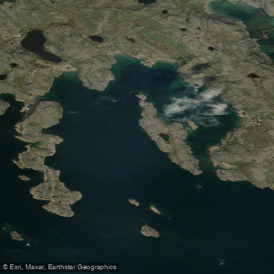
Porter Inlet
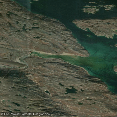
Bay of Two Rivers
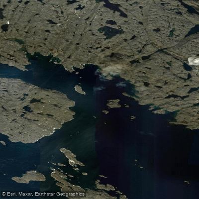
Wayne Bay
Explore Qc waters
Top paddling waters
No waters available right now.
Popular Cities
Loading popular cities...
Explore near Rivière Vachon

Smarter Paddling Starts in the App.
Paddleways gives you everything you need to plan smarter, paddle better, and own every trip from first launch to takeout.