Lago Calafquén
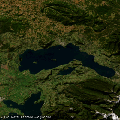
Lago Calafquén
- Boat Ramps
- 0
- Access Points
- 0
- Campsites
- 11
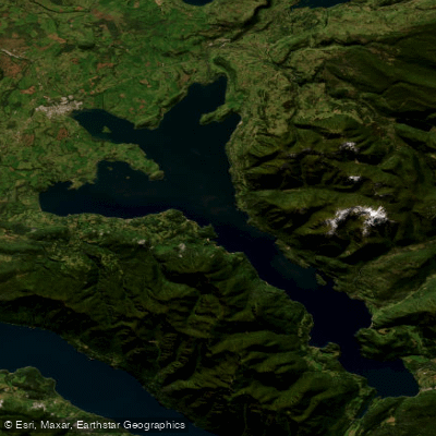
Lago Calafquén straddles the border between the La Araucanía Region and Los Ríos Region in southern Chile, forming part of the drainage basin of the Valdivia River. It is one of the Seven Lakes of the Los Ríos circuit, a scenic route that also includes Pullinque, Panguipulli, Neltume, Pirihueico, Pellaifa, and Riñihue. The lake is glacial in origin, dammed by moraine, and sits at coordinates 39°31′S, 72°09′W. It stretches approximately 25 kilometers in length and 7.7 kilometers at its widest point, covering a surface area of 114.9 square kilometers with a shoreline of roughly 122 kilometers. The average depth is 115 meters, reaching a maximum of 212 meters, making it a substantial and deep body of water. The Villarrica Volcano lies to the north of the lake and is visible from the surrounding area.
The primary inflow is the Llancahue River, and the lake drains via the Pullinque River. The name derives from Mapudungun and is variously translated as "lake like a sea" or "another lake," reflecting its considerable size.
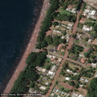
The towns of Lican Ray, Coñaripe, and Calafquén are situated on the lake's shores. Coñaripe features a beach nearly 3 kilometers long, described as one of the longest in the Los Ríos Region, and offers cabins and services that support water-based activities including yachting and sport fishing. The lake is noted for relatively warm waters compared to other lakes in the region, which makes it a popular destination for water sports. The surrounding landscape includes Valdivian rainforest and proximity to the Mocho-Choshuenco volcano, and the area carries living Mapuche cultural heritage, with local crafts and Chilean-Mapuche fusion cuisine available in the lakeside towns.
Water access, boat ramps & amenities
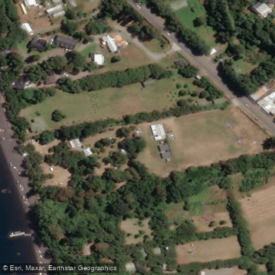
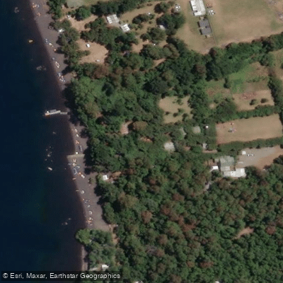
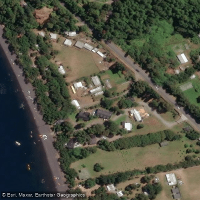
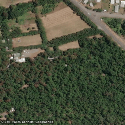
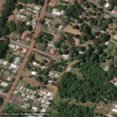
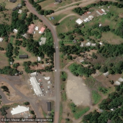
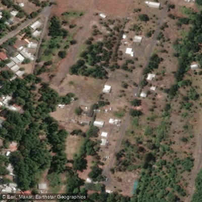
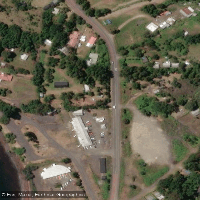
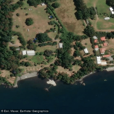
Learn how to get on Lago Calafquén. Uncover great paddling access points, boat ramps, and all the facilities you need for an unforgettable day on the water. Some locations shown may border or include private property. Always check property boundaries and applicable regulations before visiting. PaddleWays's Public & Private Land layer can help you plan your access with confidence.
Paddle smarter with real-time insights
Whether you're en route and conditions shift or you're looking for the best spot based on current flows, we enable you to make informed decisions on the fly.







La Araucanía licenses and regulations
No licenses or regulations available for La Araucanía.
Find Places to Paddle

Over 400,000 Places to Paddle
Every user gets free access to launch points, boat ramps, and public property parcels.


Water and weather conditions (10 day forecast)
See the best times to paddle Lago Calafquén and check the forecast before you go.
No forecast data available.
Paddling near Lago Calafquén
Lago Panguipulli
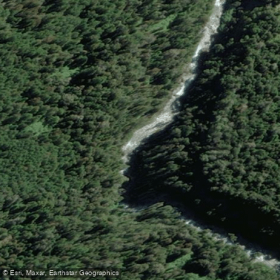
Río Fuy
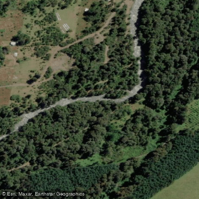
Río Llancahue
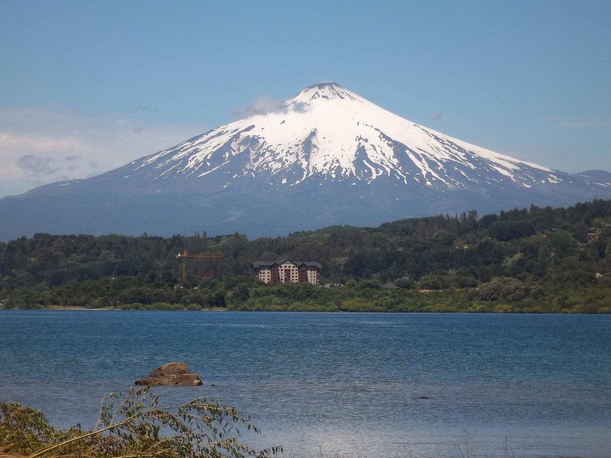
Lago Villarrica

Río Toltén

Río Calle Calle
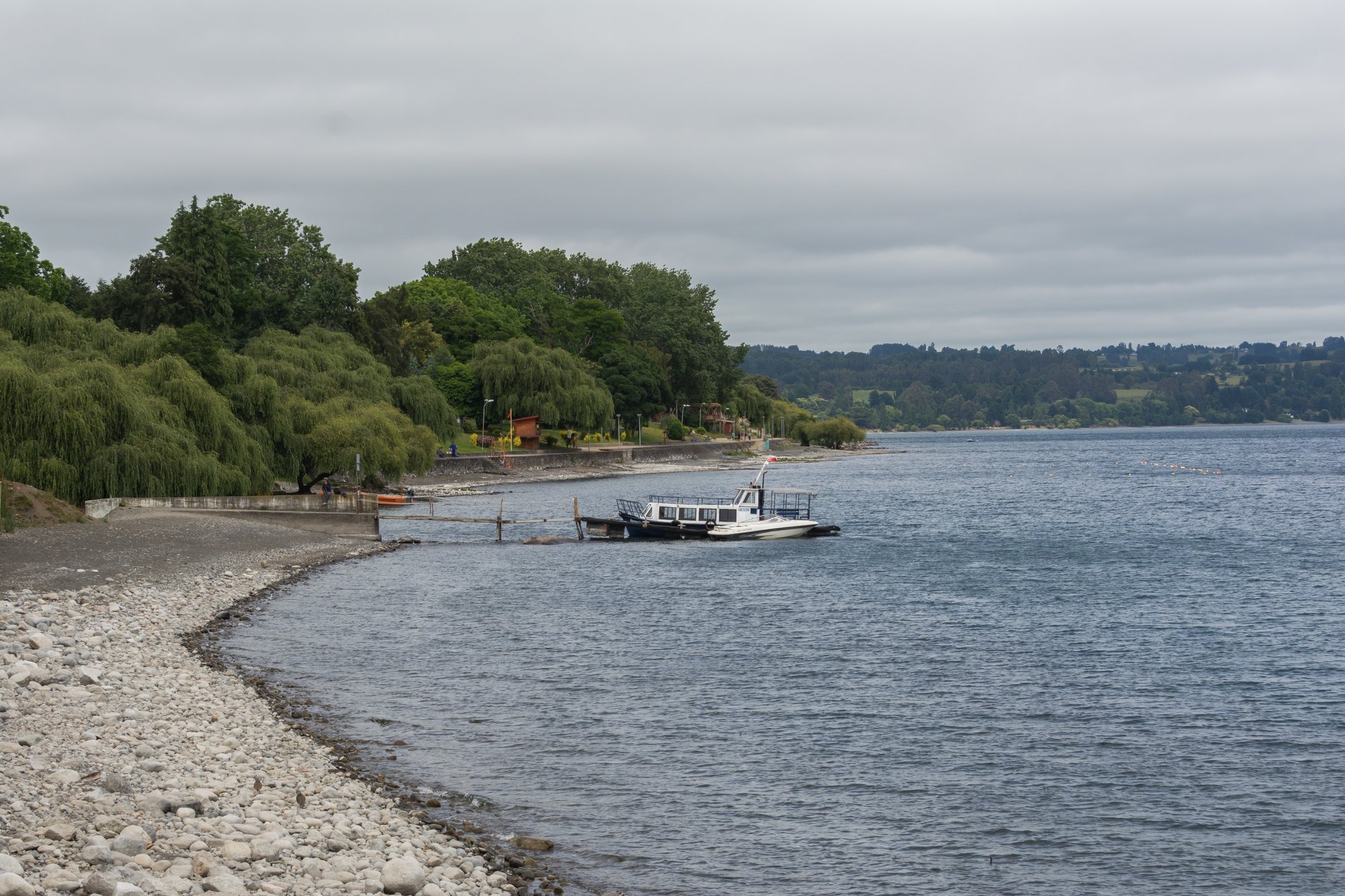
Lago Ranco
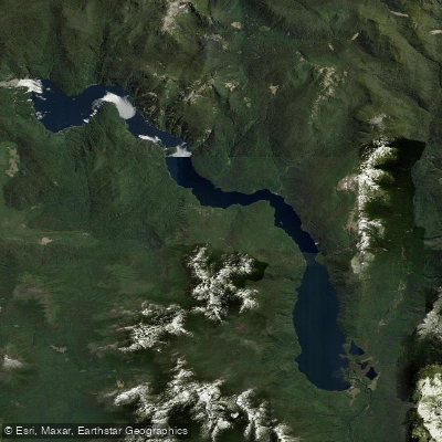
Lago Pirihueico
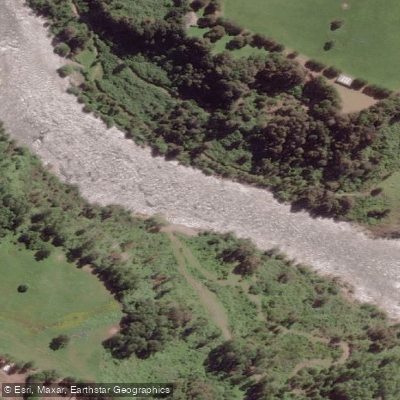
Río San Pedro
Explore La Araucanía waters
Top paddling waters
No waters available right now.
Popular Cities
Loading popular cities...
Explore near Lago Calafquén
Access points
Nearby waters
More in La Araucanía

Smarter Paddling Starts in the App.
Paddleways gives you everything you need to plan smarter, paddle better, and own every trip from first launch to takeout.