Lago Colico
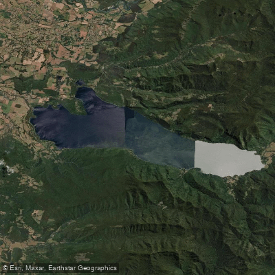
Lago Colico
- Boat Ramps
- 0
- Access Points
- 0
- Campsites
- 2
Lago Colico lies in the Cautín Province of the Araucanía Region at an elevation of 473 meters above sea level, with coordinates centered near 39°05′S 71°58′W. The lake stretches approximately 19 kilometers in length and up to 5 kilometers in width, covering a surface area of about 54.96 square kilometers with a shoreline of roughly 52.3 kilometers. Caburgua Lake lies to the east and Villarrica Lake to the south.
What distinguishes Lago Colico hydrologically is its exceptional depth. With a maximum depth of 374 meters and an average depth of around 173 meters, it is the second deepest lake entirely within Chilean borders and the deepest non-cryptodepression in the country. This extreme depth has direct implications for paddlers: water temperatures at the surface are likely to remain cold year-round given the high volume of cold water — the lake holds approximately 9.5 cubic kilometers — and conditions can change quickly on a body of water of this size and depth. The primary inflow is the Trafampulli River, and the lake drains via the Colico River.
The nearest settlement on the lake is Puerto Puma. The town of Cunco lies approximately 14 kilometers to the north. A small private airstrip, Lago Colico Airport, is located at the western end of the lake at an elevation of 350 meters, with its east approach and departure path running over the water — a consideration for paddlers near that end of the lake.
The surrounding landscape includes coigue and oak trees along with shrubs such as Chilean firebush, hummingbird fuchsia, and quila. Fish species present in the lake include rainbow trout and pejerrey. The catchment area feeding the lake is substantial at 8,660 square kilometers.
Given the lake's considerable length, open exposure, and great depth, paddlers should be prepared for wind-driven chop and treat conditions with appropriate caution. No specific access points, regulated launch sites, or paddling restrictions are documented, so local inquiry before launching is advisable.
Water access, boat ramps & amenities
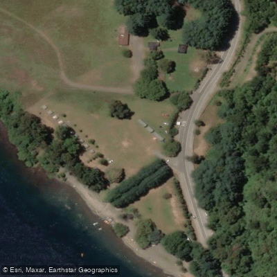
Learn how to get on Lago Colico. Uncover great paddling access points, boat ramps, and all the facilities you need for an unforgettable day on the water. Some locations shown may border or include private property. Always check property boundaries and applicable regulations before visiting. PaddleWays's Public & Private Land layer can help you plan your access with confidence.
Paddle smarter with real-time insights
Whether you're en route and conditions shift or you're looking for the best spot based on current flows, we enable you to make informed decisions on the fly.







La Araucanía licenses and regulations
No licenses or regulations available for La Araucanía.
Find Places to Paddle

Over 400,000 Places to Paddle
Every user gets free access to launch points, boat ramps, and public property parcels.


Water and weather conditions (10 day forecast)
See the best times to paddle Lago Colico and check the forecast before you go.
No forecast data available.
Paddling near Lago Colico
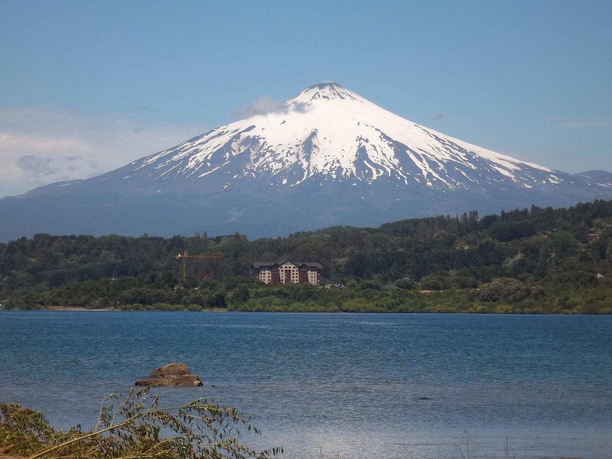
Lago Villarrica
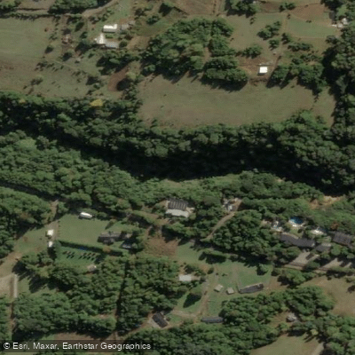
Río Liucura
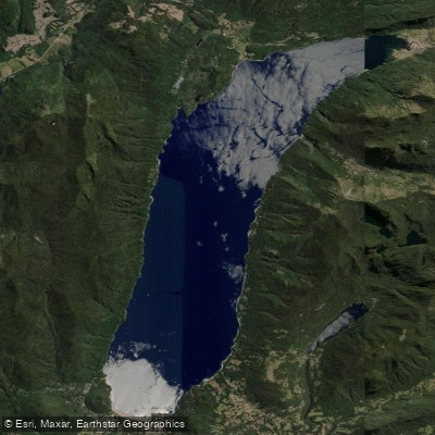
Lago Caburgua

Río Toltén
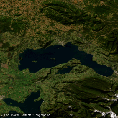
Lago Calafquén
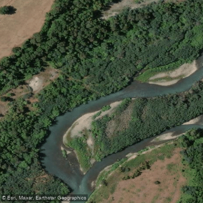
Río Allipén
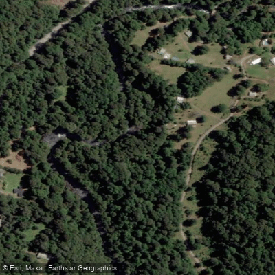
Río Palguín
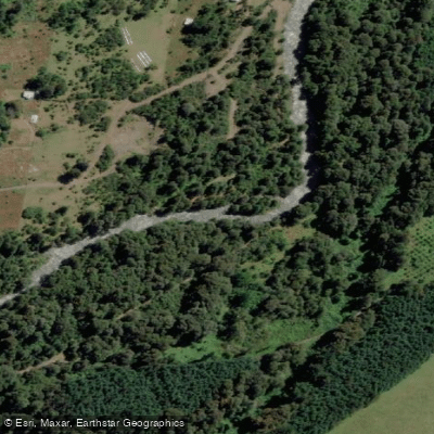
Río Llancahue
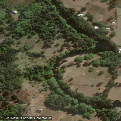
Río Trancura
Explore La Araucanía waters
Top paddling waters
No waters available right now.
Popular Cities
Loading popular cities...
Explore near Lago Colico
Access points
Nearby waters
More in La Araucanía

Smarter Paddling Starts in the App.
Paddleways gives you everything you need to plan smarter, paddle better, and own every trip from first launch to takeout.