Lago Villarrica
Lago Villarrica
- Boat Ramps
- 1
- Access Points
- 9
- Campsites
- 5
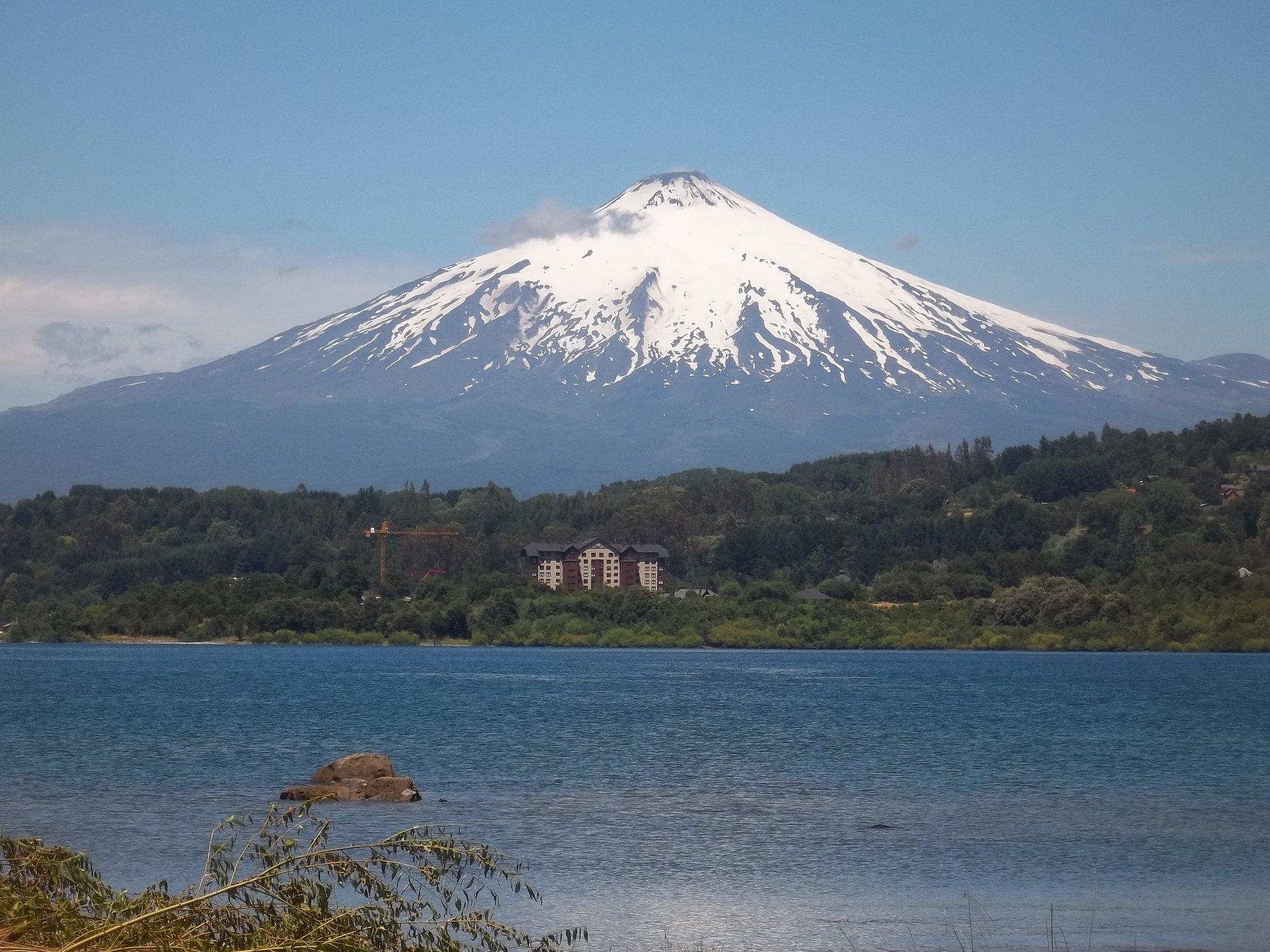
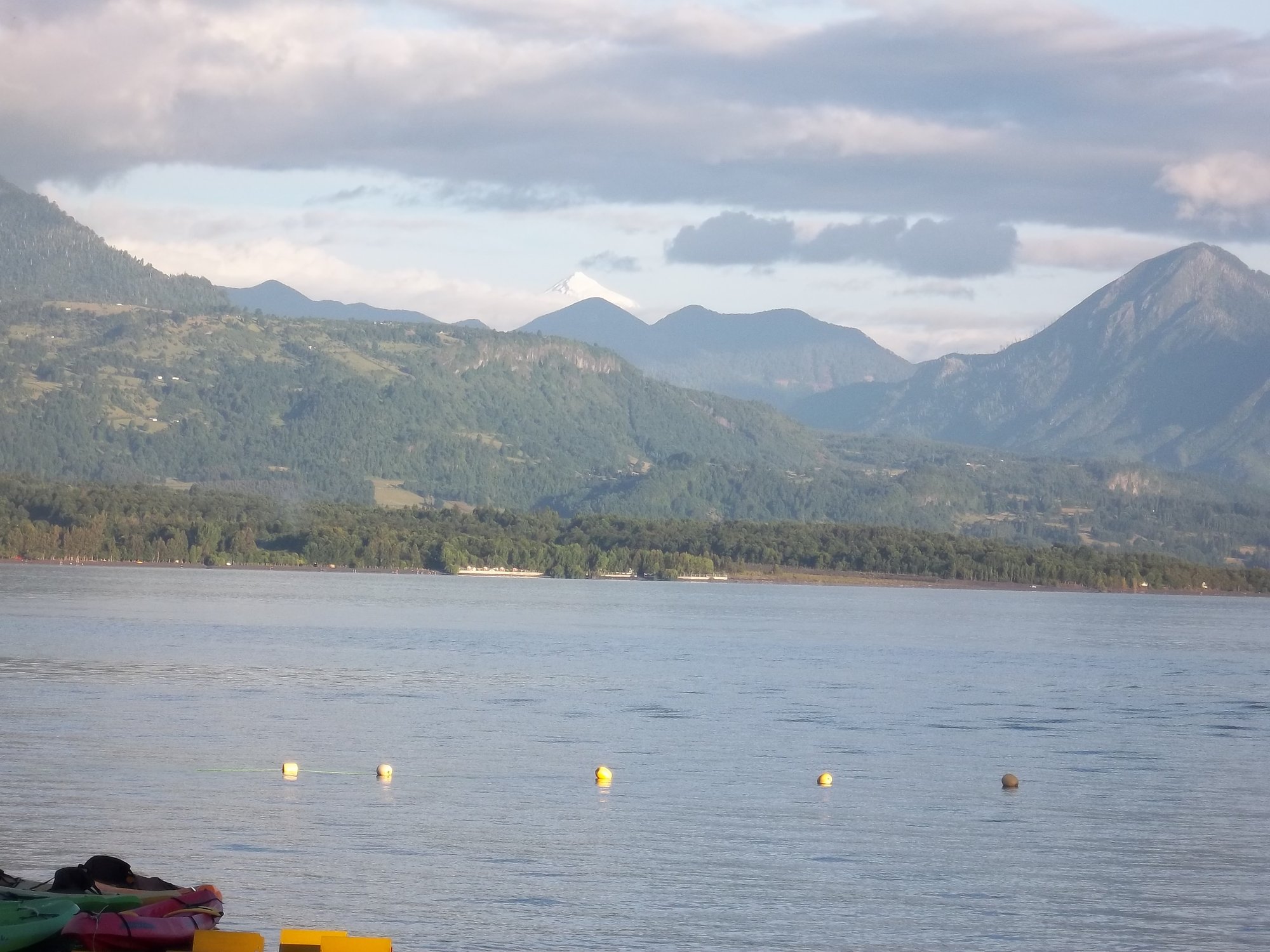
Lago Villarrica sits in the Araucania Region of Chile, approximately 780 kilometers south of Santiago. The lake is flanked by the towns of Villarrica and Pucón, with Volcán Villarrica providing a dramatic backdrop visible from the water. The Trancura River drains into the lake from the east, and the lake itself empties into the Río Toltén at its western end, where the volcano remains visible over both water bodies.
For paddlers, the lake serves primarily as flatwater. It is used as a practice area for whitewater kayakers finishing the Trancura River Delta section, where calm conditions allow for roll practice after navigating Class II–III rapids. The SUP experience on the lake involves flatwater paddling, with one described route running from the lake toward Playa Blanca. The Río Toltén outflow offers a progression from flat water to Class II+ moving water, making it a logical extension for paddlers looking for more challenge after time on the lake.
Access to the lake from the Trancura Delta section requires logistical planning. The takeout at the beach is often locked during summer months, and a 4x4 vehicle is needed to cross the Río Plata for the beach takeout; alternatively, paddlers can hike out to the road. Two vehicles or a shuttle driver with specific local knowledge of the access points is recommended for this approach.
The lake is surrounded by forests, and the views of Volcán Villarrica are a consistent feature of the paddling experience. The water is described as clear. During summer months, a Mapuche market near the Quelhue Bridge area offers food and refreshments for paddlers finishing the Trancura Delta run. The town of Pucón, situated on the lake's shore, provides accommodations and services for visiting paddlers.
The Trancura Delta section feeding into the lake is considered appropriate for beginners with a professional instructor or intermediate paddlers building confidence, given its safe eddy lines and mellow character. The lake itself functions as a calm terminus for river runs and a starting point for flatwater SUP and kayak outings.
Water access, boat ramps & amenities
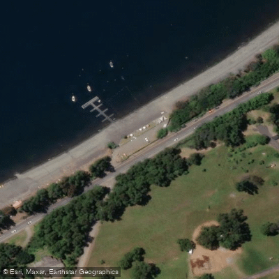
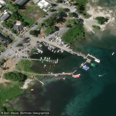
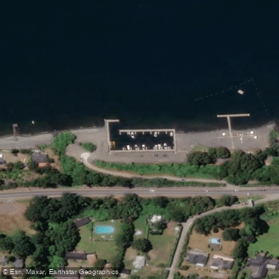
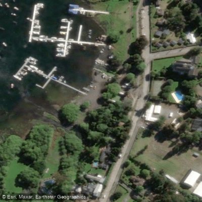
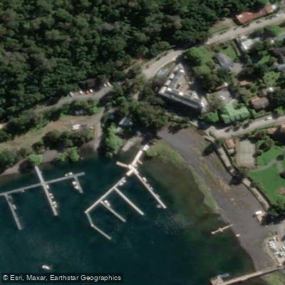
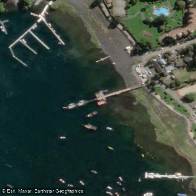
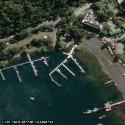
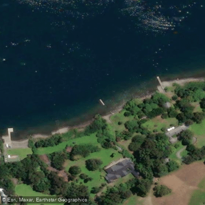
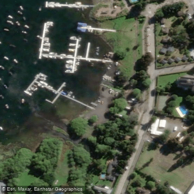
Learn how to get on Lago Villarrica. Uncover great paddling access points, boat ramps, and all the facilities you need for an unforgettable day on the water. Some locations shown may border or include private property. Always check property boundaries and applicable regulations before visiting. PaddleWays's Public & Private Land layer can help you plan your access with confidence.
Paddle smarter with real-time insights
Whether you're en route and conditions shift or you're looking for the best spot based on current flows, we enable you to make informed decisions on the fly.







La Araucanía licenses and regulations
No licenses or regulations available for La Araucanía.
Find Places to Paddle

Over 400,000 Places to Paddle
Every user gets free access to launch points, boat ramps, and public property parcels.


Water and weather conditions (10 day forecast)
See the best times to paddle Lago Villarrica and check the forecast before you go.
No forecast data available.
Paddling near Lago Villarrica
Río Liucura
Lago Caburgua

Río Toltén
Lago Calafquén
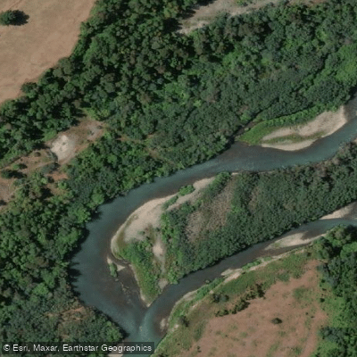
Río Allipén
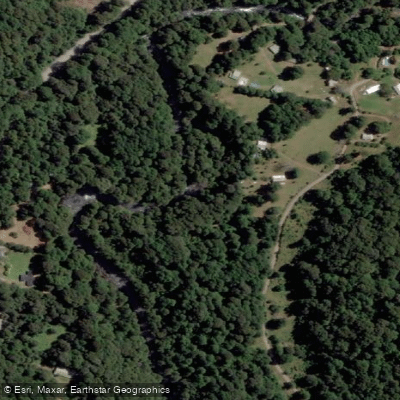
Río Palguín
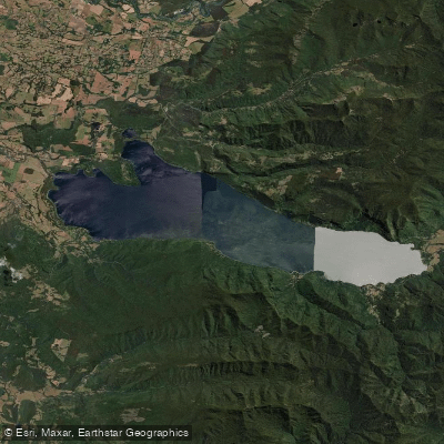
Lago Colico
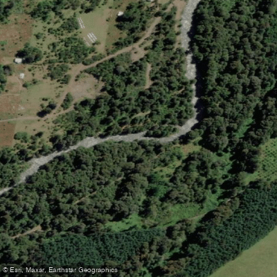
Río Llancahue
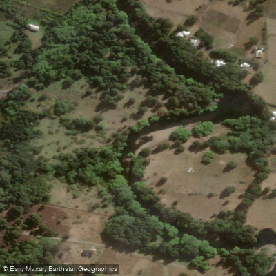
Río Trancura
Explore La Araucanía waters
Top paddling waters
No waters available right now.
Popular Cities
Loading popular cities...
Explore near Lago Villarrica
Access points
Nearby waters
More in La Araucanía

Smarter Paddling Starts in the App.
Paddleways gives you everything you need to plan smarter, paddle better, and own every trip from first launch to takeout.