Río Toltén

Río Toltén
- Boat Ramps
- 0
- Access Points
- 1
- Campsites
- 3
The Río Toltén originates at Lago Villarrica, near the city of Villarrica in the La Araucanía Region, and flows approximately 123 kilometers westward before emptying into the Pacific Ocean near Punta Nilhue, where it reaches a width of roughly 500 meters. Its major tributary is the Río Allipén, and from that confluence the river takes on a braided character. Towns along the route include Villarrica, Pitrufquén, Teodoro Schmidt, and Nueva Toltén.
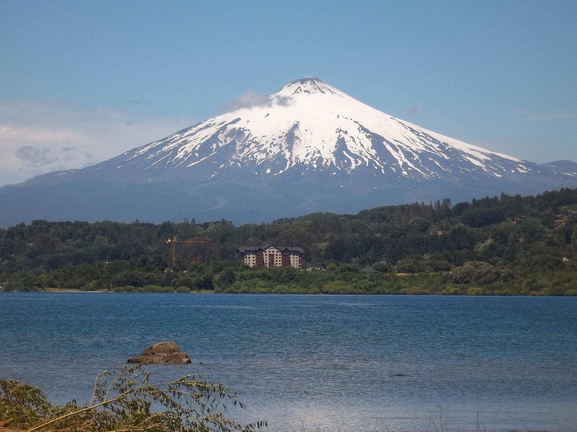
The river is rated Class II to III and is considered a quality run for beginners developing foundational skills as well as intermediates looking to practice combat rolls. The water runs clear blue and is notably warm during the summer months, with good depth throughout. The river offers at least half a dozen views of Volcán Villarrica along the way, making it a visually engaging paddle. SUP boarding and fishing — particularly for Chinook salmon, rainbow trout, and brown trout — are also common on the water.
The put-in is located at the estuary where Lago Villarrica transitions into the river, just above a bridge, and the beach there provides a good area for pre-trip roll practice. The take-out involves access through a private farm, which requires a fee of approximately 5,000 Chilean pesos. Because the access points are described as complex, the run requires either two vehicles or a shuttle driver with specific local knowledge. Commercial fishing operators in the area have been known to provide shuttle services for around 10,000 pesos. Paddlers should plan logistics carefully given these access considerations.
The river is suitable for learning whitewater fundamentals including eddy catching, ferrying, river communication, scouting, and rolling. The combination of manageable whitewater, clear warm water in summer, and consistent volcano views gives the Toltén a character well suited to skill-building trips rather than technical challenge-seeking.
Water access, boat ramps & amenities
Learn how to get on Río Toltén. Uncover great paddling access points, boat ramps, and all the facilities you need for an unforgettable day on the water. Some locations shown may border or include private property. Always check property boundaries and applicable regulations before visiting. PaddleWays's Public & Private Land layer can help you plan your access with confidence.
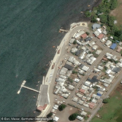
Paddle smarter with real-time insights
Whether you're en route and conditions shift or you're looking for the best spot based on current flows, we enable you to make informed decisions on the fly.







La Araucanía licenses and regulations
No licenses or regulations available for La Araucanía.
Find Places to Paddle

Over 400,000 Places to Paddle
Every user gets free access to launch points, boat ramps, and public property parcels.


Water and weather conditions (10 day forecast)
See the best times to paddle Río Toltén and check the forecast before you go.
Rio Tolten En Villarica
All Flow Stations
Paddling near Río Toltén
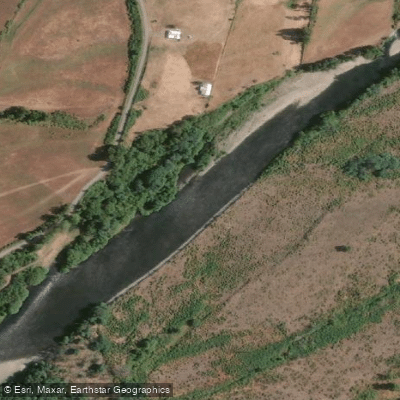
Río Cautín
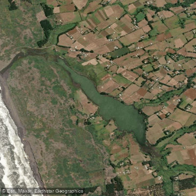
Laguna Puyehue
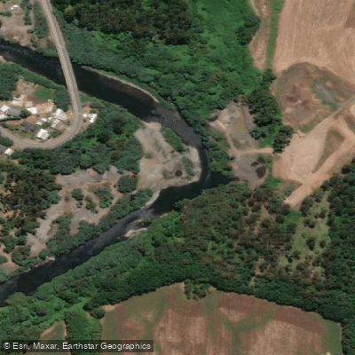
Río Quepe
Río Allipén
Playa Los Pinos
Lago Budi
Lago Villarrica
Río Quinque
Lago Colico
Explore La Araucanía waters
Top paddling waters
No waters available right now.
Popular Cities
Loading popular cities...
Explore near Río Toltén
Access points
Nearby waters
More in La Araucanía

Smarter Paddling Starts in the App.
Paddleways gives you everything you need to plan smarter, paddle better, and own every trip from first launch to takeout.