Río Truful Truful
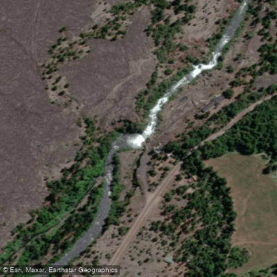
Río Truful Truful
- Boat Ramps
- 0
- Access Points
- 0
- Campsites
- 0
The Río Truful Truful flows through Conguillío National Park in the Araucanía Region of Chile, originating from Laguna Verde and running south to join the Zahuelhue River, forming the Allipén River near Melipeuco. The river drains the eastern slope of the Llaima volcano, and the canyon walls are layered with volcanic ash from past eruptions, creating a striking geological backdrop throughout the run.
There are two recognized paddling sections. The upper section puts in near the border of Conguillío National Park at the base of Llaima volcano. This stretch is continuous class 3 whitewater that maintains its pace throughout, with a few sticky holes around blind bends and sections of overgrown vegetation along the banks. Paddlers should be comfortable with sustained technical water and remain alert. A critical safety consideration on the upper section is the Truful Truful waterfall at the take-out — scouts must identify and exit above this drop before reaching it. The waterfall has been run at certain levels, but the lead-in is described as extremely tricky, and it is generally portaged.
The lower section also sees regular use, with the put-in accessible from the park boundary area. One major rapid on the river, known as the "Trufuliser," is a large feature that most paddlers portage. The overall character of the river is fast and continuous, rewarding paddlers who can read water efficiently and maintain momentum.
The river is located roughly 2 to 3 hours north of Pucón, making it a full-day road trip from that hub. Spring is noted as a period when rivers in this region, including the Truful Truful, run at high levels. The Salto Truful Truful waterfall near Melipeuco is accessible to the general public and is a notable landmark in the area.
The Truful Truful is commonly included in multi-day kayaking itineraries based out of Pucón alongside rivers such as the Fuy, San Pedro, and Blanco. Given the travel time involved, it is typically paddled as a dedicated day trip rather than a casual afternoon run.
Water access, boat ramps & amenities
Learn how to get on Río Truful Truful. Uncover great paddling access points, boat ramps, and all the facilities you need for an unforgettable day on the water. Some locations shown may border or include private property. Always check property boundaries and applicable regulations before visiting. PaddleWays's Public & Private Land layer can help you plan your access with confidence.
Paddle smarter with real-time insights
Whether you're en route and conditions shift or you're looking for the best spot based on current flows, we enable you to make informed decisions on the fly.







La Araucanía licenses and regulations
No licenses or regulations available for La Araucanía.
Find Places to Paddle

Over 400,000 Places to Paddle
Every user gets free access to launch points, boat ramps, and public property parcels.


Water and weather conditions (10 day forecast)
See the best times to paddle Río Truful Truful and check the forecast before you go.
Rio Truful En Camino Internacional
Paddling near Río Truful Truful
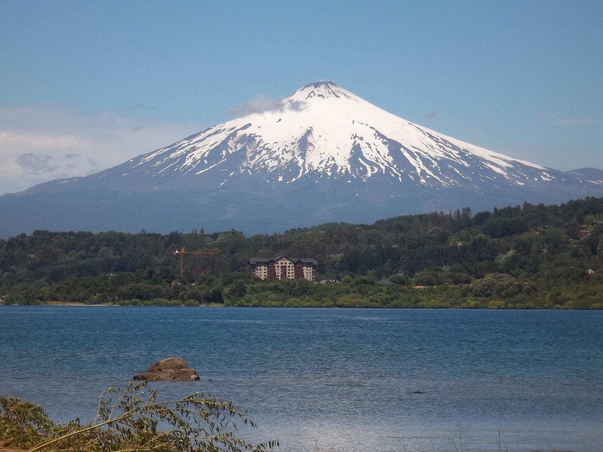
Lago Villarrica
Río Liucura
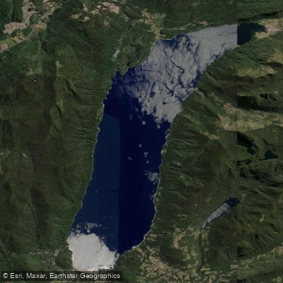
Lago Caburgua

Río Toltén
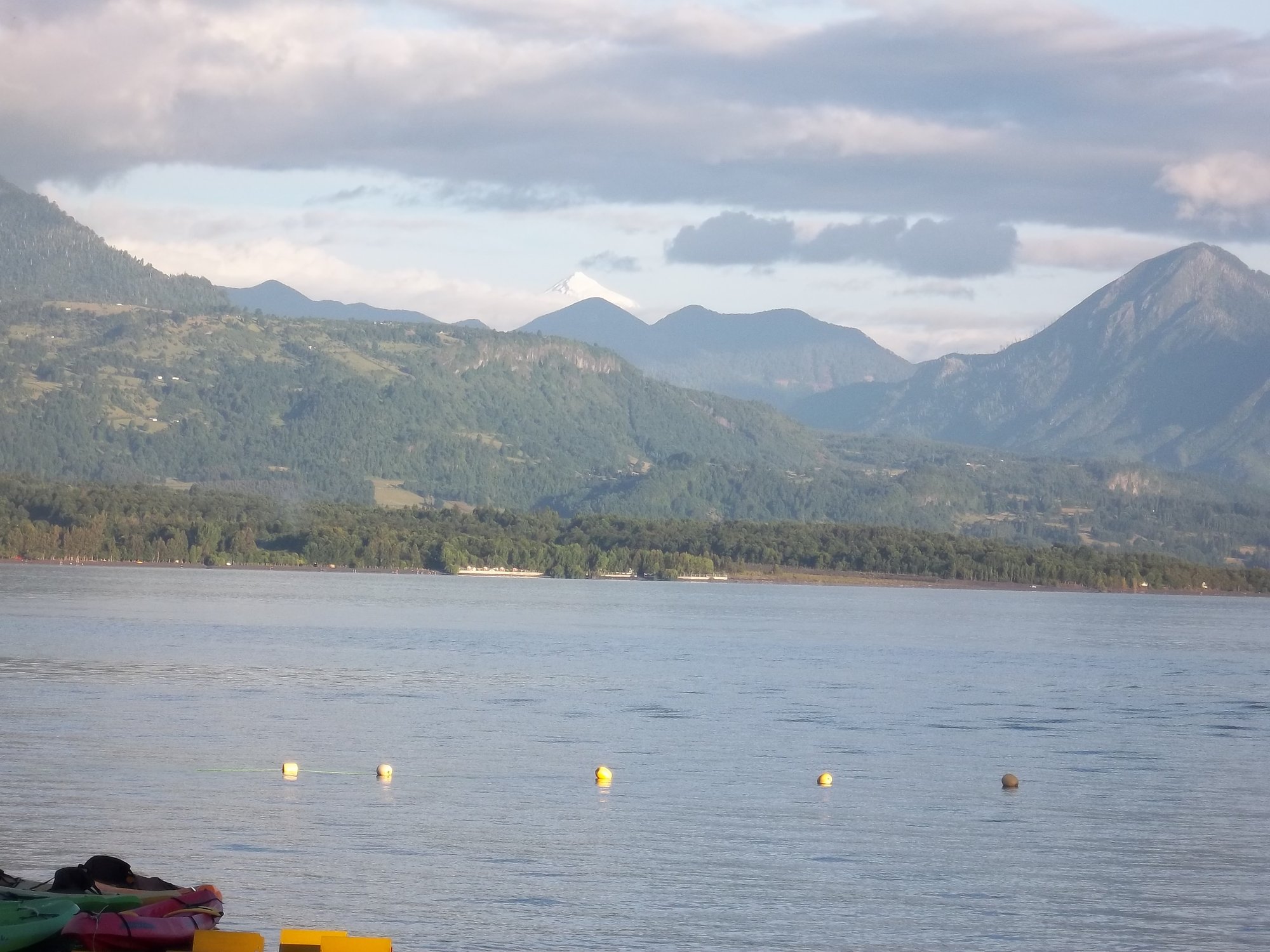
Lago Calafquén
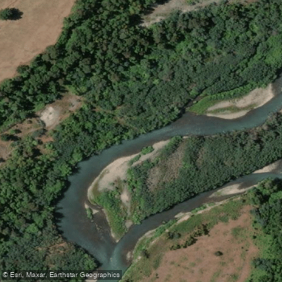
Río Allipén
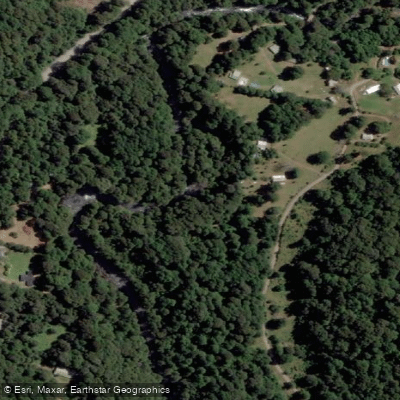
Río Palguín
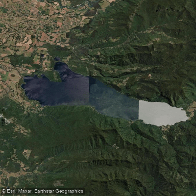
Lago Colico
Río Llancahue
Río Trancura
Explore La Araucanía waters
Top paddling waters
No waters available right now.
Popular Cities
Loading popular cities...
Explore near Río Truful Truful
Access points
Nearby waters
More in La Araucanía

Smarter Paddling Starts in the App.
Paddleways gives you everything you need to plan smarter, paddle better, and own every trip from first launch to takeout.