Playa Pelluhuin
- Saltwater
- Beach
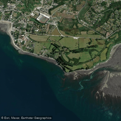
Playa Pelluhuin
- Saltwater
- Beach
- Sq. miles
- 0.3
- Boat Ramps
- 0
- Access Points
- 0
- Campsites
- 1
Playa Pelluhuin is a beach located approximately 7 kilometers east of the more developed promenade of Puerto Montt, within the Provincia de Llanquihue. This distance contributes to its character as a less visited and more natural-feeling beach compared to others in the immediate urban area. For paddlers launching from shore, this suggests a potentially quieter access point. The beach faces the Reloncaví Sound, a large inland sea opening to the Gulf of Ancud and the Pacific Ocean. This exposure means paddlers should be prepared for conditions influenced by broader weather systems, including wind and swell. Notably, a social media post referencing an "IRRESPONSABILIDAD EN PLENO SISTEMA FRONTAL" (irresponsibility in the middle of a frontal system) highlights that significant storm conditions can occur here, making checking forecasts and understanding local wind patterns critical for safety. The beach is used for open-water swimming events, such as the "Desafío Austral," indicating it is a recognized location for human-powered water sports. Regulations for these events include the mandatory use of safety buoys for underage swimmers, a rule paddlers should be aware of as it reflects local safety norms. The aesthetic is that of a natural beach, and its location on the Reloncaví Sound provides access to a vast, complex coastline for exploration. Paddlers can plan trips along the shore. Given the region's climate, the best seasons for paddling are likely the warmer and drier summer months, with water temperatures being cool to cold year-round due to the southern latitude.
Water access, boat ramps & amenities
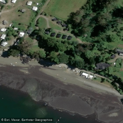
Learn how to get on Playa Pelluhuin. Uncover great paddling access points, boat ramps, and all the facilities you need for an unforgettable day on the water. Some locations shown may border or include private property. Always check property boundaries and applicable regulations before visiting. PaddleWays's Public & Private Land layer can help you plan your access with confidence.
Paddle smarter with real-time insights
Whether you're en route and conditions shift or you're looking for the best spot based on current flows, we enable you to make informed decisions on the fly.







Los Lagos licenses and regulations
No licenses or regulations available for Los Lagos.
Find Places to Paddle

Over 400,000 Places to Paddle
Every user gets free access to launch points, boat ramps, and public property parcels.


Tides, wind & water conditions (10 day forecast)
On open water, wind and tide matter as much as the weather. See the best times to paddle Playa Pelluhuin and check the marine forecast before you launch.
Loading tide predictions…
Paddling near Playa Pelluhuin
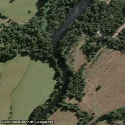
Río Maullín
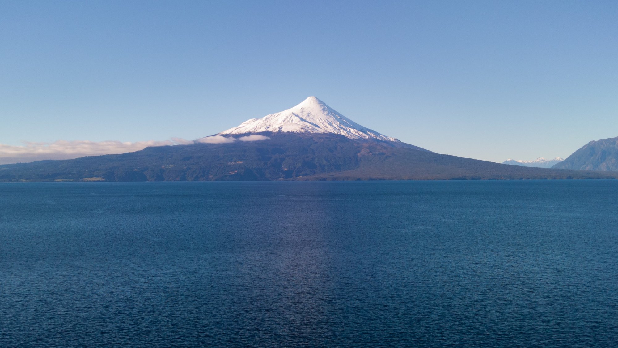
Lago Llanquihue
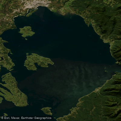
Seno de Reloncaví
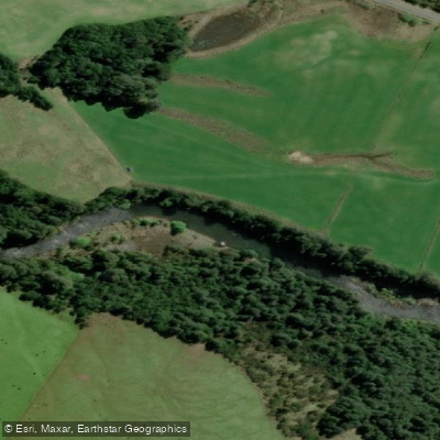
Río Chamiza
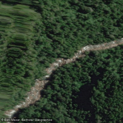
Río Cochamó
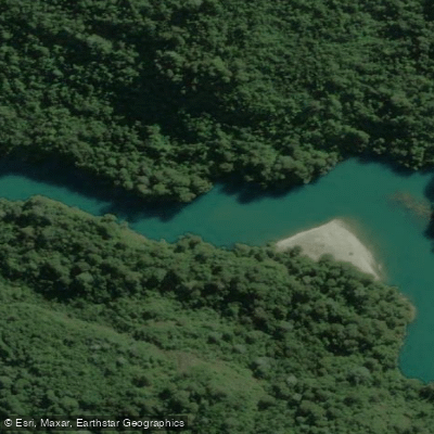
Río Puelo
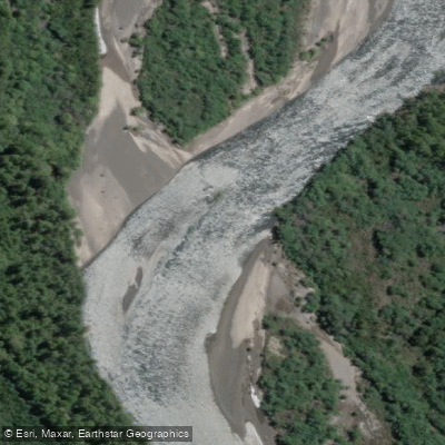
Río Petrohué
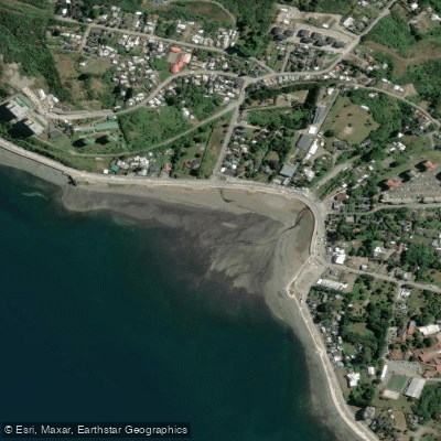
Playa Pelluco
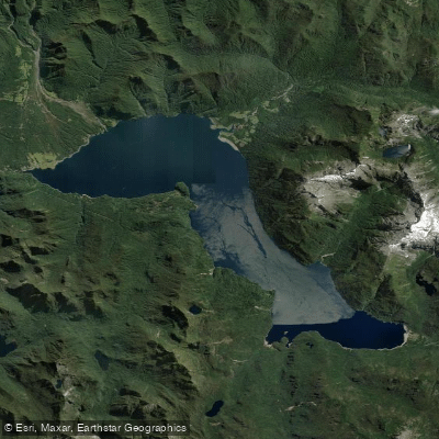
Lago Chapo
Explore Los Lagos waters
Top paddling waters
No waters available right now.
Popular Cities
Loading popular cities...
Explore near Playa Pelluhuin
Access points
Nearby waters
More in Los Lagos

Smarter Paddling Starts in the App.
Paddleways gives you everything you need to plan smarter, paddle better, and own every trip from first launch to takeout.