Porlock Weir
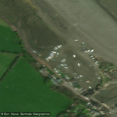
Porlock Weir
Porlock Weir is a small harbour settlement on Somerset's Exmoor coastline, roughly 1. 5 miles west of the village of Porlock.
Its name reflects both its maritime history — from the Old English for "enclosure near a harbour" — and the salmon stakes and traps once set along the shore.
The tidal harbour shelters a modest flotilla of yachts and sits fronted by a steep shingle beach backed by saltmarsh, with the Bristol Channel's dramatic tidal range defining the character of the place.
The settlement serves as a natural gateway into the surrounding landscape.
The South West Coast Path passes through on its way between Minehead and Lynmouth, while inland routes follow Hawkcombe Stream up through oak woodland rich in mosses, lichen, and birdlife.
Porlock Weir is also the starting point for walks to Culbone, home to the smallest parish church in England.
Nearby points of interest
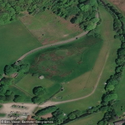
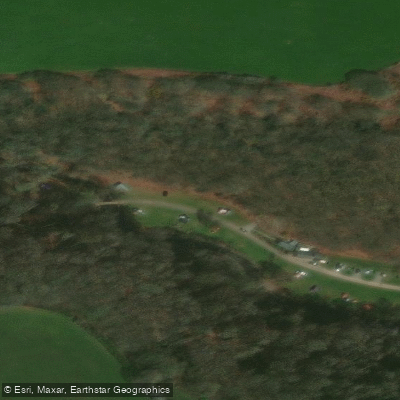
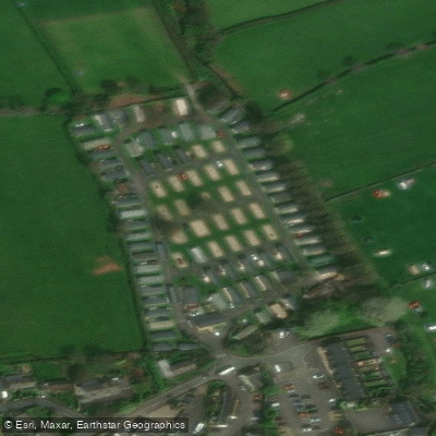
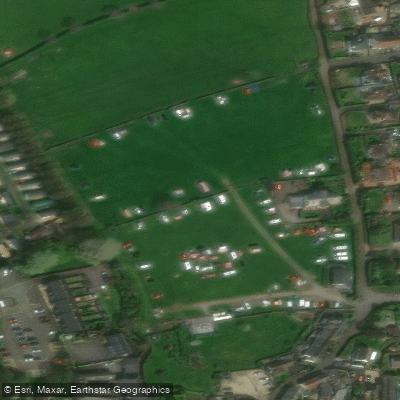
Find excellent paddling spots, easy access to boat ramps, and all the amenities you need for a memorable day. Your adventure starts here.
Water and weather conditions (10 day forecast)
Check the forecast at Porlock Weir before you go paddling.
No forecast data available.
Paddling near Porlock Weir
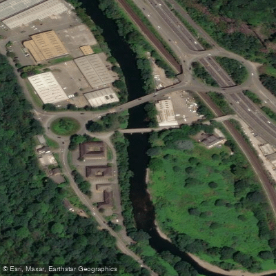
River Taff
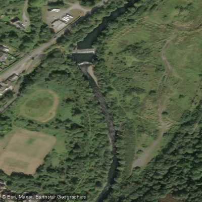
Afon Tawe
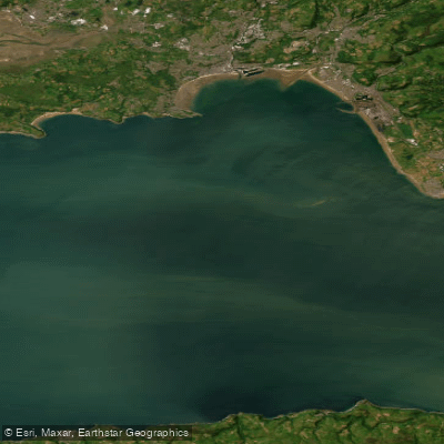
Bristol Channel Outer North
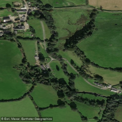
River Exe
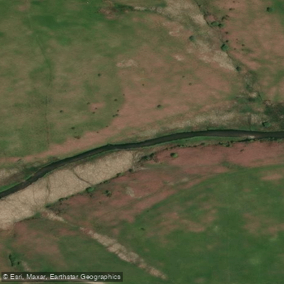
River Barle

Bristol Channel
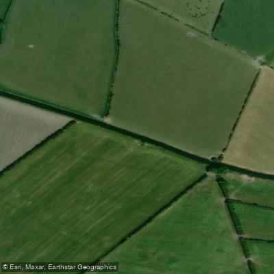
River Axe
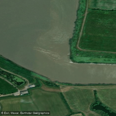
River Parrett
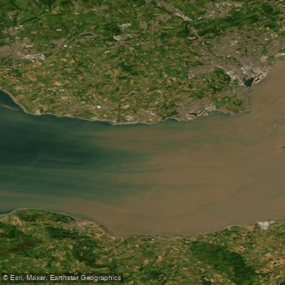
Bristol Channel Inner North
River Tone
England licenses and regulations
Explore England waters
Top paddling waters
No waters available right now.
Popular Cities
Loading popular cities...
Explore near Porlock Weir
Nearby spots
Nearby waters
More in England

Smarter Paddling Starts in the App.
Paddleways gives you everything you need to plan smarter, paddle better, and own every trip from first launch to takeout.