East Lyn River
East Lyn River
- Boat Ramps
- 0
- Access Points
- 0
- Campsites
- 1
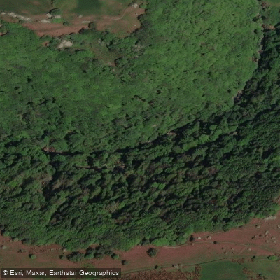
The East Lyn River rises on Exmoor in Somerset and flows through the East Lyn Valley in Devon before reaching the Bristol Channel at Lynmouth. It runs through Exmoor National Park and National Trust land, passing through a boulder-strewn, heavily wooded gorge that has been described as prehistoric-looking and exceptionally green and craggy — about as close to a rainforest environment as can be found in England.
The river is graded from 3 to 5 depending on section. The uppermost section from Malmsmead to Brendon is Grade 3, while the sections from Brendon to Watersmeet and from Watersmeet to the sea at Lynmouth are Grade 4–5. After severe rainfall, some sections can reach Grade 6. The Watersmeet to Lynmouth section covers approximately 3.2km with a 110-foot drop, making it one of the steepest rivers in England. Key features include a series of Grade 4 drops in the upper gorge, a notable pour-over with a hole at the bottom, a section known as the Crux Gorge, and a Triple Drop. The ideal finish involves paddling straight out through Lynmouth to the sea, particularly when there is surf at the mouth.
Fallen trees are a persistent and serious hazard throughout the river, and any planned run should be scouted carefully for strainers and logjams before committing. Water levels should always be checked against the skill level of the group. The river is narrow in places, adding to the consequential nature of the lower sections.
The recommended paddling season is 1 October to 31 March. Paddling during the main fishing season, 1 April to 30 September, is strongly discouraged both because of low water levels and because of the environmental disturbance it causes. Winter months provide more consistent water levels. The nearby Hoaroak Water tributary, which features some of the only significant waterfalls in southwest England, can be added as a side trip when levels are sufficient — approximately 1.65 metres on the online gauge or above.
The East Lyn carries considerable prestige within the UK whitewater paddling community and is considered a consequential run, particularly on the lower gorge sections. It is recommended for experienced whitewater paddlers only.
Water access, boat ramps & amenities
Learn how to get on East Lyn River. Uncover great paddling access points, boat ramps, and all the facilities you need for an unforgettable day on the water. Some locations shown may border or include private property. Always check property boundaries and applicable regulations before visiting. PaddleWays's Public & Private Land layer can help you plan your access with confidence.
Paddle smarter with real-time insights
Whether you're en route and conditions shift or you're looking for the best spot based on current flows, we enable you to make informed decisions on the fly.








Find Places to Paddle

Over 400,000 Places to Paddle
Every user gets free access to launch points, boat ramps, and public property parcels.


Water and weather conditions (10 day forecast)
See the best times to paddle East Lyn River and check the forecast before you go.
Brendon
Paddling near East Lyn River
River Taff
Afon Tawe
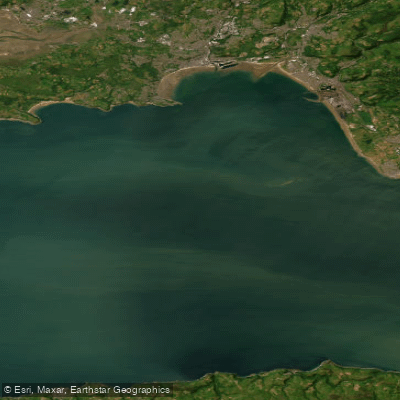
Bristol Channel Outer North
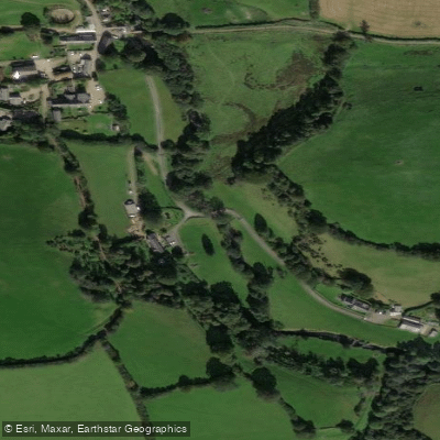
River Exe
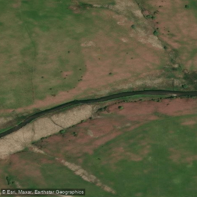
River Barle

Bristol Channel
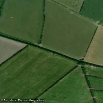
River Axe
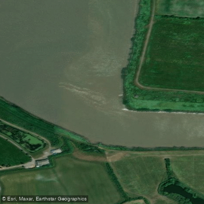
River Parrett
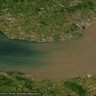
Bristol Channel Inner North
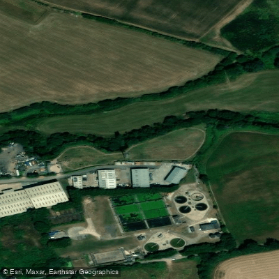
River Tone
Explore England waters
Top paddling waters
No waters available right now.
Popular Cities
Loading popular cities...
Explore near East Lyn River

Smarter Paddling Starts in the App.
Paddleways gives you everything you need to plan smarter, paddle better, and own every trip from first launch to takeout.