MEDWAY
- Saltwater
- Estuary
MEDWAY
- Saltwater
- Estuary
- Sq. miles
- 22
- Boat Ramps
- 0
- Access Points
- 5
- Campsites
- 3
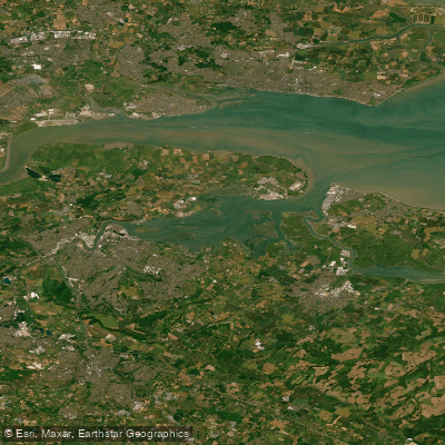
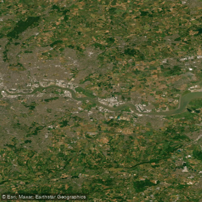
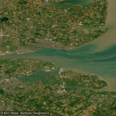
The River Medway in Kent, England offers a classic, multi-day inland touring experience distinct from its tidal estuary. The primary paddling section is the 29-kilometer Medway Canoe Trail, which runs from Tonbridge to Allington Lock just north of Maidstone. This is a non-tidal, freshwater river section graded as easy, suitable for kayaks, canoes, and SUPs, with some gentle grade 1 rapids. The river is characterized by calm, slow-moving water, making it ideal for beginners and families. Paddlers navigate a meandering waterway through the Kentish countryside, passing woods, meadows, villages, and historic towns. Notable sights include Tonbridge Castle, a 13th-century structure visible from the water, and several other medieval castles along the route. The trail can be completed in a couple of days or longer for a relaxed trip, with the option for multi-day adventures involving camping.
Key access points include the Lower Castle Field Car Park in Tonbridge, which has a paid car park and an accessible slipway for launching. Another significant point is at Yalding, where Paddle UK leases a basic campsite for overnight journeys, available for a fee. The route from Tonbridge to Yalding is approximately 13 kilometers. A waterways licence is required for paddling this section. The river is subject to a traffic light system for water levels, with red indicating high, fast flood conditions during winter that may make sections unsuitable for paddling, prompting guides to use local reservoirs instead. Under normal conditions, boat traffic is minimal. Wildlife includes kingfishers, herons, swans, and otters. The aesthetic is one of a flat, green wilderness paddle with tree-lined sections providing dappled shade. Facilities are basic, with public toilets available near some launch points like Tonbridge, but paddlers should plan for self-supported trips regarding supplies and shuttle logistics between start and end points.
Water access, boat ramps & amenities
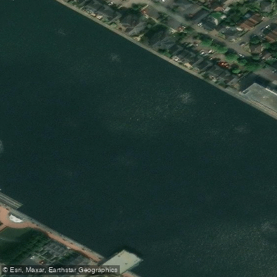
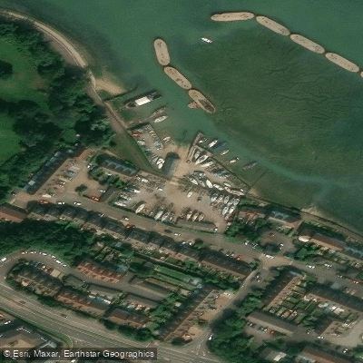
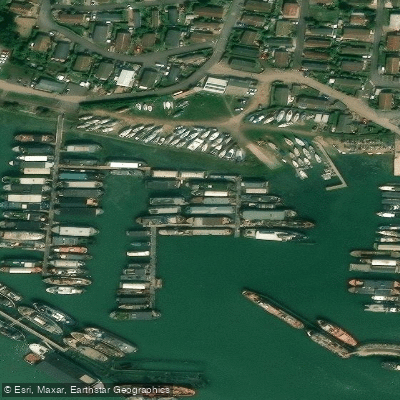
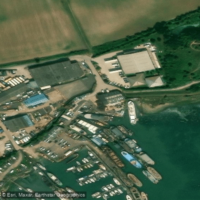
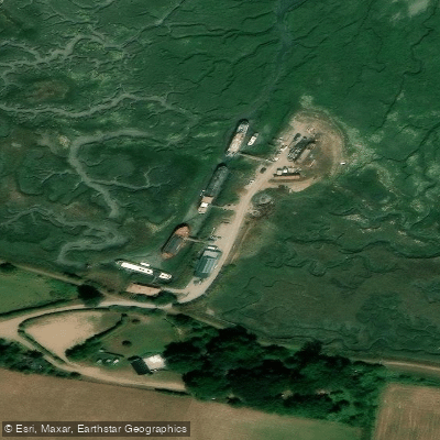
Learn how to get on MEDWAY. Uncover great paddling access points, boat ramps, and all the facilities you need for an unforgettable day on the water. Some locations shown may border or include private property. Always check property boundaries and applicable regulations before visiting. PaddleWays's Public & Private Land layer can help you plan your access with confidence.
Paddle smarter with real-time insights
Whether you're en route and conditions shift or you're looking for the best spot based on current flows, we enable you to make informed decisions on the fly.








Find Places to Paddle

Over 400,000 Places to Paddle
Every user gets free access to launch points, boat ramps, and public property parcels.


Tides, wind & water conditions (10 day forecast)
On open water, wind and tide matter as much as the weather. See the best times to paddle MEDWAY and check the marine forecast before you launch.
Loading tide predictions…
Paddling near MEDWAY
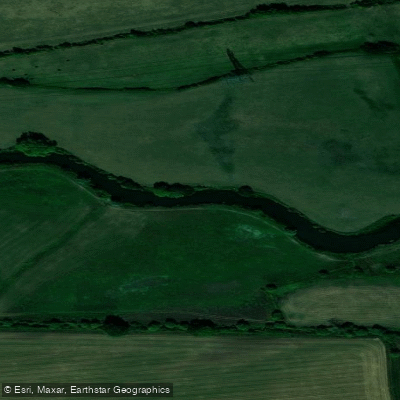
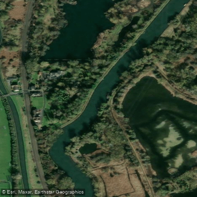
Explore England waters
Top paddling waters
No waters available right now.
Popular Cities
Loading popular cities...
Explore near MEDWAY

Smarter Paddling Starts in the App.
Paddleways gives you everything you need to plan smarter, paddle better, and own every trip from first launch to takeout.