River Lea
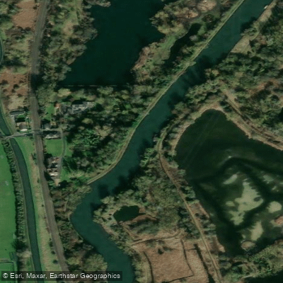
River Lea
- Boat Ramps
- 1
- Access Points
- 5
- Campsites
- 3
The River Lea originates in Leagrave, Luton, in the Chiltern Hills of Bedfordshire, at an elevation of 115 metres, and flows approximately 68 kilometres southeast through Hertfordshire, along the Essex border, and into Greater London, where it meets the River Thames at Bow Creek. It passes through towns including Hertford, Ware, Hoddesdon, Broxbourne, Waltham Abbey, Enfield, Tottenham, Clapton, Stratford, and Bow. The river is a canalised natural waterway rather than a purpose-built canal, and it has evolved gradually over centuries of use dating back to Roman times, with a Bronze Age dugout canoe and parts of a Saxon barge having been recovered from Walthamstow marshes.
A licence is required to paddle the River Lea and the Lee Navigation. This licence is included with Paddle UK membership. The canalised sections managed by the Canal & Rivers Trust are open to paddling throughout the year with the appropriate licence. A short tidal section near Bow Creek falls under Port of London Authority management and is considered suitable only for experienced paddlers familiar with tidal conditions and committed, walled-in river environments.
One well-documented route runs 6.5 kilometres one way from downstream of Tottenham Hale Lock, off Ferry Lane (N17 9PY), to Hackney Wick, where canoe hire is available through Moo Canoes, based at the Milk Float barge. This stretch combines urban and industrial scenery with patches of wilder riverside character. Paddlers should be alert to rowing traffic on this section. Another popular option involves paddling north from Hackney Wick along the River Lea Navigation toward Clapton. Further north, the Hertford area offers a loop route incorporating the River Lea, the River Beane, and the Lee Navigation, with weirs including Hartham Weir and a double-drop Castle Weir in Hertford town centre requiring portage. Access disputes have been reported on the stretch between Dobbs Weir and Broxbourne Mill, where paddlers have encountered restrictions at the mill egress point and on the old river course, so it is advisable to check current access arrangements before paddling that section.
The landscape along the river shifts considerably from north to south, moving from rural farmland and wetland meadows in Hertfordshire through Victorian locks and industrial heritage into the dense urban environment of east London, with the Queen Elizabeth Olympic Park among the notable landmarks along the lower navigation.
Water access, boat ramps & amenities
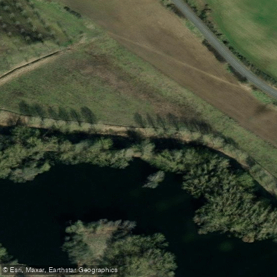
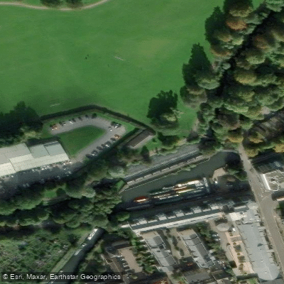
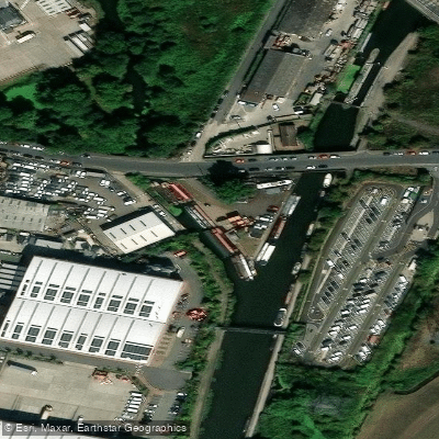
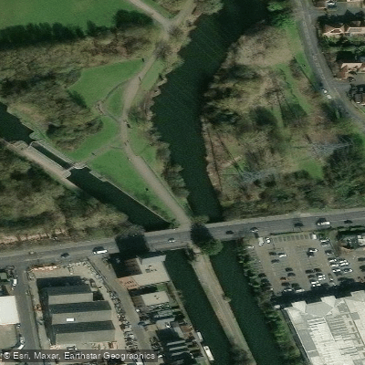
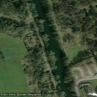
Learn how to get on River Lea. Uncover great paddling access points, boat ramps, and all the facilities you need for an unforgettable day on the water. Some locations shown may border or include private property. Always check property boundaries and applicable regulations before visiting. PaddleWays's Public & Private Land layer can help you plan your access with confidence.
Paddle smarter with real-time insights
Whether you're en route and conditions shift or you're looking for the best spot based on current flows, we enable you to make informed decisions on the fly.








Find Places to Paddle

Over 400,000 Places to Paddle
Every user gets free access to launch points, boat ramps, and public property parcels.


Water and weather conditions (10 day forecast)
See the best times to paddle River Lea and check the forecast before you go.
Luton East Hyde
All Flow Stations
Paddling near River Lea
Explore England waters
Top paddling waters
No waters available right now.
Popular Cities
Loading popular cities...
Explore near River Lea
Access points
Nearby waters
More in England

Smarter Paddling Starts in the App.
Paddleways gives you everything you need to plan smarter, paddle better, and own every trip from first launch to takeout.