River Brent
River Brent
- Boat Ramps
- 0
- Access Points
- 2
- Campsites
- 0
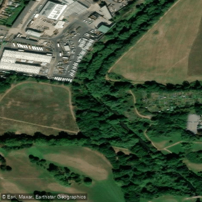
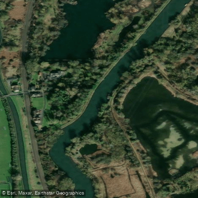
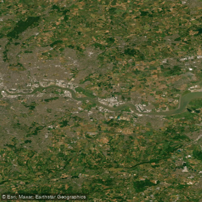
The River Brent flows through suburban northwest London, passing through areas including Tokyngton Park, Stonebridge Park, and Brent Cross before joining the Thames. The river is heavily modified in character, with significant stretches running through culverted sections underground, particularly at Neasden junction and Stonebridge junction. While a 500-metre stretch at Tokyngton Park was restored from a concrete channel to a more natural meandering course in 2002–2003, much of the river remains in an engineered state.
Paddling the River Brent is not recommended. At least one paddler who has descended it has strongly advised others against attempting it. The river presents multiple serious hazards, including numerous weirs that obstruct fish passage and pose risks to paddlers, as well as sections that disappear entirely into culverts. The Monks Park Labyrinth Screen near Stonebridge Park is a structure designed to catch debris and act as a weir during flood conditions; it is considered extremely dangerous to paddlers when the river is running high.
The Brent (Welsh Harp) Reservoir, which feeds the river, is accessible for paddling only to members of the Phoenix Canoe Club and is not open to the general public. The spillway area below the dam can be reached on foot via a footpath behind Harp Island Close, but this does not constitute a paddling access point for non-members.
The river does pass through a notably unusual microenvironment in the vicinity of the dam, described as semi-tropical in character. There have been calls for the river to be regenerated and rewilded along the lines of the River Wandle, but no such transformation has taken place. Anyone considering the River Brent should be aware that its current condition makes it a poor and potentially hazardous choice for paddling.
Water access, boat ramps & amenities
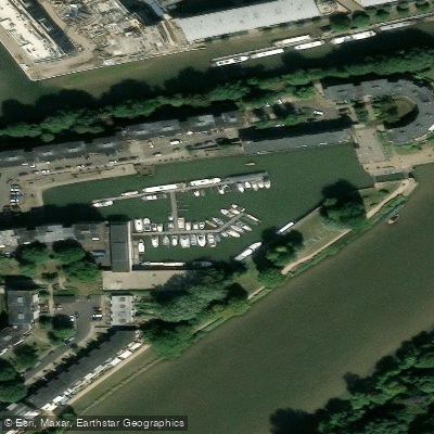
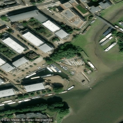
Learn how to get on River Brent. Uncover great paddling access points, boat ramps, and all the facilities you need for an unforgettable day on the water. Some locations shown may border or include private property. Always check property boundaries and applicable regulations before visiting. PaddleWays's Public & Private Land layer can help you plan your access with confidence.
Paddle smarter with real-time insights
Whether you're en route and conditions shift or you're looking for the best spot based on current flows, we enable you to make informed decisions on the fly.








Find Places to Paddle

Over 400,000 Places to Paddle
Every user gets free access to launch points, boat ramps, and public property parcels.


Water and weather conditions (10 day forecast)
See the best times to paddle River Brent and check the forecast before you go.
Brentford
All Flow Stations
Paddling near River Brent
Explore England waters
Top paddling waters
No waters available right now.
Popular Cities
Loading popular cities...
Explore near River Brent
Access points
Nearby waters
More in England

Smarter Paddling Starts in the App.
Paddleways gives you everything you need to plan smarter, paddle better, and own every trip from first launch to takeout.