River Thames
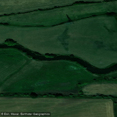
River Thames
- Boat Ramps
- 20
- Access Points
- 65
- Campsites
- 17
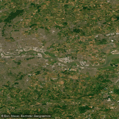
The River Thames runs approximately 347 kilometres from its source in the Cotswold Hills, through the Home Counties and London, and out into the estuary. The full length can be divided into roughly 19 sections, making it suitable for anything from a single afternoon outing to a multi-day expedition. The non-tidal upper river is generally accessible and manageable for paddlers of varying experience levels, while the tidal section below Teddington Lock presents significantly more demanding conditions.
Access points are plentiful along the upper river. In Oxfordshire, Oxford has several boatyards and public slipways, Wallingford offers public access with parking, and Lechlade provides entry near St. John's Lock, the highest lock on the Thames. In Berkshire, Caversham Lock in Reading, Pangbourne, and Henley-on-Thames all have public slipways. In Buckinghamshire, Marlow and Cookham both offer slipways with parking nearby. The upper river passes through 45 locks between Lechlade and Teddington, and paddlers with lighter craft can portage around them, while those in heavier boats typically pass through the lock chambers.
On the tidal Thames through central London, conditions change considerably. Tidal range in the heart of London can reach seven metres, and the current can run at up to five miles per hour. Boat wakes add further chop, and numerous moored barges and piers create hazards as the tide rushes beneath them. The tidal section is under the jurisdiction of the Port of London Authority, and paddlers are advised to contact them before heading out. River traffic keeps to the right of the main channel, and kayakers are generally advised to use the quieter water along the river's edges. This stretch is not appropriate for inexperienced paddlers without qualified supervision.
Wildlife along the river includes swans, ducks, herons, kingfishers, cormorants, buzzards, and otters, which have been gradually returning to the river. The wooded stretches such as Cliveden Reach also support deer. The water quality on the Thames has improved considerably from its historically polluted state, though paddlers should remain aware of the risks associated with immersion, particularly in the urban tidal sections.
Paddlers must register their craft with the Environment Agency before using the non-tidal river. A Paddle UK membership licence also covers the Thames as part of a broader waterway network. Guided tours and kayak hire are available at several points, including in central London.
Water access, boat ramps & amenities
Learn how to get on River Thames. Uncover great paddling access points, boat ramps, and all the facilities you need for an unforgettable day on the water. Some locations shown may border or include private property. Always check property boundaries and applicable regulations before visiting. PaddleWays's Public & Private Land layer can help you plan your access with confidence.
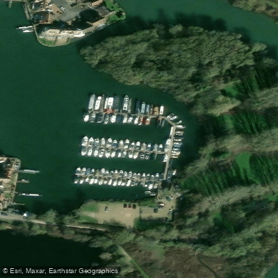
Abingdon Marina
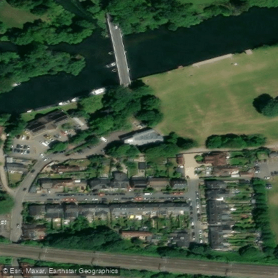
Adventure Dolphin Centre Pangbourne
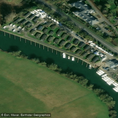
Benson Marina
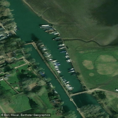
Bossoms Marina
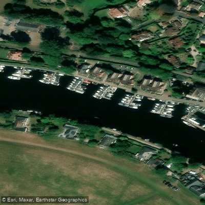
Bourne End Marina
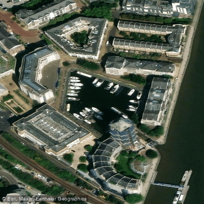
Chelsea Harbour
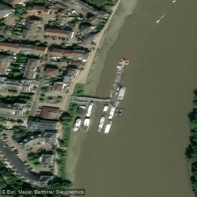
Chiswick Pier
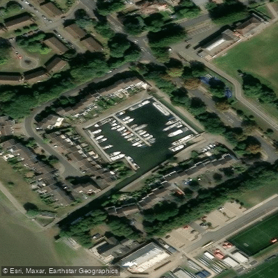
Chiswick Quay Marina
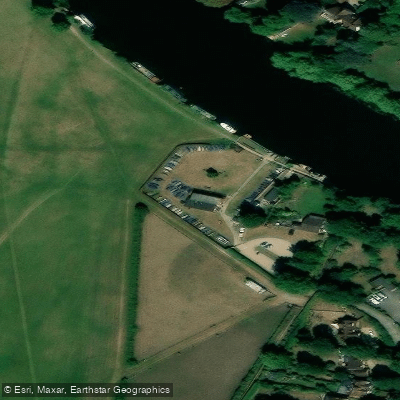
Cookham Reach Sailing Club
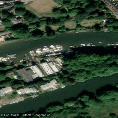
Eel Pie Boatyard
Paddle smarter with real-time insights
Whether you're en route and conditions shift or you're looking for the best spot based on current flows, we enable you to make informed decisions on the fly.








Find Places to Paddle

Over 400,000 Places to Paddle
Every user gets free access to launch points, boat ramps, and public property parcels.


Water and weather conditions (10 day forecast)
See the best times to paddle River Thames and check the forecast before you go.
Marsh Lock
All Flow Stations
Paddling near River Thames
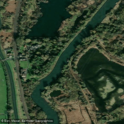
Explore England waters
Top paddling waters
No waters available right now.
Popular Cities
Loading popular cities...
Explore near River Thames
Access points
Nearby waters
More in England

Smarter Paddling Starts in the App.
Paddleways gives you everything you need to plan smarter, paddle better, and own every trip from first launch to takeout.