River Darent
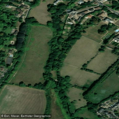
River Darent
- Boat Ramps
- 1
- Access Points
- 2
- Campsites
- 0
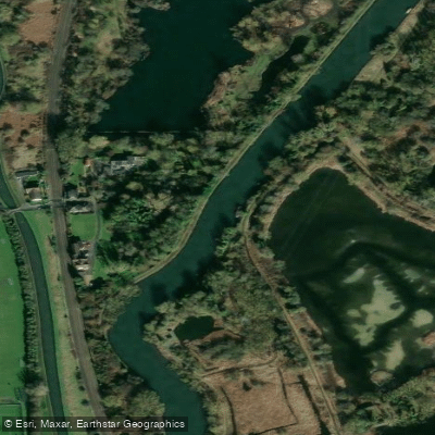
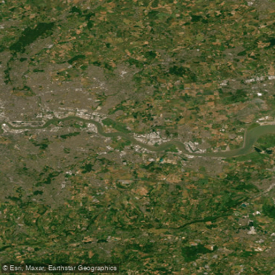
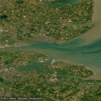
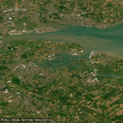
The River Darent rises near Westerham and flows roughly 30 kilometres northward through the villages of Brasted, Sundridge, Chipstead, Otford, Shoreham, Eynsford, Lullingstone, Farningham, Sutton-at-Hone, and Horton Kirby before reaching Dartford and joining the Thames. Beyond Otford, the river transitions into a groundwater-fed chalk stream, creating a diverse habitat for wildlife and vegetation. The final stretch, known as Dartford Creek, meanders between the Cray and Dartford Marshes and marks the boundary between Greater London and Kent. Few boats now use this section of the river.
The Crayford Creek (River Cray) enters the Darent from the right approximately two kilometres upstream from the Thames confluence. Paddlers continuing toward the Thames will pass under the A206 road bridge. The West Kent Main Sewer crosses beneath the Darent in this lower section, and a combined sewer overflow outlet is present nearby. During periods of high rainfall, excess wastewater can discharge into the river at this point, producing a noticeable odour and raising water quality concerns. Paddlers should be aware of this when planning trips through the lower creek.
The tidal Thames confluence means the lower Darent and Dartford Creek are subject to tidal influence. Timing a trip to coincide with the tide is an important planning consideration for this section. The surrounding Dartford and Crayford Marshes are low-lying, wildlife-rich floodplains. Harbour seals have been observed in the broader Thames estuary area near the Darent's mouth.
Water access, boat ramps & amenities
Learn how to get on River Darent. Uncover great paddling access points, boat ramps, and all the facilities you need for an unforgettable day on the water. Some locations shown may border or include private property. Always check property boundaries and applicable regulations before visiting. PaddleWays's Public & Private Land layer can help you plan your access with confidence.
Paddle smarter with real-time insights
Whether you're en route and conditions shift or you're looking for the best spot based on current flows, we enable you to make informed decisions on the fly.








Find Places to Paddle

Over 400,000 Places to Paddle
Every user gets free access to launch points, boat ramps, and public property parcels.


Water and weather conditions (10 day forecast)
See the best times to paddle River Darent and check the forecast before you go.
Otford
All Flow Stations
Paddling near River Darent
Explore England waters
Top paddling waters
No waters available right now.
Popular Cities
Loading popular cities...
Explore near River Darent

Smarter Paddling Starts in the App.
Paddleways gives you everything you need to plan smarter, paddle better, and own every trip from first launch to takeout.